San Francisco Neighborhood Intelligence Index
Updated June 22, 2026 · 95 neighborhoods measured
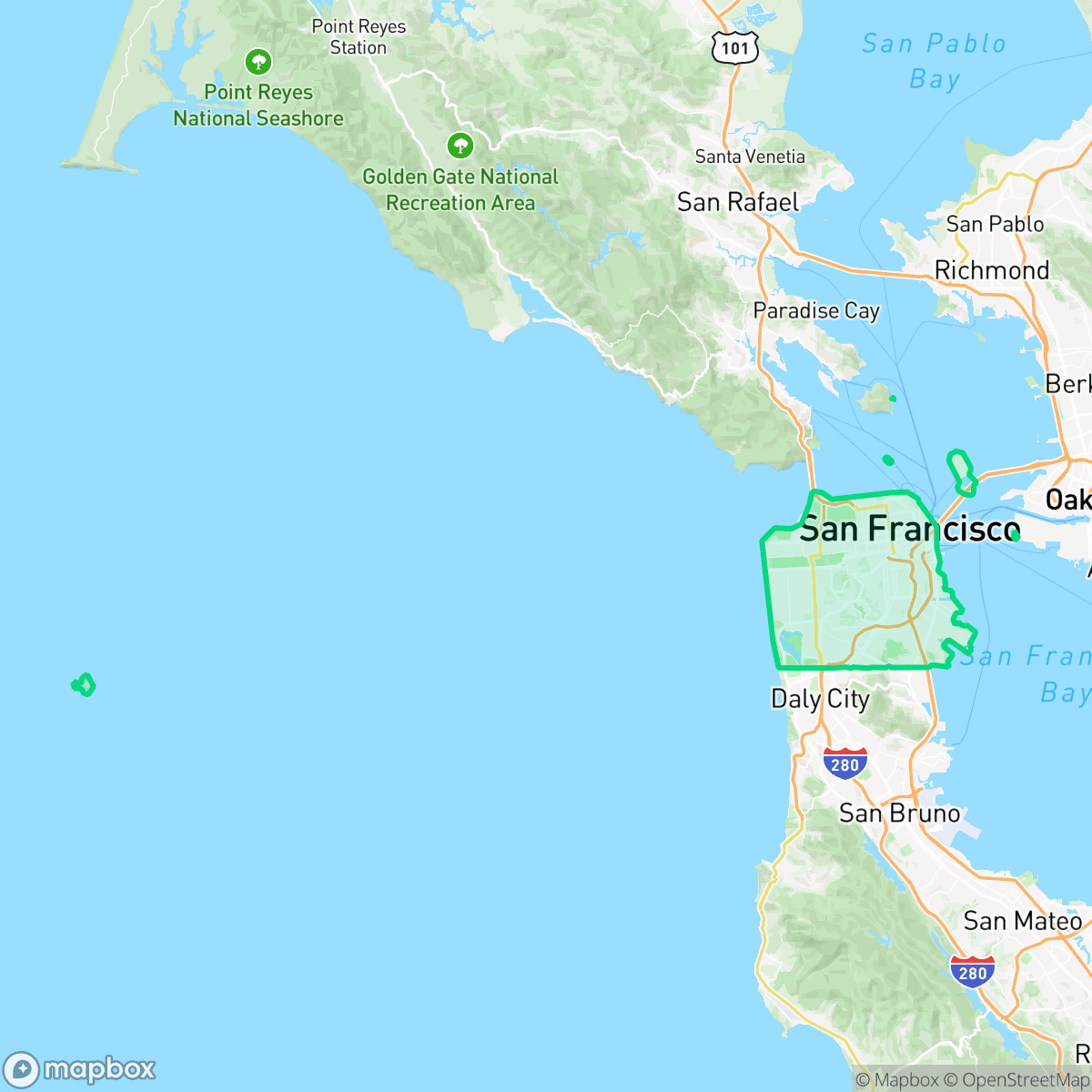
San Francisco, California, is globally recognized for its steep rolling hills, iconic Golden Gate Bridge, and rich history of progressive cultural movements. The city offers exceptional walkability across almost all of its dense neighborhoods, allowing residents to easily navigate daily life on foot. However, environmental vulnerabilities are a pronounced concern, with particularly low ratings for both fire and flood safety. This vibrant, highly dense metropolis is best suited for active, community-minded individuals who prioritize pedestrian-friendly urban living and a strongly progressive social environment.
Explore San Francisco by Neighborhood
San Francisco Quality Scores
See how neighborhoods in San Francisco compare on urban-rural index. Rankings are based on measured data aggregated across each neighborhood boundary.
See how neighborhoods in San Francisco compare on liveliness and vibe. Rankings are based on measured data aggregated across each neighborhood boundary.
See how neighborhoods in San Francisco compare on walkability. Rankings are based on measured data aggregated across each neighborhood boundary.
See how neighborhoods in San Francisco compare on privacy index. Rankings are based on measured data aggregated across each neighborhood boundary.
See how neighborhoods in San Francisco compare on visual appeal. Rankings are based on measured data aggregated across each neighborhood boundary.
See how neighborhoods in San Francisco compare on dog friendliness. Rankings are based on measured data aggregated across each neighborhood boundary.
See how neighborhoods in San Francisco compare on acoustic comfort. Rankings are based on measured data aggregated across each neighborhood boundary.
See how neighborhoods in San Francisco compare on air quality. Rankings are based on measured data aggregated across each neighborhood boundary.
See how neighborhoods in San Francisco compare on industrial proximity. Rankings are based on measured data aggregated across each neighborhood boundary.
See how neighborhoods in San Francisco compare on health insurance coverage. Rankings are based on measured data aggregated across each neighborhood boundary.
See how neighborhoods in San Francisco compare on ideological lean. Rankings are based on measured data aggregated across each neighborhood boundary.
See how neighborhoods in San Francisco compare on population age profile. Rankings are based on measured data aggregated across each neighborhood boundary.
See how neighborhoods in San Francisco compare on flood safety. Rankings are based on measured data aggregated across each neighborhood boundary.
See how neighborhoods in San Francisco compare on fire safety. Rankings are based on measured data aggregated across each neighborhood boundary.
San Francisco Neighborhood Rankings

iHuus Neighborhood Intelligence Insights
Get block-level neighborhood insights for San Francisco
- Street-level scores — see how individual blocks compare, not just neighborhood averages
- Micro-zone boundaries — identify quiet pockets, flood boundaries, and walkable clusters before you visit
- 15 dimensions in full — walkability, noise, air quality, school quality, insurance coverage, population age profile, urban/rural index, and more
- Boundary risk alerts — know if your address sits near a block boundary where scores drop, the kind of detail no listing will ever mention
- School insights — individual school ratings and insights, not just district-level data
- Compare before you commit — side-by-side data across neighborhoods, down to block precision
No credit card required