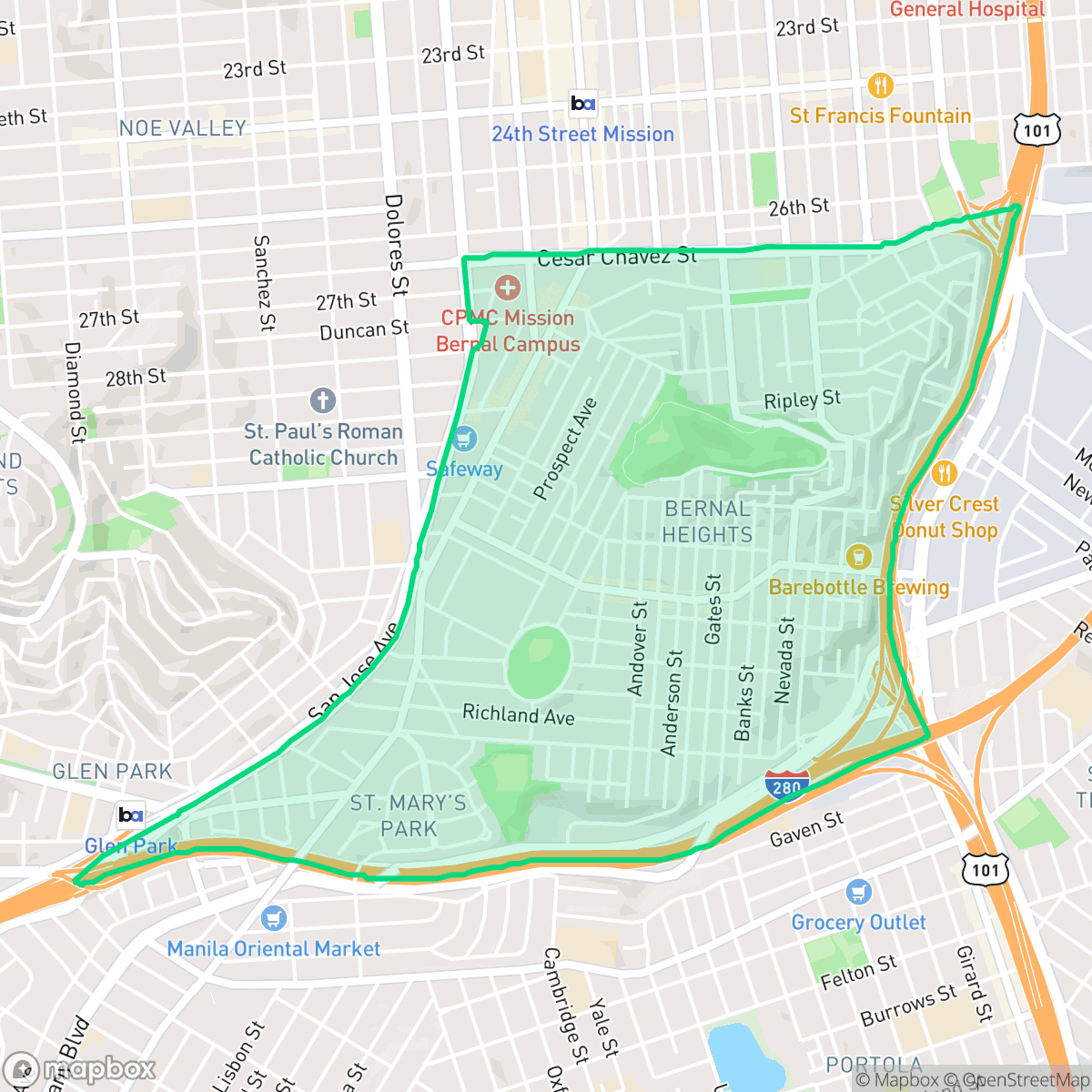
Bernal Heights, San Francisco
Updated June 22, 2026 · 25,090 residents
Bernal Heights is defined by its steep topography, iconic hilltop park, and a dense, historic grid of Victorian cottages. While the area is exceptionally walkable and features a lively commercial corridor on Cortland Avenue, residents experience significant noise from nearby freeway traffic and limited privacy due to the tightly packed housing.
Key Highlights
About Bernal Heights
Originally part of José Cornelio Bernal’s 1839 Mexican land grant, Bernal Heights was subdivided in 1860 by financier François Pioche. The neighborhood largely escaped damage during the 1906 earthquake, subsequently becoming a haven for displaced residents. Today, it boasts San Francisco’s largest surviving collection of historic "earthquake shacks," alongside an abundance of Victorian cottages built by early European immigrants. Cortland Avenue serves as the neighborhood's vibrant commercial spine, while its defining natural landmark, Bernal Hill, offers panoramic 360-degree views of the city. Historically a working-class enclave, the neighborhood evolved into a hub for artists and activists in the late 20th century. It is home to long-standing local institutions like Wild Side West, an LGBTQ-friendly bar operating since 1962.
The neighborhood functions as a dense urban enclave where steep, winding streets offer panoramic views of the city. The architectural landscape consists primarily of historic row houses and cottages, which contribute to a high-density environment where shared walls and narrow gaps between homes are common. According to iHuus data, the area maintains a strong sense of community and high ideological alignment, reflected in its active local social scene and diverse dining options along its main commercial arteries. Living here requires balancing the benefits of a highly walkable, transit-accessible lifestyle with certain environmental trade-offs. The proximity to major highway infrastructure results in high ambient noise levels, which prospective residents should consider when evaluating properties. While the area lacks expansive private green space, the central hilltop park serves as a primary outdoor hub for the community. Families should note that local public schools within the San Francisco Unified School District face ongoing fiscal and operational challenges, though the neighborhood remains a popular choice for those seeking a vibrant, established urban character.
Neighborhood Scores Across 15 Qualities
Close proximity between structures and shared walls are common throughout the area. According to iHuus data, residential density and narrow gaps between buildings result in privacy levels that are similar to the city average.
Continuous sidewalks and frequent crosswalks make navigating the residential grid easy on foot. This level of connectivity is nearly identical to the San Francisco average.
Standard row houses and dense housing units characterize the landscape, which is slightly below the San Francisco average for visual variety. According to iHuus data, the area features uniform rooflines and minimal private greenery or luxury amenities.
Proximity to Corona Heights Park and several smaller green patches provides reliable walking opportunities for pets. While sidewalk verges are limited in dense residential pockets, the area offers better access to public greenery than the San Francisco average according to iHuus data.
Low-rise row houses and tightly packed residential blocks create a dense urban fabric with less open space than the San Francisco average. Major highway infrastructure and industrial warehouses border parts of the neighborhood, contributing to a high level of building coverage.
A diverse mix of dining and social hubs provides a consistent local rhythm that is roughly in line with the city average. Many residents can find a variety of cafes and eateries within walkable, mid-rise urban blocks and near park spaces.
Frequent acoustic disturbances from nearby transit corridors and flight paths characterize this area. According to iHuus data, noise levels are significantly higher than the San Francisco average.
Air quality is consistently high with rare instances of elevated readings. According to iHuus data, the air quality in this area is slightly better than the San Francisco average.
Industrial presence is minimal throughout most of the area, consisting primarily of residential and light commercial uses. While some southeast sectors near highway corridors feature larger warehouse structures, the neighborhood remains slightly more industrial than the San Francisco average according to iHuus data.
Health insurance access is exceptionally high among residents, significantly surpassing the San Francisco average according to iHuus data.
Voting patterns and census indicators reflect a strongly liberal political identity that is slightly more pronounced than the San Francisco average. According to iHuus data, this political leaning is a defining characteristic of the local community.
Residents live alongside a balanced mix of young professionals, families, and older adults. This age distribution is roughly in line with the broader San Francisco area, according to iHuus data.
Properties in certain areas are situated within a designated floodplain, which may necessitate flood insurance. According to iHuus data, the risk level in this neighborhood is slightly higher than the San Francisco average.
Block-Level Insights for Bernal Heights

iHuus Neighborhood Intelligence Insights
Get block-level neighborhood insights for Bernal Heights
- Street-level scores — see how individual blocks compare, not just neighborhood averages
- Micro-zone boundaries — identify quiet pockets, flood boundaries, and walkable clusters before you visit
- 15 dimensions in full — walkability, noise, air quality, school quality, insurance coverage, population age profile, urban/rural index, and more
- Boundary risk alerts — know if your address sits near a block boundary where scores drop, the kind of detail no listing will ever mention
- School insights — individual school ratings and insights, not just district-level data
- Compare before you commit — side-by-side data across neighborhoods, down to block precision
No credit card required
Compare with Any Neighborhood
| Dimension | Bernal Heights | Alamo Square |
|---|---|---|
| 🚶 Walkabilityavg 9.91 | ||
| 🔊 Acoustic Comfortavg 3.4 | ||
| 🤫 Privacy Indexavg 2.14 | ||
| 🎨 Visual Appealavg 6.26 | ||
| 🐕 Dog Friendlinessavg 6.55 | ||
| 🗺️ Urban-Rural Indexavg 4.07 | ||
| ✨ Neighborhood Vibeavg 6.4 | ||
| 🏥 Health Insurance Coverageavg 7.87 | ||
| 🌿 Air Qualityavg 7.78 | ||
| 🏭 Industrial Proximityavg 9.37 | ||
| 🌊 Flood Safetyavg 1.89 | ||
| 🗳️ Ideological Leanavg 9.92 | ||
| 👥 Population Age Profileavg 5.18 | ||
| 🔥 Fire Safetyavg 0.01 | ||
| 🏫 School Quality |
Bernal Heights Rankings
School Districts Serving Bernal Heights
San Francisco Unified School District is currently in a state of operational and financial distress, characterized by a staggering $420 million budget deficit and state-level fiscal oversight. While the district maintains several world-class 'destination' schools and outperforms state averages in core proficiency, these successes are undermined by a profound achievement gap, with a high volume of schools performing at the bottom 10% of state rankings. Chronic enrollment loss, staffing challenges exacerbated by the high cost of living, and contentious board governance regarding curriculum and school closures have eroded community trust and stability, resulting in a 'distressed' rating despite the district's high-performing academic pockets.
Schools
School Insights for Bernal Heights
Below average outcomes; significant attendance and academic challenges.
School Insights
See what's really behind every school rating near Bernal Heights
- Individual school ratings — each school's own score with outcome context, not just a district average
- Enrollment & class size data — student-to-teacher ratio and how it compares to the state average
- Full demographics breakdown — ethnicity and gender composition for every school in the enrollment zone
- Every school in the district — all schools within the enrollment boundary ranked by rating, not just the closest one
- Grade levels & benchmarks — elementary through high school, with below/above state-average flags
No credit card required