Westwood Park, San Francisco
Updated June 22, 2026 · 2,048 residents
Westwood Park is a highly walkable residential enclave in San Francisco characterized by its unique oval street layout and historic bungalow architecture. Residents benefit from excellent air quality and convenient access to local dining and cafes along the nearby commercial corridors.
Key Highlights
About Westwood Park
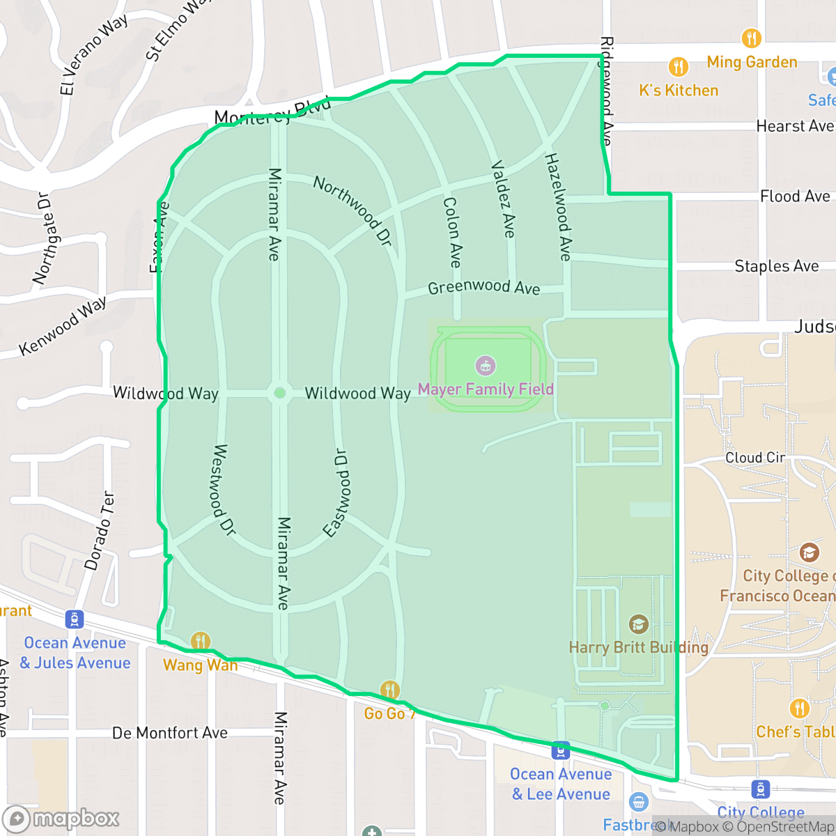
Developed starting in 1916 by real estate firm Baldwin & Howell on the southern slopes of Mount Davidson, Westwood Park was designed as a "modern residence park" for middle-class families. The neighborhood’s growth was catalyzed by the 1918 opening of the Twin Peaks Tunnel. Engineer John M. Punnett laid out the tract in a distinct, elongated oval shape with concentric, curvilinear streets bisected by Miramar Avenue. Architect Charles F. Strothoff and prominent designer Ida F. McCain created the neighborhood’s signature housing stock: hundreds of Craftsman and Mediterranean-style bungalows built from 1918 to 1923. Notable features include historic stone pillars and gateways designed by architect Louis Christian Mullgardt. While early covenants restricted ownership to white residents, Dorothy Mae Provost Adams and Artemus Adams broke this barrier in 1959, becoming the neighborhood's first Black homeowners.
The neighborhood offers a dense, urban residential environment where the community is defined by its organized street grid and proximity to essential services. According to iHuus data, the area maintains a high level of walkability, allowing residents to easily reach social hubs like Philz Coffee and various dining establishments on foot. The atmosphere is generally calm, providing a stable, purely residential setting that remains free from industrial hazards or large-scale warehouse activity.
Prospective residents should note that the neighborhood features tightly packed detached homes, which results in limited privacy between neighbors. While the area boasts strong health insurance coverage and clean air, the local school district currently faces significant financial and operational challenges. This location is best suited for those who prioritize neighborhood connectivity and a pedestrian-friendly lifestyle over spacious private yards or absolute acoustic isolation.
Neighborhood Scores Across 15 Qualities
Residential structures are positioned in close proximity with narrow gaps between properties. This level of density offers slightly more separation than the San Francisco average, but many homes remain closely situated with minimal side yard space.
Continuous sidewalks and marked crosswalks make navigating the neighborhood on foot very easy. This area offers slightly better pedestrian infrastructure than the San Francisco average, featuring clear crossings and dedicated pedestrian bridges.
Residential architecture consists primarily of consistent, middle-class tract housing with uniform rooflines and small yards. This landscape is slightly less visually varied than the typical San Francisco neighborhood, according to iHuus data.
Proximity to Balboa Park and various athletic fields provides ample green space for pets. According to iHuus data, the availability of public greenery and walking verges is slightly below the city average.
Residential blocks feature a balanced mix of street density and green space, offering a more suburban character than the typical San Francisco urban core. According to iHuus data, the area maintains a higher ratio of greenery to structures than the city average.
Diverse dining options and social hubs are readily accessible, providing a level of activity that is notably higher than the San Francisco average. Local amenities, such as various cafes and eateries, are distributed across a blend of mid-rise urban blocks and suburban green spaces.
Steady traffic sounds from nearby busy streets are common here, though levels remain slightly more tranquil than the city average according to iHuus data.
Air quality in this area is consistently good, staying slightly above the San Francisco average. According to iHuus data, residents can expect mostly clean air with only rare instances of elevated readings.
No warehouses, factories, or industrial facilities are present within the neighborhood boundaries. According to iHuus data, this area is exclusively residential and institutional, offering a notable absence of industrial activity compared to the rest of San Francisco.
Health insurance enrollment among residents is notably higher than the San Francisco average, according to iHuus data.
Voting patterns and census indicators show a deeply liberal political leaning that is consistent with the city average. Residents will find a political landscape that aligns with the broader San Francisco community.
Residents encounter a diverse age range consisting of young adults, families, and older individuals. According to iHuus data, this distribution is slightly more varied than the average found across San Francisco.
Flood risk in this area is notably higher than the San Francisco average, though specific hazard levels remain undetermined due to a lack of detailed federal studies. According to iHuus data, residents should remain aware of potential vulnerabilities during extreme weather events.
Block-Level Insights for Westwood Park

iHuus Neighborhood Intelligence Insights
Get block-level neighborhood insights for Westwood Park
- Street-level scores — see how individual blocks compare, not just neighborhood averages
- Micro-zone boundaries — identify quiet pockets, flood boundaries, and walkable clusters before you visit
- 15 dimensions in full — walkability, noise, air quality, school quality, insurance coverage, population age profile, urban/rural index, and more
- Boundary risk alerts — know if your address sits near a block boundary where scores drop, the kind of detail no listing will ever mention
- School insights — individual school ratings and insights, not just district-level data
- Compare before you commit — side-by-side data across neighborhoods, down to block precision
No credit card required
Compare with Any Neighborhood
| Dimension | Westwood Park | Alamo Square |
|---|---|---|
| 🚶 Walkabilityavg 9.91 | ||
| 🔊 Acoustic Comfortavg 3.4 | ||
| 🤫 Privacy Indexavg 2.14 | ||
| 🎨 Visual Appealavg 6.26 | ||
| 🐕 Dog Friendlinessavg 6.55 | ||
| 🗺️ Urban-Rural Indexavg 4.07 | ||
| ✨ Neighborhood Vibeavg 6.4 | ||
| 🏥 Health Insurance Coverageavg 7.87 | ||
| 🌿 Air Qualityavg 7.78 | ||
| 🏭 Industrial Proximityavg 9.37 | ||
| 🌊 Flood Safetyavg 1.89 | ||
| 🗳️ Ideological Leanavg 9.92 | ||
| 👥 Population Age Profileavg 5.18 | ||
| 🔥 Fire Safetyavg 0.01 | ||
| 🏫 School Quality |
Westwood Park Rankings
School Districts Serving Westwood Park
San Francisco Unified School District is currently in a state of operational and financial distress, characterized by a staggering $420 million budget deficit and state-level fiscal oversight. While the district maintains several world-class 'destination' schools and outperforms state averages in core proficiency, these successes are undermined by a profound achievement gap, with a high volume of schools performing at the bottom 10% of state rankings. Chronic enrollment loss, staffing challenges exacerbated by the high cost of living, and contentious board governance regarding curriculum and school closures have eroded community trust and stability, resulting in a 'distressed' rating despite the district's high-performing academic pockets.
Schools
School Insights for Westwood Park
Below average outcomes; significant attendance and academic challenges.
School Insights
See what's really behind every school rating near Westwood Park
- Individual school ratings — each school's own score with outcome context, not just a district average
- Enrollment & class size data — student-to-teacher ratio and how it compares to the state average
- Full demographics breakdown — ethnicity and gender composition for every school in the enrollment zone
- Every school in the district — all schools within the enrollment boundary ranked by rating, not just the closest one
- Grade levels & benchmarks — elementary through high school, with below/above state-average flags
No credit card required