Santa Ana Neighborhood Intelligence Index
Updated June 22, 2026 · 63 neighborhoods measured
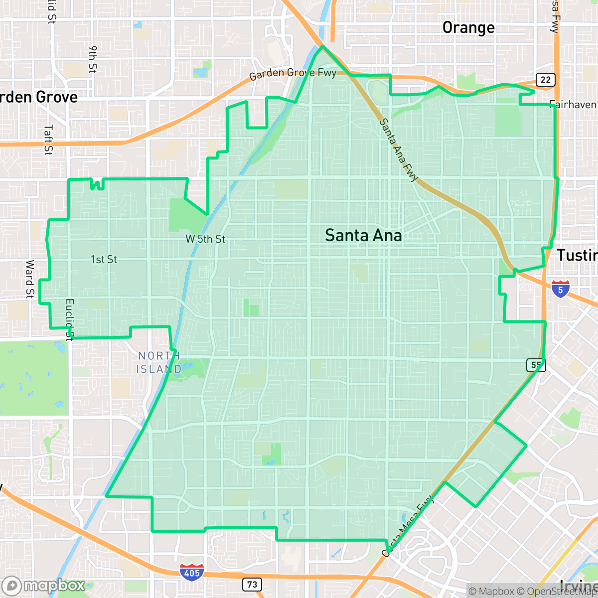
Serving as the county seat of Orange County, California, Santa Ana is a major regional economic and cultural hub defined by its prominent Mexican-American heritage and historic downtown district. While the city features outstanding walkability, allowing residents to complete most daily errands on foot, it suffers from poor acoustic comfort due to high ambient noise levels. Additionally, the municipality faces severe vulnerabilities regarding fire safety. This dense, active city is best suited for residents who prioritize pedestrian-friendly living and a culturally diverse, urban environment.
Explore Santa Ana by Neighborhood
Santa Ana Quality Scores
See how neighborhoods in Santa Ana compare on urban-rural index. Rankings are based on measured data aggregated across each neighborhood boundary.
See how neighborhoods in Santa Ana compare on liveliness and vibe. Rankings are based on measured data aggregated across each neighborhood boundary.
See how neighborhoods in Santa Ana compare on acoustic comfort. Rankings are based on measured data aggregated across each neighborhood boundary.
See how neighborhoods in Santa Ana compare on air quality. Rankings are based on measured data aggregated across each neighborhood boundary.
See how neighborhoods in Santa Ana compare on industrial proximity. Rankings are based on measured data aggregated across each neighborhood boundary.
See how neighborhoods in Santa Ana compare on health insurance coverage. Rankings are based on measured data aggregated across each neighborhood boundary.
See how neighborhoods in Santa Ana compare on ideological lean. Rankings are based on measured data aggregated across each neighborhood boundary.
See how neighborhoods in Santa Ana compare on population age profile. Rankings are based on measured data aggregated across each neighborhood boundary.
See how neighborhoods in Santa Ana compare on privacy index. Rankings are based on measured data aggregated across each neighborhood boundary.
See how neighborhoods in Santa Ana compare on walkability. Rankings are based on measured data aggregated across each neighborhood boundary.
See how neighborhoods in Santa Ana compare on visual appeal. Rankings are based on measured data aggregated across each neighborhood boundary.
See how neighborhoods in Santa Ana compare on dog friendliness. Rankings are based on measured data aggregated across each neighborhood boundary.
See how neighborhoods in Santa Ana compare on flood safety. Rankings are based on measured data aggregated across each neighborhood boundary.
Santa Ana Neighborhood Rankings

iHuus Neighborhood Intelligence Insights
Get block-level neighborhood insights for Santa Ana
- Street-level scores — see how individual blocks compare, not just neighborhood averages
- Micro-zone boundaries — identify quiet pockets, flood boundaries, and walkable clusters before you visit
- 15 dimensions in full — walkability, noise, air quality, school quality, insurance coverage, population age profile, urban/rural index, and more
- Boundary risk alerts — know if your address sits near a block boundary where scores drop, the kind of detail no listing will ever mention
- School insights — individual school ratings and insights, not just district-level data
- Compare before you commit — side-by-side data across neighborhoods, down to block precision
No credit card required