San Angelo Neighborhood Intelligence Index
Updated June 22, 2026 · 23 neighborhoods measured
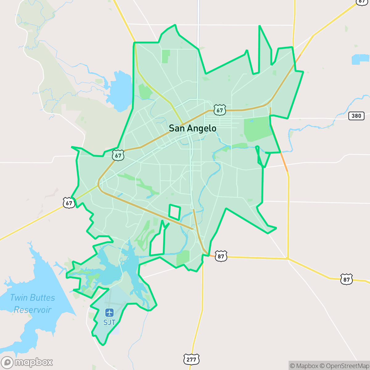
San Angelo, Texas, known as the "Queen of the Conchos," is a historic West Texas city situated at the confluence of the North and South Concho rivers and anchored by historic Fort Concho. While residents benefit from residential areas built safely away from industrial zones, the city faces severe challenges with exceptionally poor air quality and a pronounced vulnerability to flooding. The community maintains a quiet, subdued pace of life alongside a strongly conservative local culture. San Angelo best suits families, military personnel, and retirees seeking a slow-paced, traditional West Texas lifestyle steeped in frontier heritage.
Explore San Angelo by Neighborhood
San Angelo Quality Scores
See how neighborhoods in San Angelo compare on ideological lean. Rankings are based on measured data aggregated across each neighborhood boundary.
See how neighborhoods in San Angelo compare on industrial proximity. Rankings are based on measured data aggregated across each neighborhood boundary.
See how neighborhoods in San Angelo compare on health insurance coverage. Rankings are based on measured data aggregated across each neighborhood boundary.
See how neighborhoods in San Angelo compare on acoustic comfort. Rankings are based on measured data aggregated across each neighborhood boundary.
See how neighborhoods in San Angelo compare on urban-rural index. Rankings are based on measured data aggregated across each neighborhood boundary.
See how neighborhoods in San Angelo compare on liveliness and vibe. Rankings are based on measured data aggregated across each neighborhood boundary.
See how neighborhoods in San Angelo compare on population age profile. Rankings are based on measured data aggregated across each neighborhood boundary.
See how neighborhoods in San Angelo compare on flood safety. Rankings are based on measured data aggregated across each neighborhood boundary.
See how neighborhoods in San Angelo compare on visual appeal. Rankings are based on measured data aggregated across each neighborhood boundary.
See how neighborhoods in San Angelo compare on dog friendliness. Rankings are based on measured data aggregated across each neighborhood boundary.
See how neighborhoods in San Angelo compare on privacy index. Rankings are based on measured data aggregated across each neighborhood boundary.
See how neighborhoods in San Angelo compare on walkability. Rankings are based on measured data aggregated across each neighborhood boundary.
San Angelo Neighborhood Rankings

iHuus Neighborhood Intelligence Insights
Get block-level neighborhood insights for San Angelo
- Street-level scores — see how individual blocks compare, not just neighborhood averages
- Micro-zone boundaries — identify quiet pockets, flood boundaries, and walkable clusters before you visit
- 15 dimensions in full — walkability, noise, air quality, school quality, insurance coverage, population age profile, urban/rural index, and more
- Boundary risk alerts — know if your address sits near a block boundary where scores drop, the kind of detail no listing will ever mention
- School insights — individual school ratings and insights, not just district-level data
- Compare before you commit — side-by-side data across neighborhoods, down to block precision
No credit card required