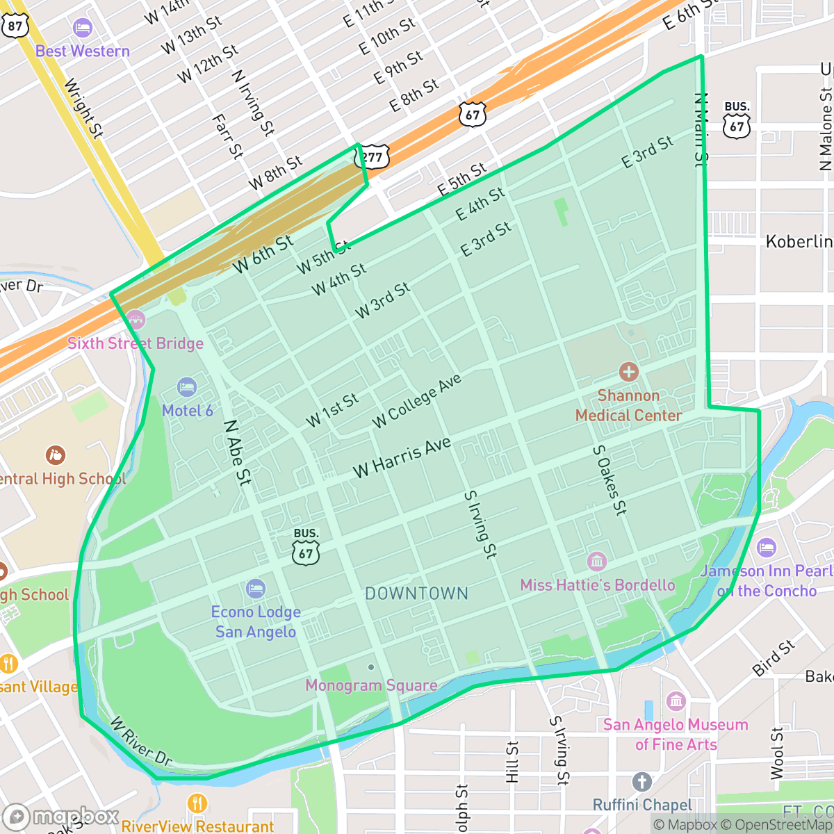
Downtown, San Angelo
Updated June 22, 2026 · 1,399 residents
Downtown San Angelo serves as the city's cultural heart, defined by its historic limestone architecture, vibrant mural-lined streets, and a lively social scene. While the neighborhood offers diverse dining and entertainment options, residents navigate a car-dependent environment with limited pedestrian infrastructure and moderate traffic noise.
Key Highlights
About Downtown
Downtown San Angelo originated in the late 1860s as a trading post established by Bart DeWitt, situated across the Concho River from the newly formed Fort Concho. The area grew rapidly as a business hub for cattle and sheep ranchers, with architect Oscar Ruffini defining its late 19th-century commercial aesthetic. Notable landmarks include the 1929 Spanish Revival-style Cactus Hotel and Miss Hattie's, a former 1896 bordello now operating as a museum. Today, the neighborhood is a designated Cultural District, characterized by its historic limestone architecture, vibrant murals depicting frontier life, and fiberglass sheep statues that commemorate the region’s historical prominence in the wool industry. Recent revitalization efforts have repurposed industrial sites, such as a former Coca-Cola bottling plant, into the San Angelo Performing Arts Center, blending the area's Western heritage with a contemporary arts scene.
The neighborhood functions as a central hub for social activity, featuring a concentration of local restaurants and community venues that create a distinct atmosphere compared to the rest of the city. It maintains a semi-rural feel with open land and scattered development, providing a less dense environment than typical urban centers. Residents benefit from a balanced demographic profile, fostering a community that includes young adults, families, and retirees.
Prospective residents should note that the area is situated within a known floodplain, which may influence insurance requirements. While the neighborhood offers a vibrant lifestyle, it provides limited space for pets and lacks extensive dedicated sidewalks for pedestrians. Families should consider that the local school district is currently navigating significant structural changes and performance challenges. Additionally, while the area is relatively quiet, steady traffic from nearby thoroughfares is a common feature of daily life.
Neighborhood Scores Across 15 Qualities
Residential spacing provides a moderate level of separation between neighbors, which is roughly in line with the city average. According to iHuus data, the area features mixed density with some buffer zones between adjacent properties.
Pedestrian movement is possible due to low traffic volumes, though a lack of dedicated sidewalks distinguishes this area from the more pedestrian-friendly parts of San Angelo.
Residential views consist of typical tract housing with modest yards and simple rooflines. This level of visual variety is consistent with the city average, according to iHuus data.
Access to large green verges and public parks for pets is somewhat limited in this area. According to iHuus data, the availability of dog-friendly outdoor space is below the San Angelo average.
Open land and scattered structures are common throughout this area, though it feels slightly less open than the San Angelo average. This balance of greenery and development provides a less dense environment than the city center.
Concentrated social hubs and diverse dining options make this area significantly more active than the San Angelo average. While the presence of local restaurants and parks creates a vibrant atmosphere, many blocks remain car-dependent due to the proximity of industrial zones and highways.
Steady traffic sounds from nearby busy streets are present, though levels are slightly higher than the San Angelo average according to iHuus data.
Industrial activity is very low in this area, consisting primarily of residential streets and light commercial zones. This neighborhood has slightly more proximity to industrial zones than the San Angelo average, though no significant hazards are present according to iHuus data.
Health insurance coverage among residents is lower than the San Angelo average. According to iHuus data, fewer than half of the population in this area is covered by a health plan.
Political trends in this area lean conservative, representing a more right-leaning presence than the San Angelo average according to iHuus data.
A varied demographic of young adults, families, and seniors resides here; according to iHuus data, this age distribution is more balanced than the city average.
Properties in this area are located within a known floodplain, which may necessitate flood insurance. According to iHuus data, the risk level here is higher than the San Angelo average.
Block-Level Insights for Downtown

iHuus Neighborhood Intelligence Insights
Get block-level neighborhood insights for Downtown
- Street-level scores — see how individual blocks compare, not just neighborhood averages
- Micro-zone boundaries — identify quiet pockets, flood boundaries, and walkable clusters before you visit
- 15 dimensions in full — walkability, noise, air quality, school quality, insurance coverage, population age profile, urban/rural index, and more
- Boundary risk alerts — know if your address sits near a block boundary where scores drop, the kind of detail no listing will ever mention
- School insights — individual school ratings and insights, not just district-level data
- Compare before you commit — side-by-side data across neighborhoods, down to block precision
No credit card required
Compare with Any Neighborhood
| Dimension | Downtown | Angelo Heights |
|---|---|---|
| 🚶 Walkabilityavg 5.86 | ||
| 🔊 Acoustic Comfortavg 4.52 | ||
| 🤫 Privacy Indexavg 6.06 | ||
| 🎨 Visual Appealavg 5.61 | ||
| 🐕 Dog Friendlinessavg 5.82 | ||
| 🗺️ Urban-Rural Indexavg 7.3 | ||
| ✨ Neighborhood Vibeavg 4.15 | ||
| 🏥 Health Insurance Coverageavg 6.22 | ||
| 🌿 Air Quality | ||
| 🏭 Industrial Proximityavg 8.42 | ||
| 🌊 Flood Safetyavg 3.02 | ||
| 🗳️ Ideological Leanavg 1.23 | ||
| 👥 Population Age Profileavg 4.73 | ||
| 🔥 Fire Safety | ||
| 🏫 School Quality |
Downtown Rankings
School Districts Serving Downtown
San Angelo ISD is currently classified as a distressed district due to significant long-term enrollment decline and structural budget deficits that have necessitated controversial school closures. While the district maintains a solid 'C' rating with pockets of excellence in its top-tier elementary schools and successful bond-funded facility upgrades, the extreme performance gap between its highest and lowest-achieving campuses is concerning. Community trust is currently tested by transparency issues surrounding consolidation efforts and a shrinking student population that threatens future funding. Despite competitive teacher compensation plans and strong extracurricular successes, the district's operational health is strained by the need for aggressive rightsizing and stagnant secondary academic performance.
Schools
School Insights for Downtown
Below average outcomes; significant attendance and academic challenges.
School Insights
See what's really behind every school rating near Downtown
- Individual school ratings — each school's own score with outcome context, not just a district average
- Enrollment & class size data — student-to-teacher ratio and how it compares to the state average
- Full demographics breakdown — ethnicity and gender composition for every school in the enrollment zone
- Every school in the district — all schools within the enrollment boundary ranked by rating, not just the closest one
- Grade levels & benchmarks — elementary through high school, with below/above state-average flags
No credit card required