Glenmore, San Angelo
Updated June 22, 2026 · 3,472 residents
Glenmore is a peri-urban neighborhood defined by a mix of residential areas, open green spaces, and significant industrial infrastructure. Residents benefit from the highly-rated Glenmore Elementary School, though the area is characterized by low walkability and notable noise from nearby road traffic.
Key Highlights
About Glenmore
The Glenmore neighborhood in San Angelo originated as a dispersed rural community settled before 1900 along the South Concho River. In 1900, prominent local figure Charles B. Metcalfe purchased the 1,400-acre Glenmore Farm, where he cultivated produce, built dams, and constructed his residence, Glenmore Hall, in 1907. By 1936, the community was absorbed into metropolitan San Angelo. In 1940, Metcalfe sold a portion of the Glenmore estate to the federal government to establish Goodfellow Air Force Base. This military connection remains central to the neighborhood's identity; Glenmore Elementary has partnered with the base since 1940 to serve a high percentage of military-connected students.
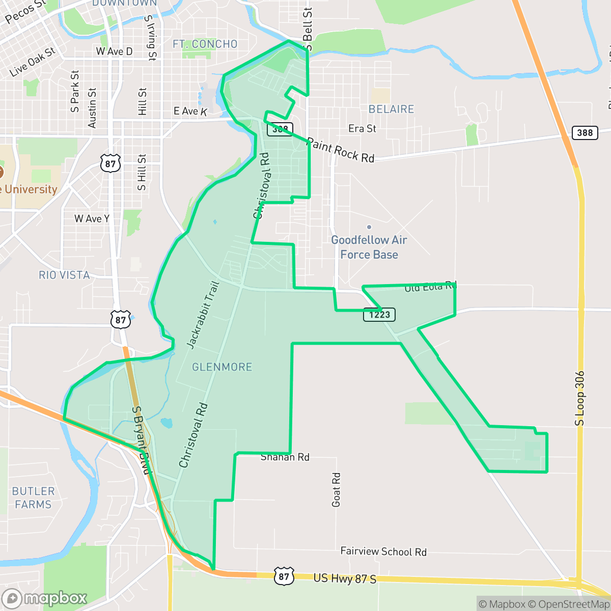
The neighborhood serves as a transition zone between residential living and heavy industrial activity, featuring a landscape of scattered homes, warehouses, and quarries. While the area offers a sense of privacy and access to expansive open spaces, it is primarily car-dependent, with limited commercial destinations and a lack of traditional urban amenities. Residents often contend with elevated noise levels from local road traffic and the presence of industrial facilities, including wastewater infrastructure and heavy machinery yards, which contribute to the area's distinct, utilitarian character.
Despite these industrial surroundings, the area remains attractive to families due to the presence of the top-tier Glenmore Elementary School. According to iHuus data, the neighborhood maintains higher health insurance coverage rates compared to the city average and generally better flood safety metrics. It is best suited for those who prioritize school access and larger plots of land over walkability or immediate proximity to retail and dining hubs.
Neighborhood Scores Across 15 Qualities
Residential spacing provides a moderate level of separation between neighbors, which is roughly in line with the San Angelo average according to iHuus data.
Low traffic volumes and quiet streets make for pleasant walking, though the lack of sidewalks means pedestrians must share the road with vehicles. This level of walkability is slightly below the San Angelo average according to iHuus data.
Typical tract housing defines the area, featuring modest yards and simple rooflines. This visual character is largely in line with the average across San Angelo.
Interconnected green spaces and wide, traffic-safe paths make this an area well-suited for pet owners. According to iHuus data, the availability of walking routes here is higher than the San Angelo average.
Open land and agricultural spaces are common throughout the area, providing a slightly more rural feel than the San Angelo average. According to iHuus data, the landscape transitions between scattered residential plots, undeveloped riverfront, and industrial outskirts.
A primarily serene and low-density landscape, this area offers a quiet atmosphere but lacks the commercial density found elsewhere in San Angelo. Most residents will find the environment is largely functional and vehicle-oriented, with few walkable destinations or social hubs.
Frequent noise from nearby transit infrastructure, such as a major freeway or railroad, makes this area significantly louder than the San Angelo average. According to iHuus data, residents can expect persistent acoustic disturbances throughout the day.
Industrial activity is minimal here, with only a few utilities and light commercial elements present. This neighborhood remains slightly more residential than the San Angelo average according to iHuus data.
Health insurance accessibility in Glenmore is consistent with the San Angelo average. According to iHuus data, coverage levels among residents are moderate.
Political leanings in this area are predominantly conservative, appearing slightly more so than the San Angelo average according to iHuus data.
Residents live alongside a varied mix of young adults, families, and seniors. This demographic spread is slightly lower than the San Angelo average, according to iHuus data.
Properties in this area are located within a designated floodplain, which may necessitate the purchase of flood insurance. This level of risk is slightly higher than the average found throughout San Angelo, according to iHuus data.
Block-Level Insights for Glenmore

iHuus Neighborhood Intelligence Insights
Get block-level neighborhood insights for Glenmore
- Street-level scores — see how individual blocks compare, not just neighborhood averages
- Micro-zone boundaries — identify quiet pockets, flood boundaries, and walkable clusters before you visit
- 15 dimensions in full — walkability, noise, air quality, school quality, insurance coverage, population age profile, urban/rural index, and more
- Boundary risk alerts — know if your address sits near a block boundary where scores drop, the kind of detail no listing will ever mention
- School insights — individual school ratings and insights, not just district-level data
- Compare before you commit — side-by-side data across neighborhoods, down to block precision
No credit card required
Compare with Any Neighborhood
| Dimension | Glenmore | Angelo Heights |
|---|---|---|
| 🚶 Walkabilityavg 5.86 | ||
| 🔊 Acoustic Comfortavg 4.52 | ||
| 🤫 Privacy Indexavg 6.06 | ||
| 🎨 Visual Appealavg 5.61 | ||
| 🐕 Dog Friendlinessavg 5.82 | ||
| 🗺️ Urban-Rural Indexavg 7.3 | ||
| ✨ Neighborhood Vibeavg 4.15 | ||
| 🏥 Health Insurance Coverageavg 6.22 | ||
| 🌿 Air Quality | ||
| 🏭 Industrial Proximityavg 8.42 | ||
| 🌊 Flood Safetyavg 3.02 | ||
| 🗳️ Ideological Leanavg 1.23 | ||
| 👥 Population Age Profileavg 4.73 | ||
| 🔥 Fire Safety | ||
| 🏫 School Quality |
Glenmore Rankings
School Districts Serving Glenmore
Wall Independent School District is a 'Blue Chip' rural organization characterized by elite academic performance, robust community financial backing, and high leadership stability. With all primary campuses achieving top-tier state rankings and a recent 71% approval of a tax rate election, the district maintains a rare balance of growth (18% over a decade) and intimate student-teacher ratios. The 'Home of Champions' culture is supported by both 'A' rated TEA scores and dominant athletic programs, while the lack of opposition in recent board elections signals an unusually high level of community satisfaction and operational consistency.
Schools
San Angelo ISD is currently classified as a distressed district due to significant long-term enrollment decline and structural budget deficits that have necessitated controversial school closures. While the district maintains a solid 'C' rating with pockets of excellence in its top-tier elementary schools and successful bond-funded facility upgrades, the extreme performance gap between its highest and lowest-achieving campuses is concerning. Community trust is currently tested by transparency issues surrounding consolidation efforts and a shrinking student population that threatens future funding. Despite competitive teacher compensation plans and strong extracurricular successes, the district's operational health is strained by the need for aggressive rightsizing and stagnant secondary academic performance.
Schools
School Insights for Glenmore
Below average outcomes; significant attendance and academic challenges.
School Insights
See what's really behind every school rating near Glenmore
- Individual school ratings — each school's own score with outcome context, not just a district average
- Enrollment & class size data — student-to-teacher ratio and how it compares to the state average
- Full demographics breakdown — ethnicity and gender composition for every school in the enrollment zone
- Every school in the district — all schools within the enrollment boundary ranked by rating, not just the closest one
- Grade levels & benchmarks — elementary through high school, with below/above state-average flags
No credit card required