Irving Neighborhood Intelligence Index
Updated June 22, 2026 · 19 neighborhoods measured
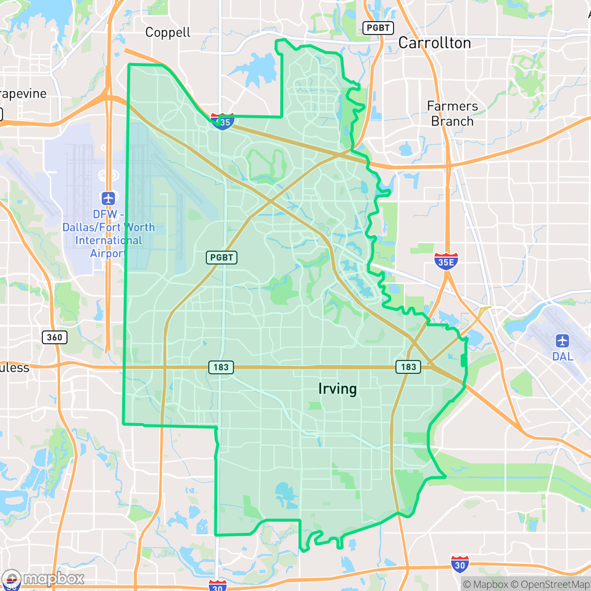
Situated in the heart of the Dallas–Fort Worth metroplex, Irving, Texas, is a highly diverse city recognized for its master-planned community of Las Colinas and its proximity to the Dallas Fort Worth International Airport. While many neighborhoods offer strong walkability, residents must frequently contend with poor air quality and subpar acoustic comfort. Additionally, flood safety remains a notable concern throughout the city. Irving is best suited for professionals, families, and frequent travelers who value a culturally rich, well-connected suburban hub with convenient urban amenities.
Explore Irving by Neighborhood
Irving Quality Scores
See how neighborhoods in Irving compare on air quality. Rankings are based on measured data aggregated across each neighborhood boundary.
See how neighborhoods in Irving compare on dog friendliness. Rankings are based on measured data aggregated across each neighborhood boundary.
See how neighborhoods in Irving compare on flood safety. Rankings are based on measured data aggregated across each neighborhood boundary.
See how neighborhoods in Irving compare on ideological lean. Rankings are based on measured data aggregated across each neighborhood boundary.
See how neighborhoods in Irving compare on industrial proximity. Rankings are based on measured data aggregated across each neighborhood boundary.
See how neighborhoods in Irving compare on health insurance coverage. Rankings are based on measured data aggregated across each neighborhood boundary.
See how neighborhoods in Irving compare on acoustic comfort. Rankings are based on measured data aggregated across each neighborhood boundary.
See how neighborhoods in Irving compare on population age profile. Rankings are based on measured data aggregated across each neighborhood boundary.
See how neighborhoods in Irving compare on urban-rural index. Rankings are based on measured data aggregated across each neighborhood boundary.
See how neighborhoods in Irving compare on liveliness and vibe. Rankings are based on measured data aggregated across each neighborhood boundary.
See how neighborhoods in Irving compare on visual appeal. Rankings are based on measured data aggregated across each neighborhood boundary.
See how neighborhoods in Irving compare on privacy index. Rankings are based on measured data aggregated across each neighborhood boundary.
See how neighborhoods in Irving compare on walkability. Rankings are based on measured data aggregated across each neighborhood boundary.
Irving Neighborhood Rankings

iHuus Neighborhood Intelligence Insights
Get block-level neighborhood insights for Irving
- Street-level scores — see how individual blocks compare, not just neighborhood averages
- Micro-zone boundaries — identify quiet pockets, flood boundaries, and walkable clusters before you visit
- 15 dimensions in full — walkability, noise, air quality, school quality, insurance coverage, population age profile, urban/rural index, and more
- Boundary risk alerts — know if your address sits near a block boundary where scores drop, the kind of detail no listing will ever mention
- School insights — individual school ratings and insights, not just district-level data
- Compare before you commit — side-by-side data across neighborhoods, down to block precision
No credit card required