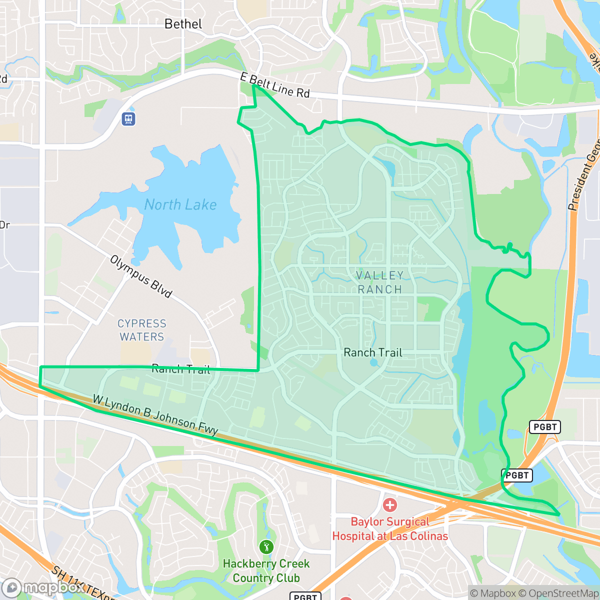
Valley Ranch, Irving
Updated June 22, 2026 · 25,030 residents
Valley Ranch is a highly walkable community in northern Irving, defined by its extensive canal-side trail system and a dense, suburban layout. Known for its diverse culinary scene and access to high-performing schools, the area offers a convenient, amenity-rich environment for residents who prioritize connectivity and an active lifestyle.
Key Highlights
About Valley Ranch
Originally a working cattle ranch situated beneath a prominent ridge, Valley Ranch in northern Irving was transformed into a 2,400-acre master-planned community starting in the late 1970s and 1980s. To reclaim the land from the Trinity River floodplain, developers established an extensive levee system and constructed over five miles of scenic, winding canals that double as flood control and pedestrian walkways. The neighborhood gained national prominence in 1985 when it became the home of the Dallas Cowboys' headquarters and practice facility, a landmark sports legacy that remained in the community until the team relocated to Frisco in 2016. Today, Valley Ranch is defined by its diverse residential character, featuring a prominent South Asian population supported by numerous local Indian grocery stores, markets, and restaurants.
Valley Ranch serves as a prominent residential hub characterized by a dense, master-planned layout that integrates suburban housing with a robust network of sidewalks and pedestrian trails. The area is notable for its high walkability and consistent access to green spaces, including the scenic canal paths that wind through the community. Residents benefit from a variety of local dining options and social hubs, reflecting the diverse cultural composition of the neighborhood. The proximity to major thoroughfares provides regional connectivity, while the local infrastructure maintains a steady rhythm of suburban life.
Prospective residents should consider that the high-density development results in limited privacy, as many townhomes and single-family houses are situated in close proximity with shared walls or narrow lot spacing. While the area offers excellent access to top-rated schools within the Carrollton-Farmers Branch and Coppell districts, the environment remains largely car-dependent for major errands outside of the immediate vicinity. The neighborhood is well-suited for families and professionals who value educational quality and an active, pedestrian-friendly lifestyle over secluded, low-density living.
Neighborhood Scores Across 15 Qualities
Residential layouts feature frequent shared walls and closely spaced housing units, resulting in less privacy than the average Irving neighborhood. Many areas consist of high-density townhomes and apartments where neighbors live in close proximity.
Extensive sidewalk networks and dedicated trail systems along the canal provide superior pedestrian connectivity compared to the Irving average. Residents can easily navigate between residential areas and commercial hubs using well-marked crossings and continuous paths.
Manicured landscaping and a high density of private pools create a more polished aesthetic than the Irving average. While some areas feature larger homes with complex architectural details, other sections consist of standard multi-family housing and shared community amenities.
Extensive greenbelts, canal-side pathways, and wide grassy verges provide much more space for pets than the city average. According to iHuus data, the connected park systems and continuous sidewalks offer a safe environment for walking dogs away from traffic.
Residential layouts consist of dense suburban developments and apartment complexes interspersed with commercial zones and industrial warehouses. This landscape aligns with the typical urban-rural balance found throughout the rest of Irving.
A steady pace of life prevails across much of the area, characterized by serene residential pockets and a moderate selection of local dining. While some social hubs exist near major roads, the overall energy is slightly more subdued than the Irving average.
Steady traffic hum from nearby busy streets is present, though acoustic comfort remains slightly higher than the Irving average according to iHuus data.
Air quality levels are generally acceptable but fluctuate between healthy and concerning for sensitive groups. This neighborhood experiences air conditions that are roughly in line with the Irving average, according to iHuus data.
Residential and light commercial uses dominate this area, with a lack of heavy industrial hazards or large warehouses compared to the city average. According to iHuus data, the landscape is primarily composed of residential streets, green spaces, and office zones.
Most residents in this area maintain health insurance, which is significantly higher than the average for Irving. According to iHuus data, this indicates a high level of healthcare accessibility within the community.
Political leanings in this area trend more liberal than the Irving average, according to iHuus data. Residents will find a predominantly liberal majority with a modest presence of opposing views.
A diverse mix of young adults, families, and older residents characterizes this area. According to iHuus data, the age distribution is largely consistent with the broader Irving area.
Flood risk in this area is higher than the Irving average, though current FEMA studies are not yet complete for this specific location. Residents should remain aware of potential uncertainty regarding detailed flood zone designations according to iHuus data.
Block-Level Insights for Valley Ranch

iHuus Neighborhood Intelligence Insights
Get block-level neighborhood insights for Valley Ranch
- Street-level scores — see how individual blocks compare, not just neighborhood averages
- Micro-zone boundaries — identify quiet pockets, flood boundaries, and walkable clusters before you visit
- 15 dimensions in full — walkability, noise, air quality, school quality, insurance coverage, population age profile, urban/rural index, and more
- Boundary risk alerts — know if your address sits near a block boundary where scores drop, the kind of detail no listing will ever mention
- School insights — individual school ratings and insights, not just district-level data
- Compare before you commit — side-by-side data across neighborhoods, down to block precision
No credit card required
Compare with Any Neighborhood
| Dimension | Valley Ranch | Bear Creek |
|---|---|---|
| 🚶 Walkabilityavg 7.64 | ||
| 🔊 Acoustic Comfortavg 4.08 | ||
| 🤫 Privacy Indexavg 5.22 | ||
| 🎨 Visual Appealavg 6.37 | ||
| 🐕 Dog Friendlinessavg 6.65 | ||
| 🗺️ Urban-Rural Indexavg 6.69 | ||
| ✨ Neighborhood Vibeavg 4.62 | ||
| 🏥 Health Insurance Coverageavg 5.16 | ||
| 🌿 Air Qualityavg 4.08 | ||
| 🏭 Industrial Proximityavg 7.88 | ||
| 🌊 Flood Safetyavg 3.48 | ||
| 🗳️ Ideological Leanavg 6.48 | ||
| 👥 Population Age Profileavg 4.39 | ||
| 🔥 Fire Safety | ||
| 🏫 School Quality |
Valley Ranch Rankings
School Districts Serving Valley Ranch
Carrollton-Farmers Branch ISD is a highly stable and high-performing district characterized by a strong portfolio of schools and successful long-term financial planning. With top-tier high schools and a proactive approach to facility modernization through bond measures, the district enjoys high community trust and a reputation for academic excellence. While some localized performance gaps exist in lower-rated middle and elementary schools, the district's overall operational health, diverse educational pathways, and competitive teacher retention strategies make it a premier choice for families in the North Texas region.
Schools
Coppell ISD remains an academic powerhouse in the DFW region, characterized by elite test scores, prestigious fine arts programs, and high-performing high schools. Despite its 'A+' academic standing and perfect ratings across the majority of its campuses, the district is currently managing a level of fiscal and operational instability due to a significant budget deficit and recent school consolidations. While community sentiment is slightly tempered by these logistical shifts and concerns over teacher retention, the district's fundamental educational output and facility standards remain among the best in Texas, securing its status as a highly stable, albeit transitioning, top-tier organization.
Schools
School Insights for Valley Ranch
Below average outcomes; significant attendance and academic challenges.
School Insights
See what's really behind every school rating near Valley Ranch
- Individual school ratings — each school's own score with outcome context, not just a district average
- Enrollment & class size data — student-to-teacher ratio and how it compares to the state average
- Full demographics breakdown — ethnicity and gender composition for every school in the enrollment zone
- Every school in the district — all schools within the enrollment boundary ranked by rating, not just the closest one
- Grade levels & benchmarks — elementary through high school, with below/above state-average flags
No credit card required