McArthur, Irving
Updated June 22, 2026 · 14,675 residents
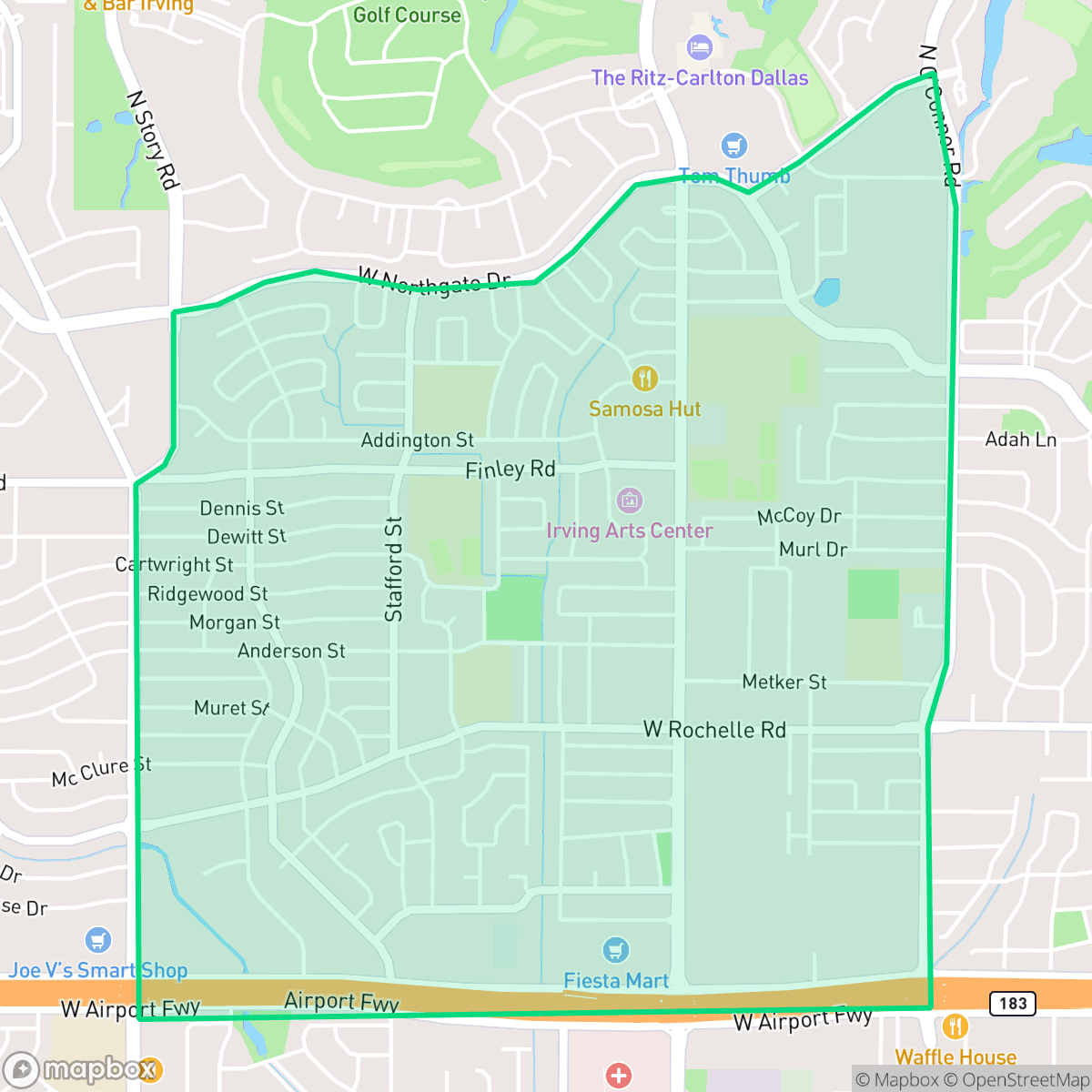
McArthur is a dense suburban neighborhood in Irving, Texas, characterized by a mix of single-family homes and mid-sized apartment complexes. The area features a grid-pattern street layout with consistent sidewalks, providing residents with moderate walkability and access to local dining and community services.
Key Highlights
About McArthur
The neighborhood serves as a residential hub featuring a balance of tract housing and apartment living. It maintains a consistent suburban appearance with small yards and private pools, supported by a grid of walkable streets. Local amenities include various dining options and community centers, such as local churches and retail services, which contribute to a steady, quiet rhythm of daily life. The area is primarily residential and light commercial, with no heavy industrial sites or large warehouses present.
According to iHuus data, the area is well-suited for those seeking proximity to local services and schools within the Irving Independent School District. Prospective residents should consider that the neighborhood lacks large public parks and has a higher density of housing, which limits individual privacy. Additionally, the area experiences moderate road noise and requires careful attention to flood safety, making it a pragmatic choice for those prioritizing central access and established suburban infrastructure.
Neighborhood Scores Across 15 Qualities
Residential spacing varies from shared apartment walls to suburban homes with modest buffers. This level of density is slightly higher than the Irving city average, according to iHuus data.
Residential streets feature continuous sidewalks and low traffic volumes, making them safe for pedestrians. While walking is generally easy, the nearby high-traffic highway can restrict movement for those crossing the southern edge of the area.
Residential views feature a mix of middle-class tract housing and multi-family apartment blocks with uniform rooflines. This level of visual variety sits slightly above the Irving average according to iHuus data.
Private fenced yards are common, but a lack of large public parks and narrow sidewalk verges make the area less dog-friendly than the Irving average. According to iHuus data, greenery is mostly restricted to private residential lots.
A blend of single-family residences, apartment complexes, and commercial retail zones creates a suburban landscape that is slightly less open than the Irving average. This area features significant commercial blocks and multi-lane highway corridors alongside residential pockets.
Diverse dining and essential services are readily available, making the area more active than the average Irving neighborhood. While some pockets offer walkable access to local shops, much of the lively, highway-adjacent area requires a car for navigation.
Steady sounds from nearby busy streets are common in this area. According to iHuus data, acoustic comfort levels are slightly higher than the Irving city average.
Air quality in this area fluctuates between acceptable and unhealthy levels, with occasional concerns for sensitive groups. According to iHuus data, these conditions are roughly in line with the average seen throughout Irving.
Residents can enjoy a landscape free from heavy industrial sites, warehouses, or manufacturing hazards. This area maintains a higher level of separation from industrial activity than the Irving average, featuring primarily residential and light commercial uses.
Health insurance access is slightly higher than the Irving city average, according to iHuus data. A portion of the resident population remains uninsured.
Political views in this area are evenly split between conservative and liberal leanings; this reflects a more moderate ideological landscape than the broader Irving area according to iHuus data.
Residents live alongside a balanced mix of young adults, families, and seniors. This demographic variety is slightly more pronounced than the average seen across Irving.
Flood risk in McArthur is elevated because portions of the area fall within a designated hundred year floodplain. According to iHuus data, this level of risk is consistent with the average seen across Irving.
Block-Level Insights for McArthur

iHuus Neighborhood Intelligence Insights
Get block-level neighborhood insights for McArthur
- Street-level scores — see how individual blocks compare, not just neighborhood averages
- Micro-zone boundaries — identify quiet pockets, flood boundaries, and walkable clusters before you visit
- 15 dimensions in full — walkability, noise, air quality, school quality, insurance coverage, population age profile, urban/rural index, and more
- Boundary risk alerts — know if your address sits near a block boundary where scores drop, the kind of detail no listing will ever mention
- School insights — individual school ratings and insights, not just district-level data
- Compare before you commit — side-by-side data across neighborhoods, down to block precision
No credit card required
Compare with Any Neighborhood
| Dimension | McArthur | Bear Creek |
|---|---|---|
| 🚶 Walkabilityavg 7.64 | ||
| 🔊 Acoustic Comfortavg 4.08 | ||
| 🤫 Privacy Indexavg 5.22 | ||
| 🎨 Visual Appealavg 6.37 | ||
| 🐕 Dog Friendlinessavg 6.65 | ||
| 🗺️ Urban-Rural Indexavg 6.69 | ||
| ✨ Neighborhood Vibeavg 4.62 | ||
| 🏥 Health Insurance Coverageavg 5.16 | ||
| 🌿 Air Qualityavg 4.08 | ||
| 🏭 Industrial Proximityavg 7.88 | ||
| 🌊 Flood Safetyavg 3.48 | ||
| 🗳️ Ideological Leanavg 6.48 | ||
| 👥 Population Age Profileavg 4.39 | ||
| 🔥 Fire Safety | ||
| 🏫 School Quality |
McArthur Rankings
School Districts Serving McArthur
Irving ISD is a stable, mid-tier district characterized by exceptional career and technical education (CTE) and specialized academies, balanced against inconsistent performance in its neighborhood elementary and middle schools. The district demonstrates strong operational health with successful bond management, competitive teacher recruitment strategies, and high community trust in its extracurricular and vocational pipelines. While ground truth data highlights a significant number of campuses with lower proficiency ratings, recent mid-2026 reporting shows measurable gains in early literacy and a proactive board focused on closing achievement gaps. It remains a 'mixed' environment where outcomes vary significantly by campus, but the organizational trajectory is bolstered by financial discipline and specialized academic success.
Schools
School Insights for McArthur
Below average outcomes; significant attendance and academic challenges.
School Insights
See what's really behind every school rating near McArthur
- Individual school ratings — each school's own score with outcome context, not just a district average
- Enrollment & class size data — student-to-teacher ratio and how it compares to the state average
- Full demographics breakdown — ethnicity and gender composition for every school in the enrollment zone
- Every school in the district — all schools within the enrollment boundary ranked by rating, not just the closest one
- Grade levels & benchmarks — elementary through high school, with below/above state-average flags
No credit card required