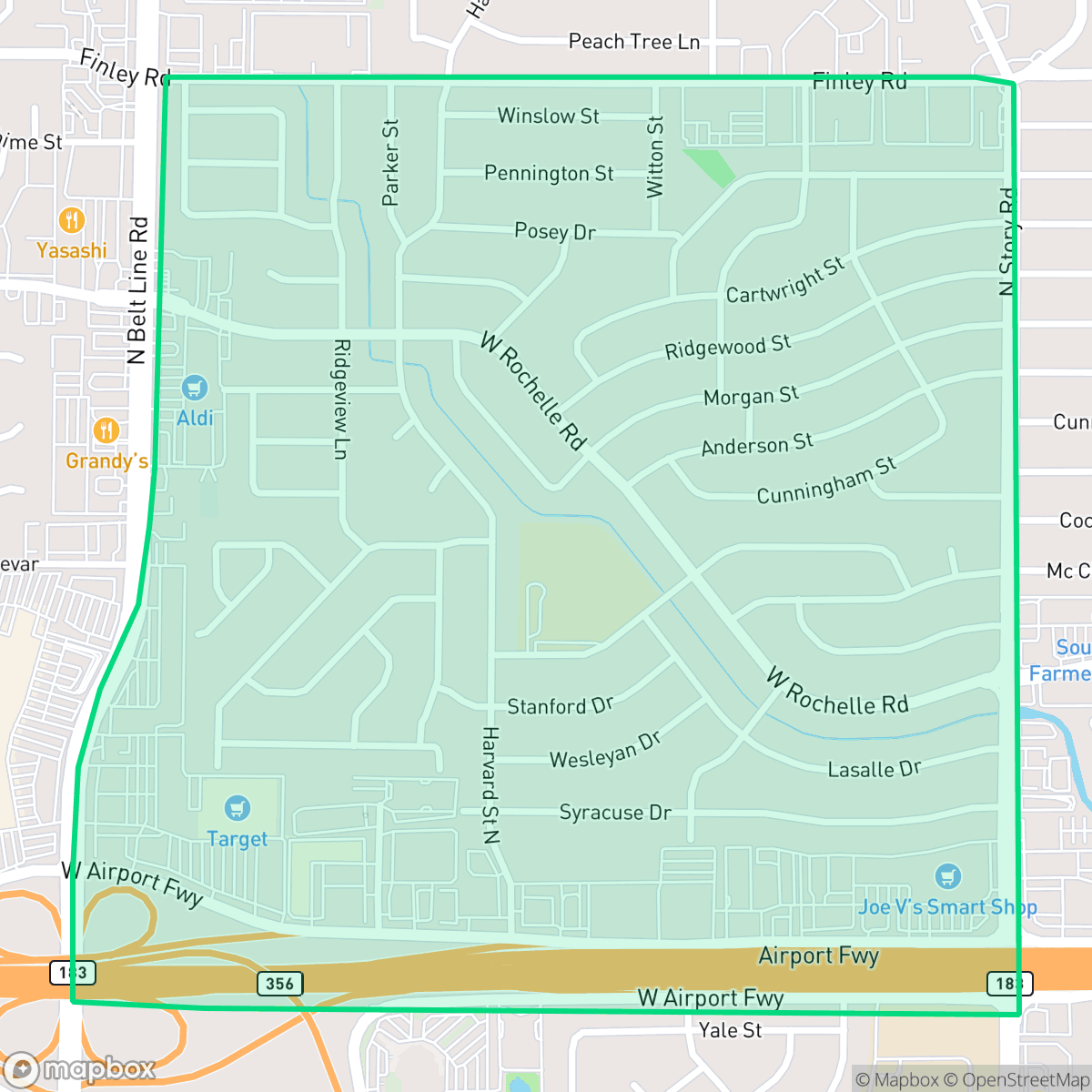
Belt Line, Irving
Updated June 22, 2026 · 5,747 residents
Belt Line is a dense suburban neighborhood in Irving characterized by a mix of single-family homes and apartment complexes located near major thoroughfares. While the area offers a high-energy environment with diverse dining options, it remains a car-dependent community with limited walkability and moderate noise levels from road traffic.
Key Highlights
About Belt Line
Belt Line functions as a high-density suburban hub within Irving, blending residential living with active commercial corridors. The area is defined by its proximity to major highways, which supports a lively atmosphere featuring various restaurants and light commercial services. Residents have access to diverse dining options, including local favorites like Everest Indian Himalayan Restaurant and Mr. Max Izakaya, though the layout is primarily designed for vehicle travel rather than pedestrians.
Living in this neighborhood involves specific trade-offs, particularly regarding privacy and infrastructure. The housing stock consists of closely spaced tract homes and apartment units, which creates a dense living environment. While the area provides convenient access to local services, prospective residents should note the limited public green space for pets and the necessity of a vehicle for daily errands. The neighborhood is served by the Irving Independent School District, which offers specialized vocational pipelines despite varying performance metrics across its individual campuses.
Neighborhood Scores Across 15 Qualities
Residential spacing varies from tightly packed apartment clusters to houses with small buffers between neighbors. This level of density is slightly higher than the Irving average, meaning shared walls and close proximity to neighbors are common in certain sections of the neighborhood.
Quiet residential streets allow for safe walking, but high speed arterials and large parking lots make the area less pedestrian friendly than the Irving average. While some residential roads feature established sidewalk networks, these paths can be narrow and close to the curb.
Standard tract housing and multi-family developments create a highly consistent visual landscape. This neighborhood features slightly lower visual variety than the average for Irving.
Walking opportunities for pets are restricted due to narrow street verges and a lack of immediate public parks in certain sections. While some areas offer access to creek buffers and sports fields, overall accessibility to open green space is below the Irving average.
Residential patterns here vary between dense apartment complexes and traditional single-family housing. This landscape is slightly more developed than the typical terrain found across Irving.
Varied dining options and local social hubs provide a level of activity that is higher than the Irving average. While several pockets offer a steady rhythm of life, much of the area remains car dependent due to the layout of industrial and highway-adjacent blocks.
Local traffic from nearby busy streets creates a consistent level of ambient noise. This acoustic environment is slightly higher than the average for Irving.
Air quality in this area fluctuates between acceptable and unhealthy levels on certain days. According to iHuus data, the air quality is roughly in line with the average for Irving.
Industrial exposure is minimal for most residents, as the area consists primarily of residential and light commercial zones. While some sections near major highway interchanges contain large logistics warehouses, the overall proximity to heavy industry is roughly in line with the Irving average.
Health insurance access is significantly lower than the Irving average, according to iHuus data. Residents may face challenges accessing employer-sponsored or private medical coverage within this area.
Political leanings in this area lean towards liberal values, mirroring the general trend found across Irving.
Residents live alongside a balanced mix of young adults, families, and older populations. This demographic distribution is consistent with the broader Irving area, according to iHuus data.
Significant flood hazards exist here, including risks associated with wave action. According to iHuus data, these conditions are much more severe than the average found throughout Irving.
Block-Level Insights for Belt Line

iHuus Neighborhood Intelligence Insights
Get block-level neighborhood insights for Belt Line
- Street-level scores — see how individual blocks compare, not just neighborhood averages
- Micro-zone boundaries — identify quiet pockets, flood boundaries, and walkable clusters before you visit
- 15 dimensions in full — walkability, noise, air quality, school quality, insurance coverage, population age profile, urban/rural index, and more
- Boundary risk alerts — know if your address sits near a block boundary where scores drop, the kind of detail no listing will ever mention
- School insights — individual school ratings and insights, not just district-level data
- Compare before you commit — side-by-side data across neighborhoods, down to block precision
No credit card required
Compare with Any Neighborhood
| Dimension | Belt Line | Bear Creek |
|---|---|---|
| 🚶 Walkabilityavg 7.64 | ||
| 🔊 Acoustic Comfortavg 4.08 | ||
| 🤫 Privacy Indexavg 5.22 | ||
| 🎨 Visual Appealavg 6.37 | ||
| 🐕 Dog Friendlinessavg 6.65 | ||
| 🗺️ Urban-Rural Indexavg 6.69 | ||
| ✨ Neighborhood Vibeavg 4.62 | ||
| 🏥 Health Insurance Coverageavg 5.16 | ||
| 🌿 Air Qualityavg 4.08 | ||
| 🏭 Industrial Proximityavg 7.88 | ||
| 🌊 Flood Safetyavg 3.48 | ||
| 🗳️ Ideological Leanavg 6.48 | ||
| 👥 Population Age Profileavg 4.39 | ||
| 🔥 Fire Safety | ||
| 🏫 School Quality |
Belt Line Rankings
School Districts Serving Belt Line
Irving ISD is a stable, mid-tier district characterized by exceptional career and technical education (CTE) and specialized academies, balanced against inconsistent performance in its neighborhood elementary and middle schools. The district demonstrates strong operational health with successful bond management, competitive teacher recruitment strategies, and high community trust in its extracurricular and vocational pipelines. While ground truth data highlights a significant number of campuses with lower proficiency ratings, recent mid-2026 reporting shows measurable gains in early literacy and a proactive board focused on closing achievement gaps. It remains a 'mixed' environment where outcomes vary significantly by campus, but the organizational trajectory is bolstered by financial discipline and specialized academic success.
Schools
School Insights for Belt Line
Below average outcomes; significant attendance and academic challenges.
School Insights
See what's really behind every school rating near Belt Line
- Individual school ratings — each school's own score with outcome context, not just a district average
- Enrollment & class size data — student-to-teacher ratio and how it compares to the state average
- Full demographics breakdown — ethnicity and gender composition for every school in the enrollment zone
- Every school in the district — all schools within the enrollment boundary ranked by rating, not just the closest one
- Grade levels & benchmarks — elementary through high school, with below/above state-average flags
No credit card required