Abilene Neighborhood Intelligence Index
Updated June 22, 2026 · 18 neighborhoods measured
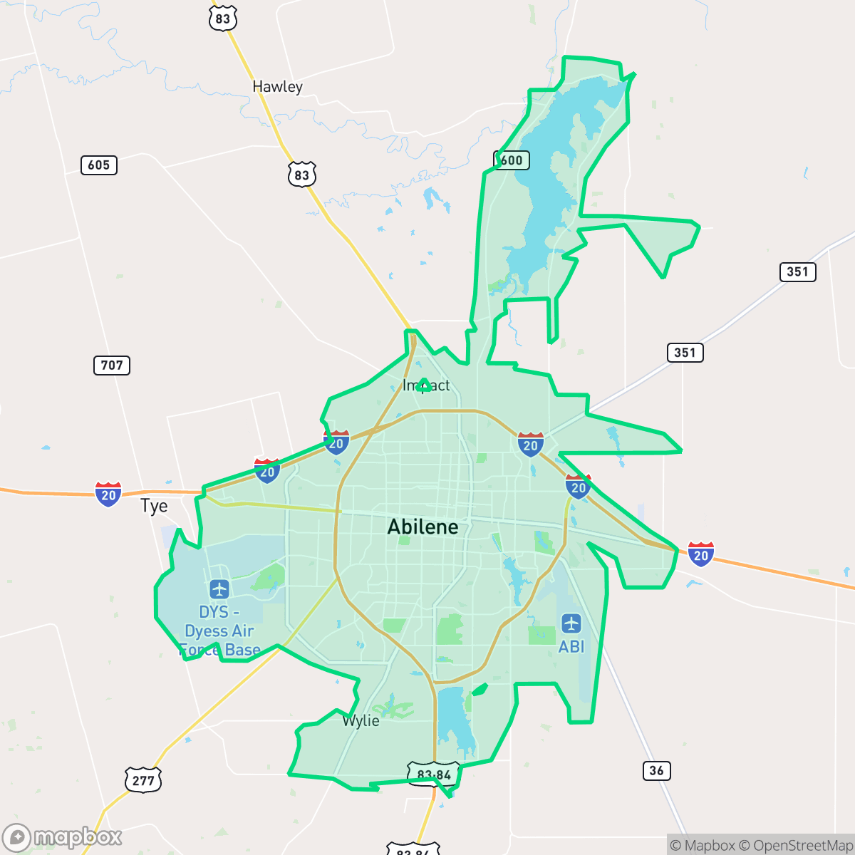
Established as a railway town in 1881, Abilene, Texas, has evolved into a prominent West Texas hub recognized as the "Storybook Capital of America" and home to Dyess Air Force Base. While the city offers residential areas with excellent separation from industrial zones, it faces significant environmental challenges, including severely compromised air quality and a high vulnerability to flooding. Additionally, residents experience relatively high ambient noise levels, though the community maintains a moderate level of walkability. This deeply conservative city is best suited for families, military personnel, and university students seeking a traditional, slow-paced West Texas lifestyle.
Explore Abilene by Neighborhood
Abilene Quality Scores
See how neighborhoods in Abilene compare on dog friendliness. Rankings are based on measured data aggregated across each neighborhood boundary.
See how neighborhoods in Abilene compare on flood safety. Rankings are based on measured data aggregated across each neighborhood boundary.
See how neighborhoods in Abilene compare on ideological lean. Rankings are based on measured data aggregated across each neighborhood boundary.
See how neighborhoods in Abilene compare on industrial proximity. Rankings are based on measured data aggregated across each neighborhood boundary.
See how neighborhoods in Abilene compare on health insurance coverage. Rankings are based on measured data aggregated across each neighborhood boundary.
See how neighborhoods in Abilene compare on acoustic comfort. Rankings are based on measured data aggregated across each neighborhood boundary.
See how neighborhoods in Abilene compare on population age profile. Rankings are based on measured data aggregated across each neighborhood boundary.
See how neighborhoods in Abilene compare on urban-rural index. Rankings are based on measured data aggregated across each neighborhood boundary.
See how neighborhoods in Abilene compare on liveliness and vibe. Rankings are based on measured data aggregated across each neighborhood boundary.
See how neighborhoods in Abilene compare on visual appeal. Rankings are based on measured data aggregated across each neighborhood boundary.
See how neighborhoods in Abilene compare on walkability. Rankings are based on measured data aggregated across each neighborhood boundary.
See how neighborhoods in Abilene compare on privacy index. Rankings are based on measured data aggregated across each neighborhood boundary.
Abilene Neighborhood Rankings

iHuus Neighborhood Intelligence Insights
Get block-level neighborhood insights for Abilene
- Street-level scores — see how individual blocks compare, not just neighborhood averages
- Micro-zone boundaries — identify quiet pockets, flood boundaries, and walkable clusters before you visit
- 15 dimensions in full — walkability, noise, air quality, school quality, insurance coverage, population age profile, urban/rural index, and more
- Boundary risk alerts — know if your address sits near a block boundary where scores drop, the kind of detail no listing will ever mention
- School insights — individual school ratings and insights, not just district-level data
- Compare before you commit — side-by-side data across neighborhoods, down to block precision
No credit card required