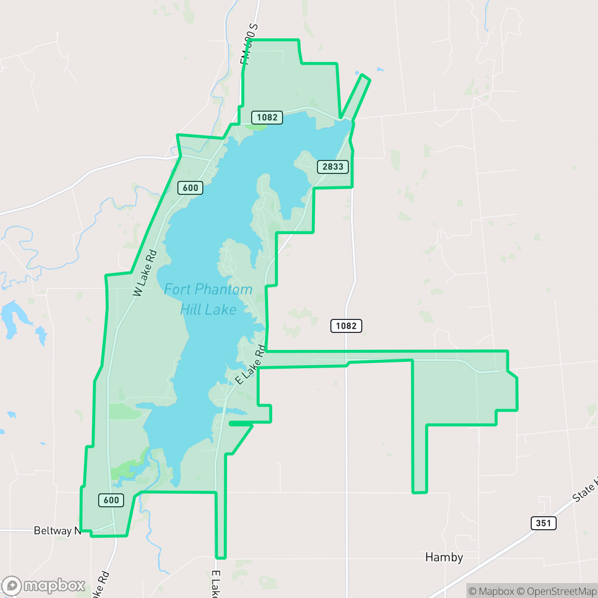
Fort Phantom, Abilene
Updated June 22, 2026 · 4,673 residents
Fort Phantom is a remote, rural area defined by its vast open fields and institutional presence near the reservoir. The neighborhood offers extreme privacy and a quiet atmosphere, though it lacks walkability, local amenities, and public infrastructure for residents.
Key Highlights
About Fort Phantom
The Fort Phantom neighborhood in northern Abilene, Texas, is defined by its deep frontier history and its relationship to Lake Fort Phantom Hill. The area takes its name from Fort Phantom Hill, established in 1851 as a U.S. Army outpost to protect westward-bound pioneers. Though abandoned in 1854 and subsequently burned, a brief boomtown emerged around the ruins, serving as the Jones County seat in 1881 before declining when bypassed by the railroad. The modern neighborhood developed following the 1938 completion of the Lake Fort Phantom Hill reservoir, which transformed the arid landscape into a recreational hub. Today, the neighborhood is characterized by lakeside parks like Johnson Park and Sea Bee Park, alongside the historic fort ruins, which feature iconic standing stone chimneys, a guardhouse, and a commissary.
The neighborhood is characterized by a predominantly rural landscape of large agricultural tracts and sparse development. It functions more as a government and utility-focused zone than a traditional residential community, with institutional complexes and storage facilities dotting the landscape. Its proximity to the reservoir provides a serene, isolated environment that remains far removed from the bustle of urban life. The area is defined by its quiet, open spaces and a lack of dense commercial or residential development.
Residents in this region prioritize seclusion over convenience, as the area is entirely dependent on personal vehicles for transportation. The absence of sidewalks, the presence of significant security infrastructure, and the lack of local services make it unsuited for those seeking a walkable or vibrant community. Families in the region typically look toward the Clyde or Hawley school districts for education, while those considering the area should be aware of the limited local amenities and the necessity of self-reliance in this quiet, open environment.
Neighborhood Scores Across 15 Qualities
Significant distances between structures and expansive open fields create an exceptionally private environment. This level of isolation from neighboring buildings is much higher than the average for Abilene.
Pedestrian travel is highly restricted due to a lack of sidewalks and significant vehicle traffic. This area is notably less walkable than the Abilene average, often forcing pedestrians onto road shoulders.
Visual interest is minimal due to a high density of small yards and utilitarian government architecture. This area lacks the greenery and amenities found in much of Abilene, according to iHuus data.
Sparse greenery and narrow verges make for few natural walking areas; furthermore, certain portions of the neighborhood contain high-security institutional grounds that prohibit public access.
Extensive agricultural fields and vast open spaces define this area, which is significantly more rural than the Abilene average. According to iHuus data, the landscape consists of sparse, isolated structures and minimal building density.
Primarily residential and rural in character, this area offers a serene environment with very few local businesses or amenities. According to iHuus data, the neighborhood lacks the commercial density and lively atmosphere found in much of Abilene.
Continuous noise from a nearby airport runway and heavy rail lines creates significant acoustic disruption. This level of sound exposure is substantially higher than the average for Abilene.
Industrial activity is limited to occasional light commercial uses and utility staging areas, making this area quieter than the Abilene average. Most of the landscape consists of residential streets, agricultural fields, and open green spaces.
Health insurance access is significantly lower here than the Abilene average, according to iHuus data. Residents may face challenges accessing employer-sponsored or private medical coverage within the community.
Political leaning in this area is notably lower than the Abilene average, suggesting a lack of strong partisan concentration. According to iHuus data, the neighborhood does not exhibit the distinct ideological shifts seen in other parts of the city.
A balanced mix of young adults, families, and seniors characterizes the area, reflecting a demographic spread that is very similar to the Abilene city average.
Flood risk is significantly higher here than the Abilene average, which may result in elevated or prohibitive insurance costs for residents. According to iHuus data, this area is subject to heightened hazard concerns.
Block-Level Insights for Fort Phantom

iHuus Neighborhood Intelligence Insights
Get block-level neighborhood insights for Fort Phantom
- Street-level scores — see how individual blocks compare, not just neighborhood averages
- Micro-zone boundaries — identify quiet pockets, flood boundaries, and walkable clusters before you visit
- 15 dimensions in full — walkability, noise, air quality, school quality, insurance coverage, population age profile, urban/rural index, and more
- Boundary risk alerts — know if your address sits near a block boundary where scores drop, the kind of detail no listing will ever mention
- School insights — individual school ratings and insights, not just district-level data
- Compare before you commit — side-by-side data across neighborhoods, down to block precision
No credit card required
Compare with Any Neighborhood
| Dimension | Fort Phantom | Abilene Heights |
|---|---|---|
| 🚶 Walkabilityavg 6.03 | ||
| 🔊 Acoustic Comfortavg 3.93 | ||
| 🤫 Privacy Indexavg 6.18 | ||
| 🎨 Visual Appealavg 5.66 | ||
| 🐕 Dog Friendlinessavg 5.58 | ||
| 🗺️ Urban-Rural Indexavg 7.25 | ||
| ✨ Neighborhood Vibeavg 4.1 | ||
| 🏥 Health Insurance Coverageavg 6.05 | ||
| 🌿 Air Quality | ||
| 🏭 Industrial Proximityavg 8.24 | ||
| 🌊 Flood Safetyavg 1.79 | ||
| 🗳️ Ideological Leanavg 0.7 | ||
| 👥 Population Age Profileavg 4.64 | ||
| 🔥 Fire Safety | ||
| 🏫 School Quality |
Fort Phantom Rankings
School Districts Serving Fort Phantom
Clyde CISD is a robust, high-performing district characterized by exceptional high school outcomes and a deeply integrated community culture. With core academic metrics exceeding state averages and a standout 10/10 high school, the district operates with high efficiency and transparency. While some facilities—particularly the junior high—require modernization, the district’s proactive safety upgrades, clean financial audits, and strong vocational programs position it as a stable, 'Blue Chip' caliber organization for its size. The minor performance dip at the middle school level and slightly limited STEM electives are the only factors preventing a perfect score.
Schools
Hawley Independent School District is a stable, community-centric organization characterized by exceptional graduation rates, strong vocational programs, and high levels of local trust. While ground truth data indicates a performance disparity between the high-achieving secondary campus (8/10) and the struggling elementary level (2/10), the district's operational health is robust, marked by proactive safety compliance and successful investments in Career and Technical Education (CTE). With a favorable 13:1 student-teacher ratio and a 'family feel' that drives teacher accessibility, the district serves as a reliable 'Solid/Stable' choice for families seeking a secure, small-town environment focused on both academic fundamentals and real-world workforce preparation.
Schools
Abilene Independent School District is a stable but fiscally challenged organization currently undergoing significant 'right-sizing' due to budget deficits and inflation. The district's strength lies in its high-tier vocational and STEM programs (ATEMS and The LIFT) and strong community support for fine arts and athletics, which serve as major pride points. However, the organization is hindered by a stark academic divide, where high school excellence is offset by struggling middle schools and underperforming elementary campuses (as low as 2/10). While the district has successfully addressed security mandates and maintains high student spirit, the combination of looming campus consolidations, teacher burnout, and literacy gaps positions AISD as a middle-of-the-road district in a period of necessary but difficult transition.
Schools
School Insights for Fort Phantom
Below average outcomes; significant attendance and academic challenges.
School Insights
See what's really behind every school rating near Fort Phantom
- Individual school ratings — each school's own score with outcome context, not just a district average
- Enrollment & class size data — student-to-teacher ratio and how it compares to the state average
- Full demographics breakdown — ethnicity and gender composition for every school in the enrollment zone
- Every school in the district — all schools within the enrollment boundary ranked by rating, not just the closest one
- Grade levels & benchmarks — elementary through high school, with below/above state-average flags
No credit card required