Corona Neighborhood Intelligence Index
Updated June 22, 2026 · 8 neighborhoods measured
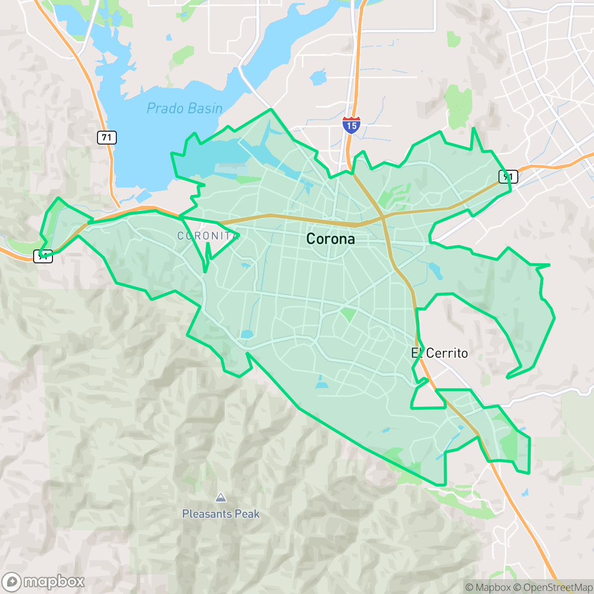
Known as the "Circle City" due to its unique circular street layout centered on Grand Boulevard, Corona, California, is situated at the gateway to the Inland Empire, bordered by the Santa Ana Mountains. Most neighborhoods are highly walkable, and the city boasts excellent air quality. However, environmental safety is a notable concern, as the area faces severe risks from both wildfires and flooding. This suburban city is best suited for active families and commuters seeking a well-connected lifestyle with easy access to outdoor recreation.
Explore Corona by Neighborhood
Corona Quality Scores
See how neighborhoods in Corona compare on flood safety. Rankings are based on measured data aggregated across each neighborhood boundary.
See how neighborhoods in Corona compare on ideological lean. Rankings are based on measured data aggregated across each neighborhood boundary.
See how neighborhoods in Corona compare on industrial proximity. Rankings are based on measured data aggregated across each neighborhood boundary.
See how neighborhoods in Corona compare on acoustic comfort. Rankings are based on measured data aggregated across each neighborhood boundary.
See how neighborhoods in Corona compare on population age profile. Rankings are based on measured data aggregated across each neighborhood boundary.
See how neighborhoods in Corona compare on urban-rural index. Rankings are based on measured data aggregated across each neighborhood boundary.
See how neighborhoods in Corona compare on liveliness and vibe. Rankings are based on measured data aggregated across each neighborhood boundary.
See how neighborhoods in Corona compare on visual appeal. Rankings are based on measured data aggregated across each neighborhood boundary.
See how neighborhoods in Corona compare on walkability. Rankings are based on measured data aggregated across each neighborhood boundary.
See how neighborhoods in Corona compare on privacy index. Rankings are based on measured data aggregated across each neighborhood boundary.
See how neighborhoods in Corona compare on dog friendliness. Rankings are based on measured data aggregated across each neighborhood boundary.
See how neighborhoods in Corona compare on air quality. Rankings are based on measured data aggregated across each neighborhood boundary.
See how neighborhoods in Corona compare on health insurance coverage. Rankings are based on measured data aggregated across each neighborhood boundary.
See how neighborhoods in Corona compare on fire safety. Rankings are based on measured data aggregated across each neighborhood boundary.
Corona Neighborhood Rankings

iHuus Neighborhood Intelligence Insights
Get block-level neighborhood insights for Corona
- Street-level scores — see how individual blocks compare, not just neighborhood averages
- Micro-zone boundaries — identify quiet pockets, flood boundaries, and walkable clusters before you visit
- 15 dimensions in full — walkability, noise, air quality, school quality, insurance coverage, population age profile, urban/rural index, and more
- Boundary risk alerts — know if your address sits near a block boundary where scores drop, the kind of detail no listing will ever mention
- School insights — individual school ratings and insights, not just district-level data
- Compare before you commit — side-by-side data across neighborhoods, down to block precision
No credit card required