Southwest Annex, Richmond
Updated June 22, 2026 · 2,074 residents
Southwest Annex is a residential community in Richmond characterized by its convenient access to regional transit and proximity to the San Francisco Bay shoreline. While the neighborhood offers a strong sense of community and excellent air quality, residents experience significant noise from nearby road traffic and industrial activity.
Key Highlights
About Southwest Annex
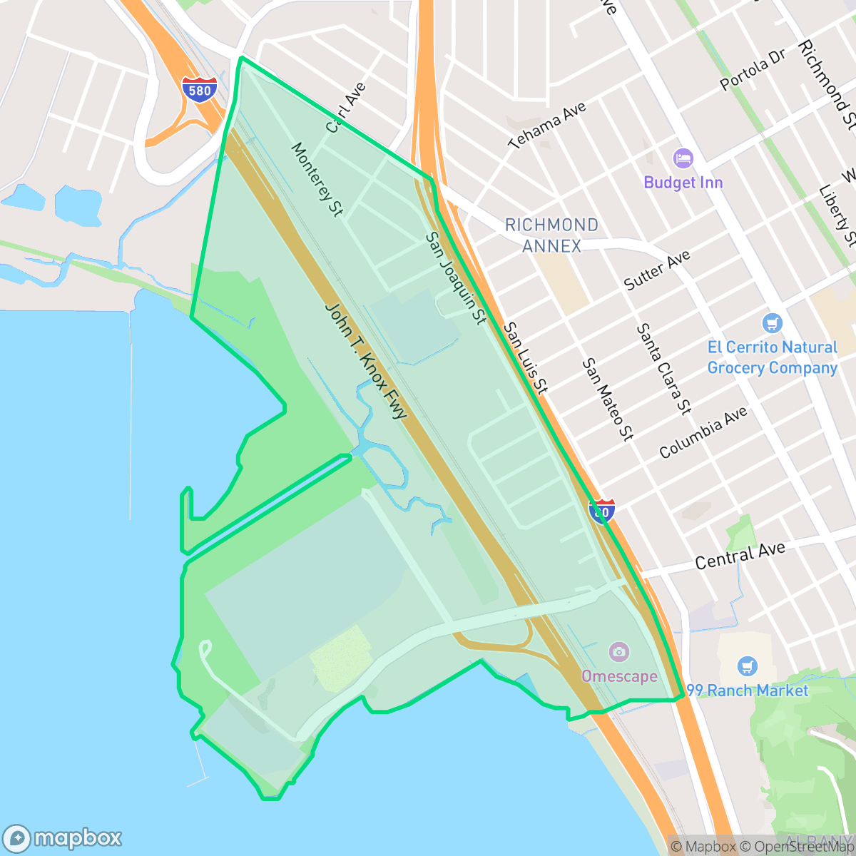
The Southwest Annex (or Southwest Richmond Annex) in Richmond, California, was originally part of farmland cultivated by the Conlon Brothers and owned by William Meyer in the late 19th century. The area officially became part of Richmond on September 26, 1926, following a razor-thin 13–12 vote choosing annexation by Richmond over neighboring El Cerrito. Situated west of Interstate 80, the neighborhood experienced a residential construction boom in the 1940s to house workers for the nearby Kaiser Shipyards. A vital local landmark and piece of infrastructure is the Sacramento Street pedestrian overcrossing, which spans the I-80 freeway to connect Southwest Annex students and residents directly to their designated schools and community services in El Cerrito.
Southwest Annex is a primarily residential neighborhood featuring a dense grid of homes situated near major transportation corridors and logistics hubs. Its location provides residents with straightforward access to regional transit, including BART and major freeways, making it a practical base for commuters working throughout the East Bay. The area is defined by its functional, steady character, with nearby access to the Point Isabel Regional Shoreline offering residents opportunities for outdoor recreation and bay-front views despite the industrial nature of the surrounding landscape.
Neighborhood Scores Across 15 Qualities
Residential properties are situated in close proximity with minimal separation between structures; according to iHuus data, this level of density is slightly higher than the Richmond average.
A dense sidewalk grid and paved park paths facilitate easy movement, though the area is slightly less walkable than the Richmond average. Safe crossings are available throughout the residential sections.
Standard tract housing and mid-sized apartment complexes define the area, which features a more utilitarian aesthetic than the Richmond average. Property landscapes consist primarily of boxy rooflines and modest, tidy yards.
Abundant space for pets is available due to a large central forest park with visible trails. According to iHuus data, the area offers more connected green spaces and safer paths than the Richmond average.
Residential clusters transition into large industrial zones and coastal wetlands. This area features a blend of suburban housing and significant open space, remaining largely in line with the Richmond average.
A suburban landscape dominated by warehouses and green spaces offers a calm setting, though local social and leisure amenities are less frequent than the Richmond average. While some dining options exist near major roads, many areas lack walkable commercial destinations.
Persistent auditory disturbances characterize this area, with noise levels significantly higher than the Richmond average according to iHuus data.
Air quality remains consistently high with minimal health concerns. This level of cleanliness is notably better than the Richmond average, according to iHuus data.
Significant logistics hubs and large warehouses are adjacent to residential areas, resulting in higher levels of traffic and noise than the Richmond average. According to iHuus data, residents may also experience proximity to industrial sites undergoing ongoing environmental monitoring.
Health insurance access among residents is slightly lower than the Richmond average, according to iHuus data.
Voting patterns and census indicators show a deeply liberal political leaning that aligns with the overall trend seen across Richmond.
Residents live alongside a balanced mix of young adults, families, and seniors. This demographic spread is slightly more varied than the typical profile found across Richmond.
Significant flood risk exists here due to the neighborhood's location within a designated floodplain; according to iHuus data, this risk is higher than the average for Richmond.
Block-Level Insights for Southwest Annex

iHuus Neighborhood Intelligence Insights
Get block-level neighborhood insights for Southwest Annex
- Street-level scores — see how individual blocks compare, not just neighborhood averages
- Micro-zone boundaries — identify quiet pockets, flood boundaries, and walkable clusters before you visit
- 15 dimensions in full — walkability, noise, air quality, school quality, insurance coverage, population age profile, urban/rural index, and more
- Boundary risk alerts — know if your address sits near a block boundary where scores drop, the kind of detail no listing will ever mention
- School insights — individual school ratings and insights, not just district-level data
- Compare before you commit — side-by-side data across neighborhoods, down to block precision
No credit card required
Compare with Any Neighborhood
| Dimension | Southwest Annex | Atchison Village |
|---|---|---|
| 🚶 Walkabilityavg 8.38 | ||
| 🔊 Acoustic Comfortavg 2.96 | ||
| 🤫 Privacy Indexavg 4.19 | ||
| 🎨 Visual Appealavg 5.97 | ||
| 🐕 Dog Friendlinessavg 6.4 | ||
| 🗺️ Urban-Rural Indexavg 6.62 | ||
| ✨ Neighborhood Vibeavg 4.2 | ||
| 🏥 Health Insurance Coverageavg 7.31 | ||
| 🌿 Air Qualityavg 8.35 | ||
| 🏭 Industrial Proximityavg 7.37 | ||
| 🌊 Flood Safetyavg 2.2 | ||
| 🗳️ Ideological Leanavg 9.87 | ||
| 👥 Population Age Profileavg 4.89 | ||
| 🔥 Fire Safetyavg 0.24 | ||
| 🏫 School Quality |
Southwest Annex Rankings
School Districts Serving Southwest Annex
Albany City Unified School District is a premier educational system characterized by exceptional academic results, stable labor relations, and strong community support. With high schools and middle schools scoring 10/10 and elementary schools following closely, the district maintains a robust feeder system into its flagship high school. Although the district faces moderate financial headwinds related to deficit spending and lean reserves, its ability to pass local bonds and maintain a three-year teacher contract indicates high institutional stability. The district successfully balances its reputation for academic rigor with a growing focus on student mental health and inclusivity, cementing its status as a top-tier California district.
Schools
West Contra Costa Unified is currently a distressed district characterized by a severe academic divide and significant financial instability. While a few schools in affluent areas maintain 10/10 ratings and high community engagement, the district's overall portfolio is dominated by underperforming schools, with a substantial portion of elementary and middle schools scoring 1/10 or 2/10. Recent reports of a multi-million dollar structural deficit, teacher strikes, and safety incidents at secondary campuses highlight a system under intense pressure. Despite strong career technical education pathways and a commitment to diversity, the district’s struggle to maintain fiscal solvency and close persistent achievement gaps suggests a fragile operational environment.
Schools
School Insights for Southwest Annex
Below average outcomes; significant attendance and academic challenges.
School Insights
See what's really behind every school rating near Southwest Annex
- Individual school ratings — each school's own score with outcome context, not just a district average
- Enrollment & class size data — student-to-teacher ratio and how it compares to the state average
- Full demographics breakdown — ethnicity and gender composition for every school in the enrollment zone
- Every school in the district — all schools within the enrollment boundary ranked by rating, not just the closest one
- Grade levels & benchmarks — elementary through high school, with below/above state-average flags
No credit card required