Shields-Reid, Richmond
Updated June 22, 2026 · 956 residents
Shields-Reid is a dense, industrial-adjacent neighborhood in North Richmond characterized by a highly walkable street grid and proximity to regional rail infrastructure. While the area offers consistent sidewalk access throughout its residential blocks, residents experience regular noise from nearby train activity and limited private outdoor space due to high housing density.
Key Highlights
About Shields-Reid
Located in North Richmond, California, the Shields-Reid neighborhood developed rapidly during World War II to house Black shipbuilders and industrial workers migrating from the South and Midwest. Relegated to this area due to segregation, residents forged a vibrant community that became a major hub for West Coast blues, anchored by local venues like Minnie Lue’s. The neighborhood's cultural heart is Shields-Reid Park (originally Shields Park) and its community center, built with support from the federal Model Cities Program. The park was renamed to honor Charles "Charlie" R. Reid, a former Negro League baseball pitcher who became the park’s recreation director in 1947. Reid launched the historic Richmond Twilight Basketball League and a beloved annual holiday charity drive that continues to define the neighborhood's tight-knit community spirit.
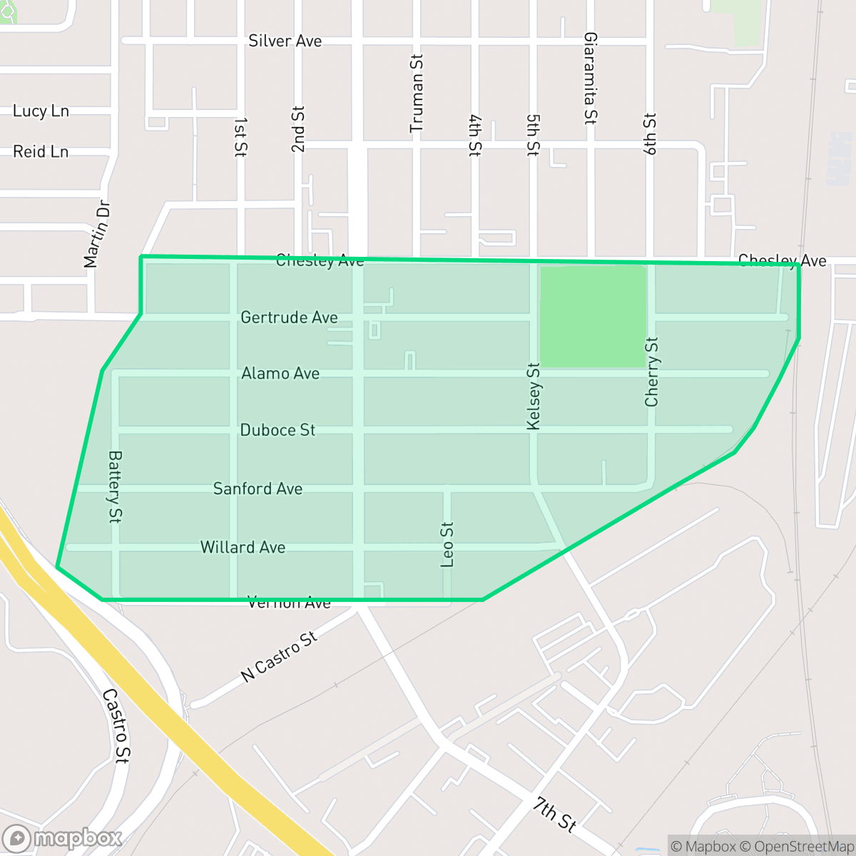
The neighborhood functions as a compact residential pocket defined by its proximity to regional logistics hubs and active rail lines. Its layout consists of a dense grid of low-rise homes, creating a setting where basic daily navigation is exceptionally easy for pedestrians. The area maintains a quiet, industrial-suburb atmosphere, with the North Richmond Missionary Baptist Church serving as a primary local landmark that anchors the community grid.
Living in this area involves specific trade-offs, particularly regarding acoustic comfort and privacy, as homes are situated close together with minimal yard space. According to iHuus data, the proximity to rail yards and heavy logistics traffic results in elevated noise levels, which prospective residents should consider. Additionally, the neighborhood is served by the West Contra Costa Unified School District, which currently faces significant fiscal and academic challenges. This area is best suited for those who prioritize high walkability and proximity to industrial employment centers over expansive private outdoor living.
Neighborhood Scores Across 15 Qualities
Residential lots feature a high-density grid with houses positioned near shared property lines. This level of proximity to neighbors is roughly consistent with the average across Richmond.
Sidewalks are available on residential streets and major intersections, though heavy industrial traffic nearby can impact pedestrian safety. This level of walkability is lower than the Richmond city average.
Uniform tract housing and high building density define the area's visual character. This landscape is notably less varied than the Richmond average, consisting primarily of modest homes and mobile home parks.
Narrow sidewalks and a lack of accessible public parks make it difficult to find walking routes for pets. Most green space in this area is enclosed within private residential fences, making it less dog friendly than much of Richmond.
Industrial infrastructure and large-scale warehousing sit directly alongside residential grids, creating a landscape that is comparable to the broader Richmond area. This blend of dense urban blocks and utility zones results in a setting that lacks significant open greenery.
Limited commercial activity and a high concentration of warehouses and industrial zones result in a much more subdued atmosphere than the Richmond average. Most areas are primarily residential or industrial, making the neighborhood feel remote and car-dependent according to iHuus data.
Frequent auditory disturbances occur due to the proximity of nearby railroad tracks and busy freeway traffic. According to iHuus data, acoustic comfort in this area is slightly lower than the Richmond average.
Air quality remains mostly clean with infrequent periods of elevated readings, performing slightly below the Richmond average according to iHuus data.
Large-scale logistics hubs, rail yards, and heavy warehouses are prevalent throughout the area. According to iHuus data, this concentration of industrial activity and freight transit is significantly higher than the Richmond average.
Health insurance coverage among residents is relatively high, though it remains slightly below the Richmond city average according to iHuus data.
Voting patterns and census indicators reflect a deeply liberal political landscape that aligns with the broader Richmond area. According to iHuus data, the community shares the same prominent ideological lean as the rest of the city.
Residents live alongside a balanced mix of young adults, families, and seniors. This age distribution is slightly lower than the Richmond average, according to iHuus data.
Coastal hazards and wave action present a significant flood risk in this area, which is notably higher than the Richmond average. Residents should anticipate elevated or potentially prohibitive flood insurance costs according to iHuus data.
Block-Level Insights for Shields-Reid

iHuus Neighborhood Intelligence Insights
Get block-level neighborhood insights for Shields-Reid
- Street-level scores — see how individual blocks compare, not just neighborhood averages
- Micro-zone boundaries — identify quiet pockets, flood boundaries, and walkable clusters before you visit
- 15 dimensions in full — walkability, noise, air quality, school quality, insurance coverage, population age profile, urban/rural index, and more
- Boundary risk alerts — know if your address sits near a block boundary where scores drop, the kind of detail no listing will ever mention
- School insights — individual school ratings and insights, not just district-level data
- Compare before you commit — side-by-side data across neighborhoods, down to block precision
No credit card required
Compare with Any Neighborhood
| Dimension | Shields-Reid | Atchison Village |
|---|---|---|
| 🚶 Walkabilityavg 8.38 | ||
| 🔊 Acoustic Comfortavg 2.96 | ||
| 🤫 Privacy Indexavg 4.19 | ||
| 🎨 Visual Appealavg 5.97 | ||
| 🐕 Dog Friendlinessavg 6.4 | ||
| 🗺️ Urban-Rural Indexavg 6.62 | ||
| ✨ Neighborhood Vibeavg 4.2 | ||
| 🏥 Health Insurance Coverageavg 7.31 | ||
| 🌿 Air Qualityavg 8.35 | ||
| 🏭 Industrial Proximityavg 7.37 | ||
| 🌊 Flood Safetyavg 2.2 | ||
| 🗳️ Ideological Leanavg 9.87 | ||
| 👥 Population Age Profileavg 4.89 | ||
| 🔥 Fire Safetyavg 0.24 | ||
| 🏫 School Quality |
Shields-Reid Rankings
School Districts Serving Shields-Reid
West Contra Costa Unified is currently a distressed district characterized by a severe academic divide and significant financial instability. While a few schools in affluent areas maintain 10/10 ratings and high community engagement, the district's overall portfolio is dominated by underperforming schools, with a substantial portion of elementary and middle schools scoring 1/10 or 2/10. Recent reports of a multi-million dollar structural deficit, teacher strikes, and safety incidents at secondary campuses highlight a system under intense pressure. Despite strong career technical education pathways and a commitment to diversity, the district’s struggle to maintain fiscal solvency and close persistent achievement gaps suggests a fragile operational environment.
Schools
School Insights for Shields-Reid
Below average outcomes; significant attendance and academic challenges.
School Insights
See what's really behind every school rating near Shields-Reid
- Individual school ratings — each school's own score with outcome context, not just a district average
- Enrollment & class size data — student-to-teacher ratio and how it compares to the state average
- Full demographics breakdown — ethnicity and gender composition for every school in the enrollment zone
- Every school in the district — all schools within the enrollment boundary ranked by rating, not just the closest one
- Grade levels & benchmarks — elementary through high school, with below/above state-average flags
No credit card required