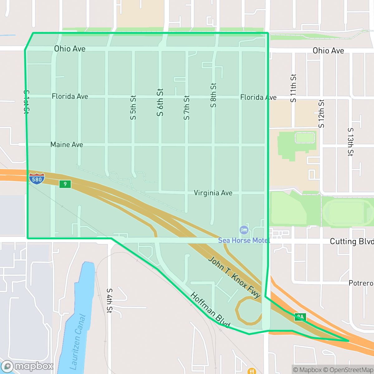
Santa Fe, Richmond
Updated June 22, 2026 · 1,516 residents
Santa Fe is a highly walkable community characterized by a grid of mid-century tract housing and a quiet, industrial-adjacent atmosphere. While the area offers convenient pedestrian access, residents should note the frequent noise from nearby rail and freeway infrastructure alongside elevated flood risks.
Key Highlights
About Santa Fe
The Santa Fe neighborhood in Richmond, California, is deeply tied to the city's industrial origins, specifically the arrival of the Atchison, Topeka and Santa Fe Railroad. In 1899, the railroad established its western terminus in the nearby Point Richmond area, sparking rapid development and regional industrial growth. The neighborhood, often associated with the adjacent Coronado district, experienced significant expansion during the mid-20th century, particularly during the World War II shipbuilding boom when Richmond’s population surged to support the war effort. Today, the area is characterized by a mix of residential housing stock dating primarily from the 1940s to the 1960s. Local community life is centered around the Santa Fe Neighborhood Council, which meets at the Bridge Storage and Arts facility on Maine Avenue, reflecting the area's ongoing evolution as a diverse, urban community.
Santa Fe features a dense, uniform residential landscape that reflects its mid-century development. Its highly walkable grid allows for easy navigation, though the area remains largely quiet with limited local commercial activity. The community maintains a strong liberal political identity and benefits from generally clean air, despite its proximity to heavy industrial zones and a designated environmental site. Prospective residents should weigh the benefits of its central location against notable trade-offs, including high noise levels from transportation corridors and significant flood risks. The area is served by the West Contra Costa Unified School District, which currently faces academic and financial challenges. This neighborhood is best suited for those prioritizing walkability and a modest, utilitarian living environment over luxury amenities or complete acoustic seclusion.
Neighborhood Scores Across 15 Qualities
Residential lots feature close proximity between homes with minimal buffer zones between property lines. This density is notably higher than the Richmond average, according to iHuus data.
Pedestrian travel is easy due to a consistent grid with wide sidewalks and marked crossings. According to iHuus data, the infrastructure in Santa Fe offers superior walkability compared to the Richmond average.
Standard tract housing features small yards and boxy rooflines, presenting a more utilitarian landscape than the Richmond average. According to iHuus data, the area lacks private luxury amenities such as swimming pools.
Access to public parks and large school fields provides reliable walking routes for pets. According to iHuus data, the availability of green verges and park access is slightly below the Richmond city average.
Varying land uses define the area, ranging from dense industrial zones and transportation infrastructure to residential grids. This balance of developed and open space is roughly in line with the Richmond average, according to iHuus data.
Residential streets are primarily quiet and car-oriented, featuring limited local social spots and businesses compared to the Richmond average. According to iHuus data, the area is characterized by suburban blocks and light industrial zones near the highway.
Frequent sounds from nearby railroad tracks and heavy freeway traffic characterize this area. According to iHuus data, acoustic comfort in Santa Fe is slightly below the Richmond city average.
Air quality in this area is generally good with infrequent periods of elevated readings. This level of air quality is slightly lower than the Richmond city average, according to iHuus data.
Heavy industrial activity and freight corridors are much more prevalent here than in the rest of Richmond. Residents should be aware of proximity to large-scale commercial facilities and an EPA Superfund site with documented soil and sediment contamination, according to iHuus data.
Health insurance coverage among residents is high, though it remains slightly below the Richmond city average according to iHuus data.
Voting patterns and census indicators show a predominantly liberal political leaning that aligns with the overall average for Richmond.
Residents live alongside a balanced mix of young adults, families, and older populations. This age distribution is slightly more varied than the average across Richmond.
Frequent flood risks exist due to the neighborhood's location within a designated floodplain; according to iHuus data, this risk is higher than the Richmond average and may necessitate flood insurance.
Block-Level Insights for Santa Fe

iHuus Neighborhood Intelligence Insights
Get block-level neighborhood insights for Santa Fe
- Street-level scores — see how individual blocks compare, not just neighborhood averages
- Micro-zone boundaries — identify quiet pockets, flood boundaries, and walkable clusters before you visit
- 15 dimensions in full — walkability, noise, air quality, school quality, insurance coverage, population age profile, urban/rural index, and more
- Boundary risk alerts — know if your address sits near a block boundary where scores drop, the kind of detail no listing will ever mention
- School insights — individual school ratings and insights, not just district-level data
- Compare before you commit — side-by-side data across neighborhoods, down to block precision
No credit card required
Compare with Any Neighborhood
| Dimension | Santa Fe | Atchison Village |
|---|---|---|
| 🚶 Walkabilityavg 8.38 | ||
| 🔊 Acoustic Comfortavg 2.96 | ||
| 🤫 Privacy Indexavg 4.19 | ||
| 🎨 Visual Appealavg 5.97 | ||
| 🐕 Dog Friendlinessavg 6.4 | ||
| 🗺️ Urban-Rural Indexavg 6.62 | ||
| ✨ Neighborhood Vibeavg 4.2 | ||
| 🏥 Health Insurance Coverageavg 7.31 | ||
| 🌿 Air Qualityavg 8.35 | ||
| 🏭 Industrial Proximityavg 7.37 | ||
| 🌊 Flood Safetyavg 2.2 | ||
| 🗳️ Ideological Leanavg 9.87 | ||
| 👥 Population Age Profileavg 4.89 | ||
| 🔥 Fire Safetyavg 0.24 | ||
| 🏫 School Quality |
Santa Fe Rankings
School Districts Serving Santa Fe
West Contra Costa Unified is currently a distressed district characterized by a severe academic divide and significant financial instability. While a few schools in affluent areas maintain 10/10 ratings and high community engagement, the district's overall portfolio is dominated by underperforming schools, with a substantial portion of elementary and middle schools scoring 1/10 or 2/10. Recent reports of a multi-million dollar structural deficit, teacher strikes, and safety incidents at secondary campuses highlight a system under intense pressure. Despite strong career technical education pathways and a commitment to diversity, the district’s struggle to maintain fiscal solvency and close persistent achievement gaps suggests a fragile operational environment.
Schools
School Insights for Santa Fe
Below average outcomes; significant attendance and academic challenges.
School Insights
See what's really behind every school rating near Santa Fe
- Individual school ratings — each school's own score with outcome context, not just a district average
- Enrollment & class size data — student-to-teacher ratio and how it compares to the state average
- Full demographics breakdown — ethnicity and gender composition for every school in the enrollment zone
- Every school in the district — all schools within the enrollment boundary ranked by rating, not just the closest one
- Grade levels & benchmarks — elementary through high school, with below/above state-average flags
No credit card required