Mount San Antonio, Claremont
Updated June 22, 2026 · 120 residents
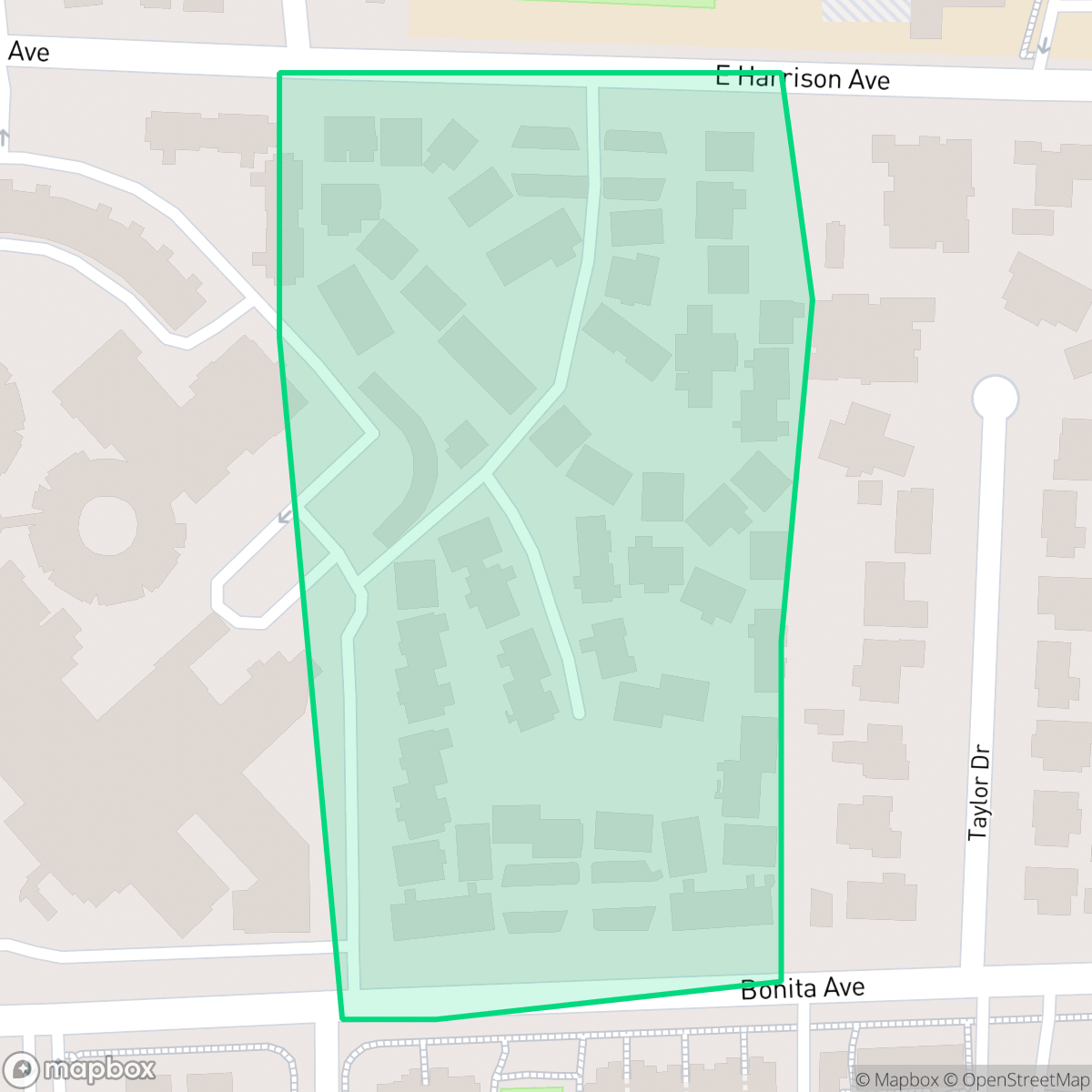
Mount San Antonio is a dense suburban neighborhood in Claremont characterized by a mix of single-family homes and multi-family complexes near the city's industrial corridor. While the area offers a highly walkable street network and excellent air quality, residents should expect significant noise from road traffic and limited access to public green space.
Key Highlights
About Mount San Antonio
Mount San Antonio functions as a utilitarian residential enclave featuring a blend of standard tract housing and larger apartment blocks. Positioned near the central rail corridor, the neighborhood is shaped by its proximity to light industrial zones and warehouses. Its layout prioritizes connectivity, offering a consistent network of sidewalks that facilitates movement throughout the area. The neighborhood maintains a distinct suburban atmosphere, balancing residential needs with the functional demands of its industrial surroundings.
Living in this area involves specific trade-offs, particularly regarding acoustic comfort and environmental safety. The neighborhood experiences elevated noise levels primarily due to consistent road traffic, and it faces notable challenges related to flood and fire risks. While it benefits from high air quality and strong community alignment, it is best suited for those who prioritize transit accessibility and essential services over expansive private yards or quiet, secluded environments.
Neighborhood Scores Across 15 Qualities
Residential spacing varies between detached homes with moderate buffers and denser clusters of multi-unit housing. According to iHuus data, this level of separation is slightly higher than the average for Claremont.
Extensive sidewalk networks are available on both sides of most streets and through residential complexes. Pedestrian movement is supported by safe crossings and a connectivity level that is slightly above the Claremont average.
Residential views consist of a mix of multi-family complexes and standard tract housing. This variety results in a level of visual appeal that is slightly below the Claremont average.
Public green spaces and wide verges are sparse in this area. According to iHuus data, the neighborhood offers fewer accessible parks for dogs compared to the Claremont average.
Open land and scattered homes create a more semi-rural atmosphere than the Claremont average; however, certain pockets contain denser suburban residential and industrial zones according to iHuus data.
Suburban streets and green spaces transition into active districts featuring diverse dining and local coffee shops. This area offers a more active social atmosphere than the typical Claremont neighborhood according to iHuus data.
Frequent disturbances from nearby railroad tracks and freeway traffic characterize the area. According to iHuus data, acoustic comfort in this neighborhood is slightly lower than the Claremont average.
Air quality remains exceptionally clear with minimal pollutants present. Levels of particulate matter are slightly better than the average found throughout Claremont, according to iHuus data.
Large warehouses and industrial yards are situated near the central rail corridor, though the area remains predominantly residential with quiet streets. This concentration of light commercial activity is slightly higher than the average seen throughout Claremont.
Health insurance access is widespread among residents, appearing slightly higher than the average for Claremont. According to iHuus data, the vast majority of the population maintains active coverage.
Voting patterns and census indicators reflect a predominantly liberal political leaning that is more pronounced than the Claremont average, according to iHuus data.
A balanced mix of young adults, families, and older residents defines the local demographic. This age distribution is more varied than the average found across Claremont.
Frequent flooding is a concern in this area as it sits within a designated floodplain. According to iHuus data, the risk level is notably higher than the average for Claremont.
Block-Level Insights for Mount San Antonio

iHuus Neighborhood Intelligence Insights
Get block-level neighborhood insights for Mount San Antonio
- Street-level scores — see how individual blocks compare, not just neighborhood averages
- Micro-zone boundaries — identify quiet pockets, flood boundaries, and walkable clusters before you visit
- 15 dimensions in full — walkability, noise, air quality, school quality, insurance coverage, population age profile, urban/rural index, and more
- Boundary risk alerts — know if your address sits near a block boundary where scores drop, the kind of detail no listing will ever mention
- School insights — individual school ratings and insights, not just district-level data
- Compare before you commit — side-by-side data across neighborhoods, down to block precision
No credit card required
Compare with Any Neighborhood
| Dimension | Mount San Antonio | Arbol Verde |
|---|---|---|
| 🚶 Walkabilityavg 8.6 | ||
| 🔊 Acoustic Comfortavg 2.58 | ||
| 🤫 Privacy Indexavg 5.58 | ||
| 🎨 Visual Appealavg 7.17 | ||
| 🐕 Dog Friendlinessavg 6.82 | ||
| 🗺️ Urban-Rural Indexavg 6.89 | ||
| ✨ Neighborhood Vibeavg 4.64 | ||
| 🏥 Health Insurance Coverageavg 8.37 | ||
| 🌿 Air Qualityavg 9.85 | ||
| 🏭 Industrial Proximityavg 8.67 | ||
| 🌊 Flood Safetyavg 3.81 | ||
| 🗳️ Ideological Leanavg 8.75 | ||
| 👥 Population Age Profileavg 5.03 | ||
| 🔥 Fire Safetyavg 0.41 | ||
| 🏫 School Quality |
Mount San Antonio Rankings
School Districts Serving Mount San Antonio
Claremont Unified School District remains a premier educational entity characterized by high academic achievement, a robust college-preparatory culture, and strong community backing. Ground truth data confirms that its secondary schools are among the top-performing in the region, providing a stable 'destination' for families. While the district faces minor operational hurdles—specifically aging facilities and a performance gap in a few elementary schools—its financial transparency, successful specialized programs like IB and Robotics, and high level of community engagement position it as a solid and stable organization.
Schools
Pomona Unified School District (PUSD) is currently a Tier 3 'Mixed' organization defined by sharp disparities in school-level performance and structural transitions. While it boasts high-performing gems like Diamond Ranch High and Pantera Elementary, a large portion of its campuses suffer from low proficiency scores and declining enrollment. The district is actively attempting to pivot through the expansion of 18 Career Technical Education (CTE) pathways and necessary school consolidations to manage fiscal constraints. Despite historical legal liabilities and safety concerns, the district maintains community trust through successful bond-funded facility improvements and a robust extracurricular culture, keeping it stable but preventing it from reaching a higher performance tier.
Schools
School Insights for Mount San Antonio
Below average outcomes; significant attendance and academic challenges.
School Insights
See what's really behind every school rating near Mount San Antonio
- Individual school ratings — each school's own score with outcome context, not just a district average
- Enrollment & class size data — student-to-teacher ratio and how it compares to the state average
- Full demographics breakdown — ethnicity and gender composition for every school in the enrollment zone
- Every school in the district — all schools within the enrollment boundary ranked by rating, not just the closest one
- Grade levels & benchmarks — elementary through high school, with below/above state-average flags
No credit card required