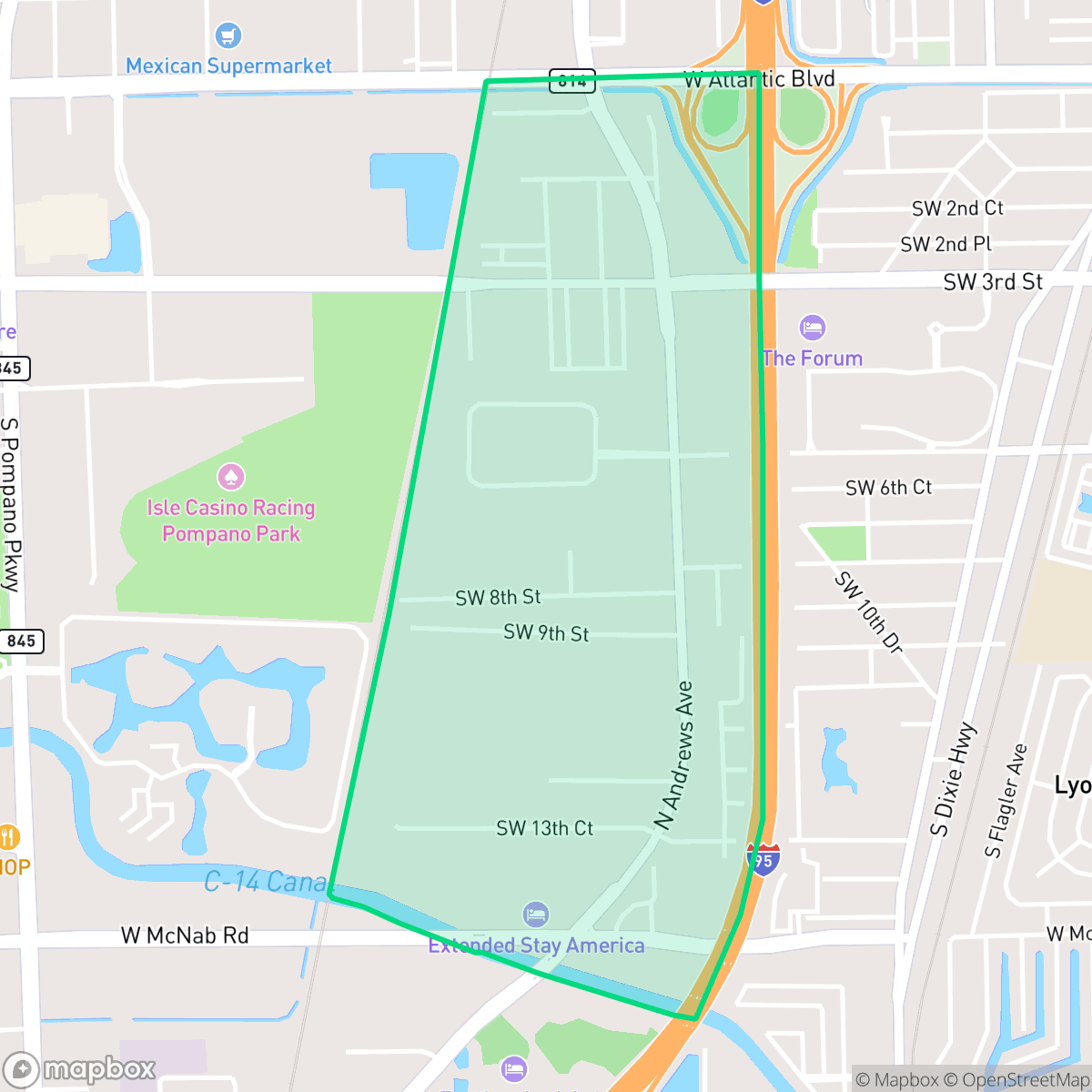
Andrews Industrial District, Pompano Beach
Updated June 22, 2026 · 1,796 residents
The Andrews Industrial District is a functional, mixed-use area defined by its mid-century warehouse architecture and proximity to major transit corridors. While it offers a unique blend of industrial activity and emerging local innovation, residents should expect high noise levels from nearby rail and highway traffic. Pedestrian access is generally limited, making this a better fit for those who prioritize proximity to commerce over traditional walkability.
Key Highlights
About Andrews Industrial District
The Andrews Industrial District in Pompano Beach emerged in the early 1950s as a strategic hub for manufacturing, distribution, and logistics, capitalizing on its proximity to the Florida East Coast Railway and major highway corridors. Named for Andrews Avenue—a key artery honoring early Broward County transportation pioneer John Andrews—the district was intentionally planned to support the city's post-World War II industrial expansion. Throughout the 1950s and 60s, the area became a backbone for local commerce, hosting metalworks, printing shops, and food distributors that supported Pompano’s agricultural and growing residential sectors. Today, the district retains its mid-century industrial character, defined by warehouse architecture, while increasingly integrating adaptive reuse projects, public murals, and small pocket parks that reflect a transition toward a more modern, hybrid landscape of industry and local innovation.
The area functions as a central hub for logistics and light manufacturing, maintaining a utilitarian aesthetic that prioritizes industrial utility over residential amenities. The landscape is characterized by a mix of warehouse facilities and scattered residential blocks, creating a distinct semi-rural feel where open spaces are often bordered by industrial zones. According to iHuus data, the district features a steady rhythm of activity, though it remains a more functional environment compared to the dense residential sectors of Pompano Beach. The neighborhood is currently undergoing a transition, with adaptive reuse projects and public murals beginning to soften its industrial edges.
Prospective residents should be aware of the environmental and logistical trade-offs associated with this location. The neighborhood faces elevated flood risks and persistent noise from freight traffic and major roadways, which can impact daily comfort. Additionally, health insurance coverage is lower than the city average, and the reliance on personal vehicles is high due to significant pedestrian barriers like I-95. The area is best suited for individuals who value the central location and the evolving, adaptive-reuse character of the district over traditional suburban walkability or quietude.
Neighborhood Scores Across 15 Qualities
Residential spacing varies throughout the district, with some apartment clusters and mobile home parks offering very little buffer between neighbors. According to iHuus data, privacy levels are slightly higher than the Pompano Beach average due to a mix of moderately spaced housing and multi-family buildings.
Large industrial blocks and major highways like I-95 create significant barriers for pedestrians. While some streets are quiet, the lack of connected sidewalks makes walking much less convenient than in other parts of Pompano Beach.
Standard tract housing and industrial-adjacent apartment blocks provide a utilitarian landscape with modest yards. This area features slightly less visual variety than the Pompano Beach average, according to iHuus data.
Publicly accessible green space for pets is below the Pompano Beach average, as much of the area's greenery consists of fragmented verges near highways or semi-private residential lawns. While a central public park provides some walking paths and grass fields, industrial fencing and narrow roadside strips limit widespread accessibility for dogs.
Open land and scattered greenery are interspersed with large-scale industrial zones and dense residential blocks. This landscape features more open space than the average area in Pompano Beach, according to iHuus data.
Local activity levels are slightly above the Pompano Beach average, characterized by a functional blend of industrial zones, transit hubs, and independent retail. While some areas feel subdued after dark, others serve as lively hotspots for dining and entertainment.
Persistent noise from nearby railroad tracks and major freeways characterizes the area. According to iHuus data, acoustic comfort in this district is notably lower than the Pompano Beach average.
Air quality levels fluctuate between acceptable and unhealthy days, presenting occasional concerns for sensitive groups. According to iHuus data, these conditions are slightly higher than the Pompano Beach average.
Heavy logistics hubs, railway lines, and warehouse activity create more industrial density than the Pompano Beach average. Residents may experience frequent freight traffic and should be aware of nearby sites under active environmental monitoring according to iHuus data.
Health insurance access is notably lower than the Pompano Beach average. According to iHuus data, a small minority of residents in this area are covered by health insurance plans.
Political leanings in this area trend more liberal than the average resident of Pompano Beach. This ideological tilt is reflected in local community engagement and civic perspectives according to iHuus data.
A diverse range of age groups, including young adults and families, resides here. According to iHuus data, the resident profile is slightly more varied than the average found throughout Pompano Beach.
Frequent flooding risks exist because much of this area sits within the 100-year floodplain; according to iHuus data, this level of vulnerability is higher than the Pompano Beach average.
Block-Level Insights for Andrews Industrial District

iHuus Neighborhood Intelligence Insights
Get block-level neighborhood insights for Andrews Industrial District
- Street-level scores — see how individual blocks compare, not just neighborhood averages
- Micro-zone boundaries — identify quiet pockets, flood boundaries, and walkable clusters before you visit
- 15 dimensions in full — walkability, noise, air quality, school quality, insurance coverage, population age profile, urban/rural index, and more
- Boundary risk alerts — know if your address sits near a block boundary where scores drop, the kind of detail no listing will ever mention
- School insights — individual school ratings and insights, not just district-level data
- Compare before you commit — side-by-side data across neighborhoods, down to block precision
No credit card required
Compare with Any Neighborhood
| Dimension | Andrews Industrial District | Arvida-Pompano Park |
|---|---|---|
| 🚶 Walkabilityavg 6.05 | ||
| 🔊 Acoustic Comfortavg 3.33 | ||
| 🤫 Privacy Indexavg 5.28 | ||
| 🎨 Visual Appealavg 6.23 | ||
| 🐕 Dog Friendlinessavg 4.87 | ||
| 🗺️ Urban-Rural Indexavg 6.07 | ||
| ✨ Neighborhood Vibeavg 3.88 | ||
| 🏥 Health Insurance Coverageavg 4.55 | ||
| 🌿 Air Qualityavg 5.68 | ||
| 🏭 Industrial Proximityavg 5.66 | ||
| 🌊 Flood Safetyavg 4.23 | ||
| 🗳️ Ideological Leanavg 5.55 | ||
| 👥 Population Age Profileavg 4.99 | ||
| 🔥 Fire Safety | ||
| 🏫 School Quality |
Andrews Industrial District Rankings
School Districts Serving Andrews Industrial District
Broward County Public Schools finds itself in a Mixed/Transition period, characterized by a stark divergence between its high-performing flagship academies and severe operational headwinds. While the district maintains a state-designated A-grade, it is grappling with a massive enrollment crisis, having lost tens of thousands of students over the last decade, resulting in roughly fifty thousand empty seats. This contraction has triggered an eighty million dollar budget deficit, forcing the school board to approve painful measures including school closures, boundary shifts, and hundreds of staff layoffs. On the leadership front, Superintendent Dr. Howard Hepburn has provided a stabilizing presence since his appointment, securing a contract extension through 2030. However, the school board itself remains mired in controversy, highlighted by the abrupt resignation of a board member and a state investigation into the board chair over the misuse of public funds for a partisan event. Despite these systemic challenges, the district boasts elite educational pillars like Cypress Bay High School and Pompano Beach High School, which continue to draw families with their stellar academic programs and high graduation rates, keeping community hope alive amidst structural consolidation.
Schools
School Insights for Andrews Industrial District
Below average outcomes; significant attendance and academic challenges.
School Insights
See what's really behind every school rating near Andrews Industrial District
- Individual school ratings — each school's own score with outcome context, not just a district average
- Enrollment & class size data — student-to-teacher ratio and how it compares to the state average
- Full demographics breakdown — ethnicity and gender composition for every school in the enrollment zone
- Every school in the district — all schools within the enrollment boundary ranked by rating, not just the closest one
- Grade levels & benchmarks — elementary through high school, with below/above state-average flags
No credit card required