Visalia Neighborhood Intelligence Index
Updated June 22, 2026 · 50 neighborhoods measured
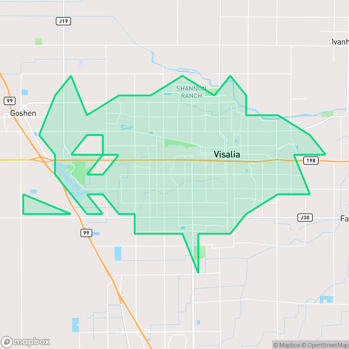
Visalia, California, known as the "Gateway to the Sequoias," is the oldest continuously inhabited inland European settlement in the San Joaquin Valley. Situated in the fertile Kaweah River delta, this agricultural hub serves as the economic and governmental center of Tulare County. For residents, Visalia offers exceptional walkability, making its historic downtown highly accessible on foot. However, environmental factors pose challenges; wildfire risks are a critical concern citywide, and flood safety remains a notable vulnerability. This city is ideal for outdoor enthusiasts and families seeking a community-oriented, pedestrian-friendly lifestyle with close proximity to Sequoia and Kings Canyon national parks.
Explore Visalia by Neighborhood
Visalia Quality Scores
See how neighborhoods in Visalia compare on air quality. Rankings are based on measured data aggregated across each neighborhood boundary.
See how neighborhoods in Visalia compare on flood safety. Rankings are based on measured data aggregated across each neighborhood boundary.
See how neighborhoods in Visalia compare on ideological lean. Rankings are based on measured data aggregated across each neighborhood boundary.
See how neighborhoods in Visalia compare on industrial proximity. Rankings are based on measured data aggregated across each neighborhood boundary.
See how neighborhoods in Visalia compare on health insurance coverage. Rankings are based on measured data aggregated across each neighborhood boundary.
See how neighborhoods in Visalia compare on acoustic comfort. Rankings are based on measured data aggregated across each neighborhood boundary.
See how neighborhoods in Visalia compare on population age profile. Rankings are based on measured data aggregated across each neighborhood boundary.
See how neighborhoods in Visalia compare on urban-rural index. Rankings are based on measured data aggregated across each neighborhood boundary.
See how neighborhoods in Visalia compare on liveliness and vibe. Rankings are based on measured data aggregated across each neighborhood boundary.
See how neighborhoods in Visalia compare on visual appeal. Rankings are based on measured data aggregated across each neighborhood boundary.
See how neighborhoods in Visalia compare on walkability. Rankings are based on measured data aggregated across each neighborhood boundary.
See how neighborhoods in Visalia compare on privacy index. Rankings are based on measured data aggregated across each neighborhood boundary.
See how neighborhoods in Visalia compare on dog friendliness. Rankings are based on measured data aggregated across each neighborhood boundary.
Visalia Neighborhood Rankings

iHuus Neighborhood Intelligence Insights
Get block-level neighborhood insights for Visalia
- Street-level scores — see how individual blocks compare, not just neighborhood averages
- Micro-zone boundaries — identify quiet pockets, flood boundaries, and walkable clusters before you visit
- 15 dimensions in full — walkability, noise, air quality, school quality, insurance coverage, population age profile, urban/rural index, and more
- Boundary risk alerts — know if your address sits near a block boundary where scores drop, the kind of detail no listing will ever mention
- School insights — individual school ratings and insights, not just district-level data
- Compare before you commit — side-by-side data across neighborhoods, down to block precision
No credit card required