West Mesa, Santa Barbara
Updated June 22, 2026 · 2,175 residents
West Mesa is a coastal enclave known for its relaxed atmosphere and proximity to outdoor recreation like Hendry's Beach and the Douglas Family Preserve. With high marks for air quality and dog friendliness, the area offers a quiet, residential setting that prioritizes natural beauty over commercial walkability.
Key Highlights
About West Mesa
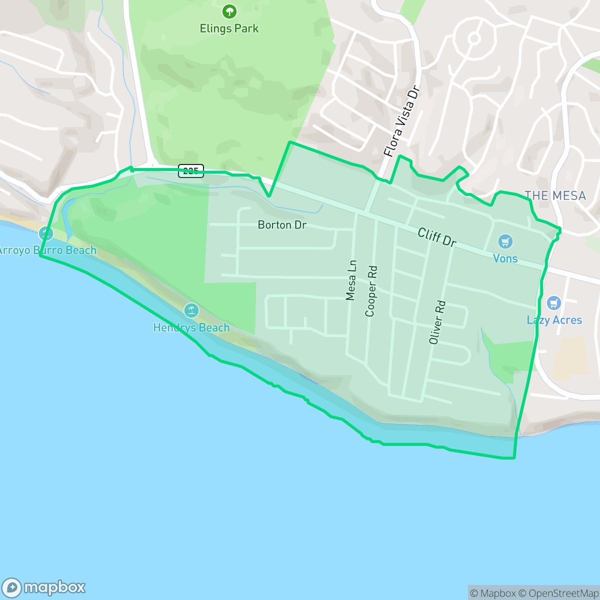
West Mesa, occupying the western portion of Santa Barbara’s coastal plateau, was originally part of the 1782 Spanish Pueblo Lands. Historically rural, it featured oak groves and grasslands where Japanese immigrant farmers established popular freesia flower farms in the early 20th century. Though platted in 1920, the neighborhood primarily developed after World War II, when returning veterans built modest mid-century ranch homes and beach cottages. Today, West Mesa is bordered by Cliff Drive, Meigs Road, and the Douglas Family Preserve. It is celebrated for its laid-back, "funky" coastal identity, characterized by eclectic architecture, surfboard-lined fences, and key local landmarks like the steep Mesa Lane Steps, which provide dramatic cliffside beach access.
The area is characterized by its residential focus and integration with the surrounding coastal environment. Residents benefit from excellent air quality and a visual aesthetic that ranks above the city average. While the neighborhood lacks a dense concentration of businesses, it maintains a steady, calm pace of life. The proximity to open spaces like the Douglas Family Preserve and nearby beach access points makes it a popular choice for pet owners and those who value outdoor activity. Prospective residents should consider the trade-offs regarding accessibility and safety. According to iHuus data, the area presents a moderate walkability profile, meaning most daily errands require a vehicle. While the neighborhood offers a peaceful environment with a noise level of 55 decibels, it faces specific environmental risks, including a lower score for fire safety that is typical of the region. The community is well-suited for those seeking a tranquil, nature-focused lifestyle rather than an urban center with high pedestrian traffic.
Neighborhood Scores Across 15 Qualities
Residential spacing offers a balanced level of separation between neighbors, slightly higher than the typical Santa Barbara density. According to iHuus data, properties feature mixed spacing with some visible buffers between adjacent homes.
Sidewalks are available on one side of the street and safe crossings are present, though pedestrian accessibility is lower than the Santa Barbara average.
Large residential properties and frequent upscale amenities contribute to a more polished streetscape than the Santa Barbara average. Extensive driveways and well-maintained surroundings define the local aesthetic, according to iHuus data.
Connected green spaces and wide, low-traffic paths provide reliable routes for pet owners. According to iHuus data, the level of dog friendliness is roughly comparable to the Santa Barbara average.
Open land and scattered homes amidst woodland define this area, offering a slightly more rural atmosphere than the typical Santa Barbara landscape according to iHuus data.
Residential life here follows a steady, calm rhythm with a moderate selection of local dining and cafes available. The area provides a slightly more subdued atmosphere compared to the broader Santa Barbara area, characterized by a blend of peaceful green spaces and scattered social spots.
Steady traffic sounds from nearby busy streets are noticeable. This level of acoustic activity is higher than the average for Santa Barbara.
Air quality remains consistently high with negligible health concerns. This level of cleanliness is on par with the rest of Santa Barbara.
Residential life in West Mesa is free from warehouses, industrial facilities, or hazardous sites. This area lacks any visible industrial activity, which is slightly more pronounced than in other parts of Santa Barbara according to iHuus data.
Health insurance coverage among West Mesa residents is relatively high, remaining largely in line with the average found throughout Santa Barbara. According to iHuus data, the majority of the population maintains access to health benefits.
Voting patterns and census indicators reflect a predominantly liberal political landscape, which is very similar to the broader Santa Barbara area according to iHuus data.
A diverse range of age groups resides here, ranging from young adults to seniors. According to iHuus data, this demographic spread is very similar to the broader Santa Barbara area.
Located within a designated 100-year floodplain, this area carries a higher risk of flooding than the Santa Barbara average. According to iHuus data, residents in this neighborhood may find that flood insurance is a typical requirement for properties.
Extreme fire hazards are present in this area, which indicates a much higher risk level than the rest of Santa Barbara. Residents should prioritize maximum protection measures and remain vigilant according to iHuus data.
Block-Level Insights for West Mesa

iHuus Neighborhood Intelligence Insights
Get block-level neighborhood insights for West Mesa
- Street-level scores — see how individual blocks compare, not just neighborhood averages
- Micro-zone boundaries — identify quiet pockets, flood boundaries, and walkable clusters before you visit
- 15 dimensions in full — walkability, noise, air quality, school quality, insurance coverage, population age profile, urban/rural index, and more
- Boundary risk alerts — know if your address sits near a block boundary where scores drop, the kind of detail no listing will ever mention
- School insights — individual school ratings and insights, not just district-level data
- Compare before you commit — side-by-side data across neighborhoods, down to block precision
No credit card required
Compare with Any Neighborhood
| Dimension | West Mesa | Alta Mesa |
|---|---|---|
| 🚶 Walkabilityavg 8.12 | ||
| 🔊 Acoustic Comfortavg 3.7 | ||
| 🤫 Privacy Indexavg 5.66 | ||
| 🎨 Visual Appealavg 7.77 | ||
| 🐕 Dog Friendlinessavg 7.45 | ||
| 🗺️ Urban-Rural Indexavg 7.13 | ||
| ✨ Neighborhood Vibeavg 5.46 | ||
| 🏥 Health Insurance Coverageavg 6.92 | ||
| 🌿 Air Qualityavg 10 | ||
| 🏭 Industrial Proximityavg 9.73 | ||
| 🌊 Flood Safetyavg 3.72 | ||
| 🗳️ Ideological Leanavg 9.64 | ||
| 👥 Population Age Profileavg 5.23 | ||
| 🔥 Fire Safetyavg 0.32 | ||
| 🏫 School Quality |
West Mesa Rankings
School Districts Serving West Mesa
Santa Barbara Unified is a high-achieving district currently facing a period of operational and demographic transition. While its high schools are premier academic institutions with robust specialized programs like the Dos Pueblos Engineering Academy, the district is struggling with a widening achievement gap and stark performance disparities between individual school sites. Operationally, the district is managing the challenges of a high cost-of-living area, including teacher retention issues and a steady 2% annual enrollment decline. Despite these fiscal headwinds and looming budget cuts, the successful implementation of 'Science of Reading' reforms and positive labor negotiations suggest a stable management team that is proactively addressing its structural and academic weaknesses.
Schools
School Insights for West Mesa
Below average outcomes; significant attendance and academic challenges.
School Insights
See what's really behind every school rating near West Mesa
- Individual school ratings — each school's own score with outcome context, not just a district average
- Enrollment & class size data — student-to-teacher ratio and how it compares to the state average
- Full demographics breakdown — ethnicity and gender composition for every school in the enrollment zone
- Every school in the district — all schools within the enrollment boundary ranked by rating, not just the closest one
- Grade levels & benchmarks — elementary through high school, with below/above state-average flags
No credit card required