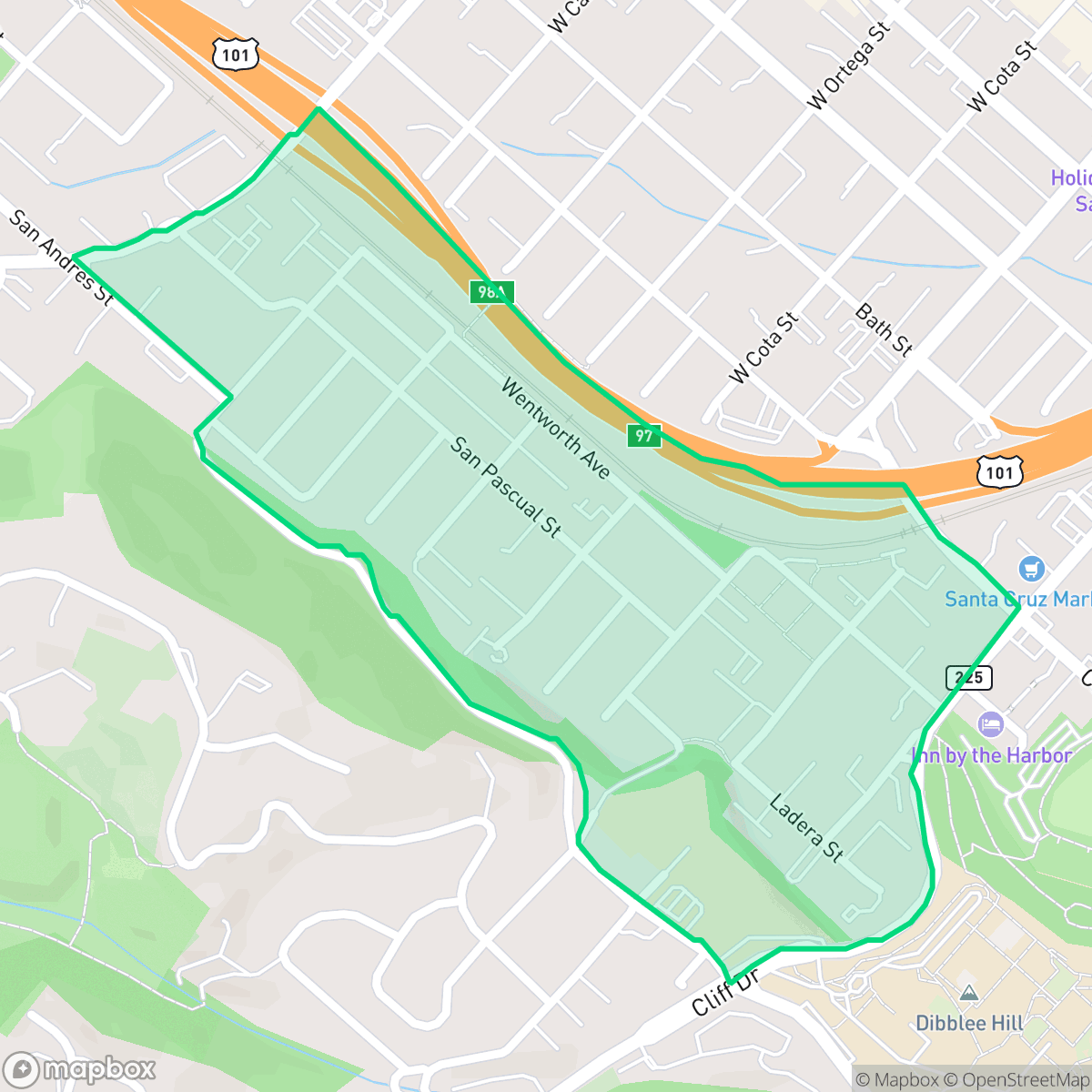
Lower Westside, Santa Barbara
Updated June 22, 2026 · 3,005 residents
The Lower Westside is a dense residential neighborhood known for its historic Victorian architecture and high walkability. While the area offers convenient access to local shops and green spaces, residents often experience significant noise from nearby road traffic.
Key Highlights
About Lower Westside
Santa Barbara’s Lower Westside evolved from marshy grazing land into the city’s first Anglo-initiated suburb following California’s 1850 statehood. Because the area was well-watered, it was initially divided into five-acre agricultural tracts. In 1861, prominent early landowner Judge Albert Packard built a landmark yellow brick mansion on West Canon Perdido Street. As the neighborhood transitioned from farmland to residential blocks around the turn of the 20th century, it developed a distinct architectural character. Unlike the Spanish Colonial Revival styles dominant in downtown Santa Barbara, the Lower Westside is celebrated for its historic Victorian-era homes, featuring Italianate, Eastlake, and Queen Anne architectural styles. Today, it remains one of the city's most historic, diverse, and densely populated residential areas.
This neighborhood serves as a central hub in Santa Barbara, characterized by a blend of high-density housing and established residential streets. It maintains a strong sense of community with accessible pedestrian grids and proximity to diverse local retail options, such as the Guadalajara Market and Deli. The area is particularly well-suited for those who value an active, urban-adjacent lifestyle with easy access to outdoor recreation and pet-friendly spaces.
Prospective residents should weigh the benefits of this central location against specific environmental factors. The area experiences high noise levels primarily due to road traffic, which may impact acoustic comfort. Additionally, families should consider the current performance metrics of local schools like McKinley Elementary and note that the area faces challenges regarding flood and fire safety. It remains a popular choice for those prioritizing neighborhood character and transit accessibility over absolute quiet or top-tier school ratings.
Neighborhood Scores Across 15 Qualities
Residential spacing varies between tightly packed apartments and detached houses with moderate yard buffers. According to iHuus data, this area offers less separation between neighbors than the Santa Barbara average.
Pedestrian movement is seamless due to a complete sidewalk grid and dedicated bridges over the highway divide. This level of connectivity and ease of crossing is significantly higher than the Santa Barbara average.
Large homes with private pools and well-maintained landscaping characterize the area. This visual quality is slightly above the Santa Barbara average, according to iHuus data.
Wooded trails and large athletic fields provide ample space for pets, making the area roughly comparable to the city average for dog friendliness. Street trees and green buffers are present, although much of the larger greenery in the area is located on private or steep hillside properties.
Residential coverage and commercial hubs provide a transition between denser urban areas and open land. This neighborhood is slightly less developed than the Santa Barbara average, offering a mix of low-rise urban infrastructure and significant residential density according to iHuus data.
Diverse local destinations and social hubs create a much more energetic atmosphere than the typical Santa Barbara district. While some coastal blocks remain calm, the area features a high concentration of eateries, coffee shops, and cultural landmarks according to iHuus data.
Frequent auditory disruptions from the nearby freeway and railroad tracks make this area significantly louder than the Santa Barbara average, according to iHuus data.
Air quality remains consistently excellent with no notable health concerns. This level of air purity is on par with the rest of Santa Barbara.
Land use is restricted to residential and light commercial properties, with no detected warehouses or industrial hazards. This area maintains a cleaner profile than the Santa Barbara average according to iHuus data.
Health insurance access is significantly lower here than the Santa Barbara average, according to iHuus data. This indicates a high proportion of uninsured residents within the community.
Voting patterns and census indicators show a highly progressive political environment that is slightly more liberal than the Santa Barbara average.
A varied demographic of young adults, families, and seniors resides here, though the population leans slightly younger than the Santa Barbara average according to iHuus data.
Properties in this area are situated within a known floodplain, which may necessitate flood insurance. According to iHuus data, the risk levels here are consistent with the city average.
Block-Level Insights for Lower Westside

iHuus Neighborhood Intelligence Insights
Get block-level neighborhood insights for Lower Westside
- Street-level scores — see how individual blocks compare, not just neighborhood averages
- Micro-zone boundaries — identify quiet pockets, flood boundaries, and walkable clusters before you visit
- 15 dimensions in full — walkability, noise, air quality, school quality, insurance coverage, population age profile, urban/rural index, and more
- Boundary risk alerts — know if your address sits near a block boundary where scores drop, the kind of detail no listing will ever mention
- School insights — individual school ratings and insights, not just district-level data
- Compare before you commit — side-by-side data across neighborhoods, down to block precision
No credit card required
Compare with Any Neighborhood
| Dimension | Lower Westside | Alta Mesa |
|---|---|---|
| 🚶 Walkabilityavg 8.12 | ||
| 🔊 Acoustic Comfortavg 3.7 | ||
| 🤫 Privacy Indexavg 5.66 | ||
| 🎨 Visual Appealavg 7.77 | ||
| 🐕 Dog Friendlinessavg 7.45 | ||
| 🗺️ Urban-Rural Indexavg 7.13 | ||
| ✨ Neighborhood Vibeavg 5.46 | ||
| 🏥 Health Insurance Coverageavg 6.92 | ||
| 🌿 Air Qualityavg 10 | ||
| 🏭 Industrial Proximityavg 9.73 | ||
| 🌊 Flood Safetyavg 3.72 | ||
| 🗳️ Ideological Leanavg 9.64 | ||
| 👥 Population Age Profileavg 5.23 | ||
| 🔥 Fire Safetyavg 0.32 | ||
| 🏫 School Quality |
Lower Westside Rankings
School Districts Serving Lower Westside
Santa Barbara Unified is a high-achieving district currently facing a period of operational and demographic transition. While its high schools are premier academic institutions with robust specialized programs like the Dos Pueblos Engineering Academy, the district is struggling with a widening achievement gap and stark performance disparities between individual school sites. Operationally, the district is managing the challenges of a high cost-of-living area, including teacher retention issues and a steady 2% annual enrollment decline. Despite these fiscal headwinds and looming budget cuts, the successful implementation of 'Science of Reading' reforms and positive labor negotiations suggest a stable management team that is proactively addressing its structural and academic weaknesses.
Schools
School Insights for Lower Westside
Below average outcomes; significant attendance and academic challenges.
School Insights
See what's really behind every school rating near Lower Westside
- Individual school ratings — each school's own score with outcome context, not just a district average
- Enrollment & class size data — student-to-teacher ratio and how it compares to the state average
- Full demographics breakdown — ethnicity and gender composition for every school in the enrollment zone
- Every school in the district — all schools within the enrollment boundary ranked by rating, not just the closest one
- Grade levels & benchmarks — elementary through high school, with below/above state-average flags
No credit card required