Laguna, Santa Barbara
Updated June 22, 2026 · 4,390 residents
Laguna is an exceptionally walkable neighborhood in Santa Barbara, defined by its creative atmosphere and the adaptive reuse of historic structures. Residents benefit from a well-maintained environment with high air quality and convenient access to local dining and recreational amenities.
Key Highlights
About Laguna
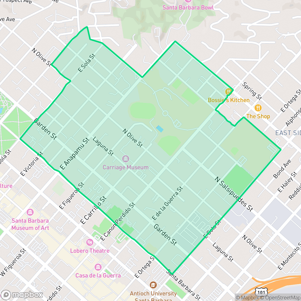
The Laguna District in Santa Barbara, centered along the Haley, Gutierrez, and Montecito Street corridors, derives its name from a historic freshwater pond where the Gaspar de Portolá expedition camped in 1769. In 1851, surveyor Salisbury Haley laid out the street grid, naming Laguna Street to commemorate this wetland area. The low-lying basin historically transitioned from a salt marsh and agricultural flatland into a light industrial and automotive hub. Today, the neighborhood is a rising creative-industrial and mixed-use corridor defined by the adaptive reuse of historic structures. Notable local landmarks include the 1850s Arrellanes-Kirk Adobe and "The Mill," a former feed mill transformed into a bustling artisan marketplace.
The area offers a distinct urban experience characterized by a high degree of walkability and a refined aesthetic. Many properties feature well-kept yards and luxury amenities, contributing to a visual appeal that exceeds the city average. The neighborhood maintains an active local culture with diverse dining options and community landmarks, benefiting from excellent air quality and a lack of industrial hazards.
While the neighborhood provides an engaging lifestyle, prospective residents should consider specific trade-offs regarding acoustic comfort and environmental risks. Road traffic contributes to moderate noise levels, and the area faces challenges related to flood and fire safety. The local school district is currently managing a period of transition, with high schools offering robust specialized programs despite broader academic disparities. This location is well-suited for individuals who prioritize proximity to urban services and a pedestrian-centric lifestyle.
Neighborhood Scores Across 15 Qualities
Housing density is moderate with varied spacing between neighbors. While some homes are detached, others sit close to neighbors or share walls, a pattern that is slightly more dense than the Santa Barbara average according to iHuus data.
Pedestrian navigation is easy due to a structured grid with continuous sidewalks and visible crosswalks. This area offers better walkability than the Santa Barbara average, particularly with close access to parks and local commercial zones.
Large estate-style homes with manicured landscaping and private amenities, such as pools and tennis courts, characterize this area. According to iHuus data, the visual quality of the neighborhood is slightly above the Santa Barbara average.
Large public parks and wide residential sidewalks provide ample space for pets. According to iHuus data, the availability of green space and walking paths is roughly comparable to the rest of Santa Barbara.
Open land and scattered homes amidst woodland characterize this area, offering a more semi-rural atmosphere than the typical Santa Barbara landscape.
A mix of quiet residential streets and active pockets provides more social energy than the Santa Barbara average. Residents can access various dining and cultural landmarks, though many amenities require a short drive due to the low density of the area.
Steady sounds from nearby busy streets are common here, though acoustic levels remain noticeably more tranquil than the Santa Barbara average according to iHuus data.
Air quality remains consistently high with minimal health concerns. This level of cleanliness is on par with the rest of Santa Barbara, according to iHuus data.
Industrial activity is nonexistent in this area, as the landscape consists entirely of residential, educational, and recreational zones. According to iHuus data, this absence of warehouses or heavy industrial hazards is consistent with the rest of Santa Barbara.
Health insurance accessibility is notably higher in Laguna than the Santa Barbara city average, according to iHuus data.
Voting patterns and census indicators in Laguna reflect a very strong liberal leaning, slightly more so than the Santa Barbara city average.
Residents live alongside a diverse range of age groups, including young adults, families, and seniors. This demographic distribution is very similar to the broader Santa Barbara area, according to iHuus data.
Frequent flood risk exists within this area because it is situated inside a designated 100 year floodplain. According to iHuus data, this level of vulnerability is significantly higher than the average found throughout Santa Barbara.
Block-Level Insights for Laguna

iHuus Neighborhood Intelligence Insights
Get block-level neighborhood insights for Laguna
- Street-level scores — see how individual blocks compare, not just neighborhood averages
- Micro-zone boundaries — identify quiet pockets, flood boundaries, and walkable clusters before you visit
- 15 dimensions in full — walkability, noise, air quality, school quality, insurance coverage, population age profile, urban/rural index, and more
- Boundary risk alerts — know if your address sits near a block boundary where scores drop, the kind of detail no listing will ever mention
- School insights — individual school ratings and insights, not just district-level data
- Compare before you commit — side-by-side data across neighborhoods, down to block precision
No credit card required
Compare with Any Neighborhood
| Dimension | Laguna | Alta Mesa |
|---|---|---|
| 🚶 Walkabilityavg 8.12 | ||
| 🔊 Acoustic Comfortavg 3.7 | ||
| 🤫 Privacy Indexavg 5.66 | ||
| 🎨 Visual Appealavg 7.77 | ||
| 🐕 Dog Friendlinessavg 7.45 | ||
| 🗺️ Urban-Rural Indexavg 7.13 | ||
| ✨ Neighborhood Vibeavg 5.46 | ||
| 🏥 Health Insurance Coverageavg 6.92 | ||
| 🌿 Air Qualityavg 10 | ||
| 🏭 Industrial Proximityavg 9.73 | ||
| 🌊 Flood Safetyavg 3.72 | ||
| 🗳️ Ideological Leanavg 9.64 | ||
| 👥 Population Age Profileavg 5.23 | ||
| 🔥 Fire Safetyavg 0.32 | ||
| 🏫 School Quality |
Laguna Rankings
School Districts Serving Laguna
Santa Barbara Unified is a high-achieving district currently facing a period of operational and demographic transition. While its high schools are premier academic institutions with robust specialized programs like the Dos Pueblos Engineering Academy, the district is struggling with a widening achievement gap and stark performance disparities between individual school sites. Operationally, the district is managing the challenges of a high cost-of-living area, including teacher retention issues and a steady 2% annual enrollment decline. Despite these fiscal headwinds and looming budget cuts, the successful implementation of 'Science of Reading' reforms and positive labor negotiations suggest a stable management team that is proactively addressing its structural and academic weaknesses.
Schools
School Insights for Laguna
Below average outcomes; significant attendance and academic challenges.
School Insights
See what's really behind every school rating near Laguna
- Individual school ratings — each school's own score with outcome context, not just a district average
- Enrollment & class size data — student-to-teacher ratio and how it compares to the state average
- Full demographics breakdown — ethnicity and gender composition for every school in the enrollment zone
- Every school in the district — all schools within the enrollment boundary ranked by rating, not just the closest one
- Grade levels & benchmarks — elementary through high school, with below/above state-average flags
No credit card required