Railroad District, San Luis Obispo
Updated June 22, 2026 · 659 residents
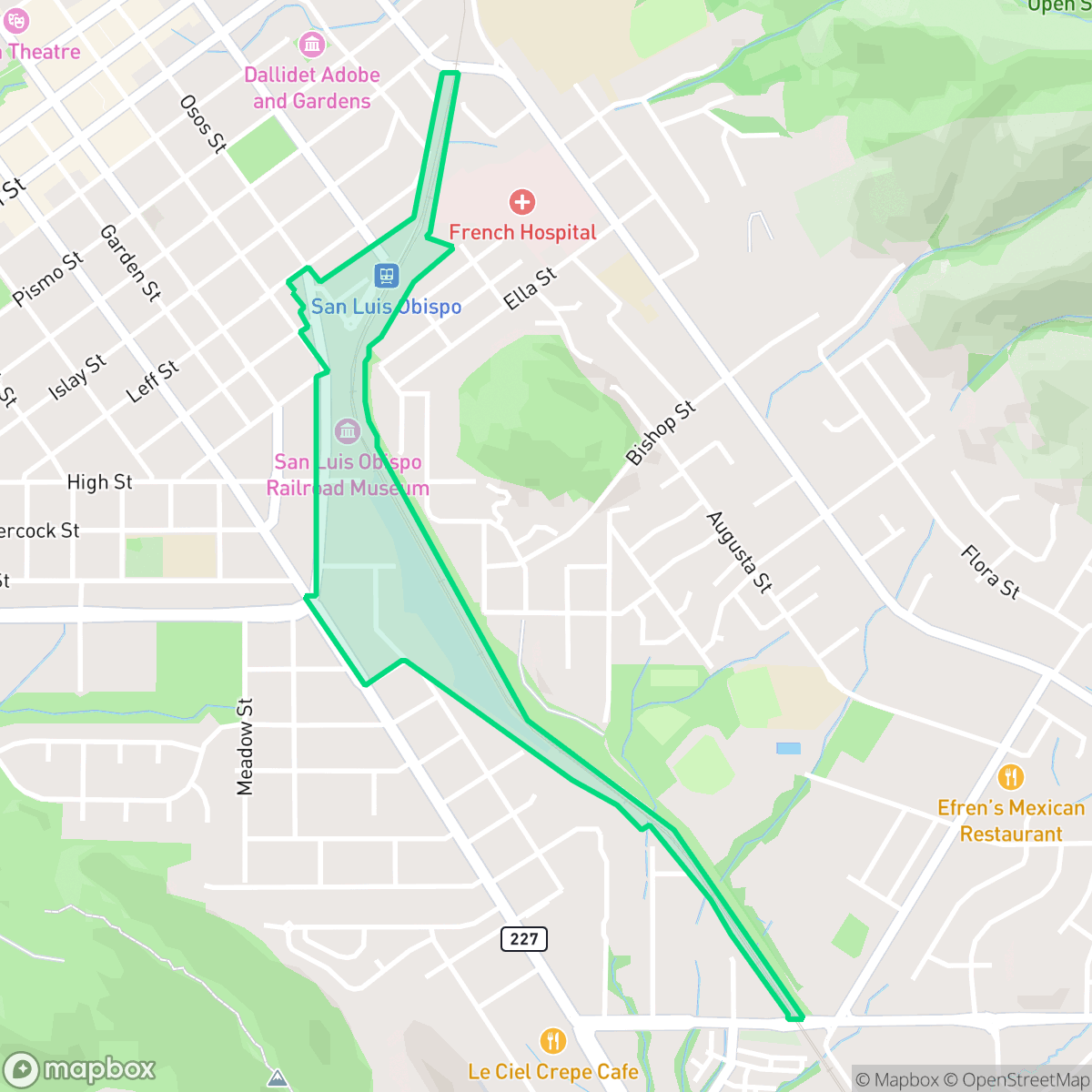
The Railroad District is a highly walkable neighborhood in San Luis Obispo defined by its vintage character and proximity to transit hubs. Residents benefit from a dense, pedestrian-friendly grid, though the area experiences moderate noise levels from nearby road traffic and the active rail line.
Key Highlights
About Railroad District
San Luis Obispo’s historic Railroad District developed rapidly following the 1894 arrival of the Southern Pacific Railroad. The neighborhood’s growth relied heavily on Chinese immigrant laborers, whose contributions are commemorated by the 'Iron Road Pioneers' sculpture at Railroad Avenue and Osos Street. Architecturally, the district is defined by late 19th-century Italianate and Colonial Revival homes—originally built for rail workers—and the Spanish Revival-style Amtrak Depot. Notable landmarks include the San Luis Obispo Railroad Museum and the historic 1906 Hotel Park (originally the Glen Dell boarding house). Today, the neighborhood retains its vintage charm, anchored by the Jennifer Street pedestrian bridge and beloved local businesses like Café Roma, Del Monte Café, and Sally Loo’s Wholesome Café.
The neighborhood features a mix of single-family homes and small commercial clusters that maintain a distinct, low-density urban character. Its exceptional walkability allows residents to easily access local dining and community landmarks, while the air quality remains excellent throughout the area. According to iHuus data, the community maintains a lively atmosphere that balances its residential roots with accessible amenities and green spaces.
Prospective residents should note that the area presents specific livability trade-offs. The housing layout results in limited privacy due to closely spaced structures, and acoustic comfort is impacted by consistent road traffic. Additionally, the district faces elevated risks regarding flood and fire safety, which are important considerations for those evaluating long-term housing options in this part of the city.
Neighborhood Scores Across 15 Qualities
Residential structures are closely positioned with limited side yard space, resulting in a level of privacy that is slightly lower than the San Luis Obispo average.
Pedestrian movement is easy due to continuous sidewalks on both sides of most streets and clear crossings at intersections. This level of walkability is notably higher than the San Luis Obispo average, according to iHuus data.
Modest lot sizes and uniform rooflines characterize this area, which offers slightly less visual variety than the San Luis Obispo average. According to iHuus data, the landscape consists primarily of tidy, middle-class tract housing with minimal private amenities like pools.
Public parks and connected green spaces are easily accessible throughout the residential grid. This level of dog friendliness is largely in line with the city average according to iHuus data.
A mix of single-family homes and small commercial clusters defines this area. This neighborhood feels slightly less developed than the San Luis Obispo average due to the presence of more open land and scattered housing.
Local dining and social establishments provide more activity than the city average. While the area features a notable concentration of eateries and museums, most locations require a car to access.
Continuous noise from nearby busy streets is common here; however, this level of acoustic activity is slightly more pronounced than the city average according to iHuus data.
Air quality is consistently excellent with minimal health concerns, matching the high standard seen throughout the rest of San Luis Obispo.
Residential and light commercial uses dominate the area, with no heavy industrial hazards or large warehouses nearby. This setting is slightly less removed from commercial activity than the San Luis Obispo average, according to iHuus data.
Health insurance enrollment among residents is lower than the San Luis Obispo city average, according to iHuus data.
Voting patterns and census indicators reflect a predominantly liberal political leaning that is slightly more pronounced than the San Luis Obispo city average, according to iHuus data.
Residents live alongside a balanced mix of young adults, families, and older individuals. This age distribution is largely consistent with the broader San Luis Obispo area, according to iHuus data.
Located within a coastal high-hazard zone subject to wave action, this area faces significantly higher flood risks than the rest of San Luis Obispo. Residents should anticipate elevated or potentially prohibitive flood insurance costs according to iHuus data.
Block-Level Insights for Railroad District

iHuus Neighborhood Intelligence Insights
Get block-level neighborhood insights for Railroad District
- Street-level scores — see how individual blocks compare, not just neighborhood averages
- Micro-zone boundaries — identify quiet pockets, flood boundaries, and walkable clusters before you visit
- 15 dimensions in full — walkability, noise, air quality, school quality, insurance coverage, population age profile, urban/rural index, and more
- Boundary risk alerts — know if your address sits near a block boundary where scores drop, the kind of detail no listing will ever mention
- School insights — individual school ratings and insights, not just district-level data
- Compare before you commit — side-by-side data across neighborhoods, down to block precision
No credit card required
Compare with Any Neighborhood
| Dimension | Railroad District | Downtown |
|---|---|---|
| 🚶 Walkabilityavg 8.55 | ||
| 🔊 Acoustic Comfortavg 3.09 | ||
| 🤫 Privacy Indexavg 5.37 | ||
| 🎨 Visual Appealavg 6.61 | ||
| 🐕 Dog Friendlinessavg 8.17 | ||
| 🗺️ Urban-Rural Indexavg 7.06 | ||
| ✨ Neighborhood Vibeavg 6.03 | ||
| 🏥 Health Insurance Coverageavg 8.08 | ||
| 🌿 Air Qualityavg 9.99 | ||
| 🏭 Industrial Proximityavg 8.94 | ||
| 🌊 Flood Safetyavg 3.32 | ||
| 🗳️ Ideological Leanavg 9.27 | ||
| 👥 Population Age Profileavg 4.55 | ||
| 🔥 Fire Safetyavg 1.35 | ||
| 🏫 School Quality |
Railroad District Rankings
School Districts Serving Railroad District
San Luis Coastal Unified School District maintains a prestigious academic reputation as the top-ranked district in San Luis Obispo County, characterized by a high-performing school portfolio and stable leadership. Although the district is currently navigating a $5 million structural deficit and controversial staff reductions following the expiration of Diablo Canyon tax revenues, its foundational metrics remain strong with 'Green' dashboard ratings and robust community support. While the fiscal transition introduces a degree of operational risk, the district's high college-readiness scores and proactive legislative advocacy for sustainable funding indicate a stable organization that remains a premier educational provider in the region.
Schools
School Insights for Railroad District
Below average outcomes; significant attendance and academic challenges.
School Insights
See what's really behind every school rating near Railroad District
- Individual school ratings — each school's own score with outcome context, not just a district average
- Enrollment & class size data — student-to-teacher ratio and how it compares to the state average
- Full demographics breakdown — ethnicity and gender composition for every school in the enrollment zone
- Every school in the district — all schools within the enrollment boundary ranked by rating, not just the closest one
- Grade levels & benchmarks — elementary through high school, with below/above state-average flags
No credit card required