Arundell, San Buenaventura (Ventura)
Updated June 22, 2026 · 1,799 residents
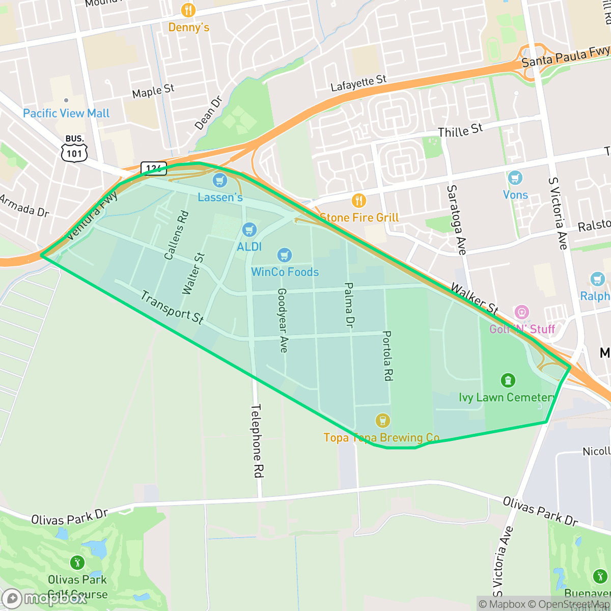
Arundell is a primarily industrial and commercial district in Ventura characterized by large-scale logistics facilities, warehouses, and a diverse range of casual dining options. While the area offers convenient access to major transit corridors, it is defined by significant road noise and a limited pedestrian-friendly environment.
Key Highlights
About Arundell
Located in Ventura, this neighborhood serves as a significant hub for light industry and logistics. The landscape is dominated by large warehouses, commercial parks, and active freight corridors that support the local economy. Despite its industrial focus, the area maintains a degree of liveliness through a variety of dining establishments, including local favorites like De La Cruz Authentic Mexican Cuisine and various social hubs near the main thoroughfares. According to iHuus data, the neighborhood provides a unique, high-activity atmosphere that contrasts with the quieter residential zones of the city.
Living in or visiting this area requires adjusting to a high-traffic environment, as road noise is a persistent factor. The neighborhood is not highly walkable, and its industrial character means it offers fewer amenities for pet owners compared to other parts of the city. While the air quality remains excellent, those considering the area should be mindful of the logistical activity and the current state of the local school district, which is navigating significant structural and budgetary transitions.
Neighborhood Scores Across 15 Qualities
Residential spacing varies between tightly packed multi-unit structures and more buffered homes, making privacy levels slightly lower than the Ventura average. Some areas contain closely situated houses and shared walls near industrial zones.
Residential streets feature consistent sidewalks and safe crossings, though proximity to a major highway and large intersections can disrupt pedestrian flow. This level of accessibility is slightly lower than the city average, according to iHuus data.
Typical tract housing and apartment complexes define the landscape, offering modest yards and shared amenities. This level of visual variety is slightly below the city average for San Buenaventura.
Access to pet-friendly areas is below the city average. While a central park and some green belts offer walking opportunities, many residential streets feature narrow verges and significant concrete coverage from nearby industrial zones.
Open agricultural fields and large-scale greenhouses characterize this area, though it remains slightly less rural than the city average. Residents will find a mix of low-density residential clusters alongside significant industrial and agricultural landscapes.
A mix of residential streets, green spaces, and light industrial zones creates a balanced energy that is slightly more active than the typical Ventura neighborhood. While dining and social hubs are present, the area remains primarily car-oriented with limited walking access to local services.
Constant noise from the nearby airport runway is a defining feature of this area, making acoustic comfort significantly lower than the city average. Residents should expect frequent aircraft activity due to the immediate proximity to flight paths.
Air quality is consistently excellent here, matching the high standard found throughout the rest of San Buenaventura. Residents can expect very low levels of pollutants and minimal health concerns related to atmospheric conditions.
Significant logistics hubs, greenhouse complexes, and warehouse operations are present in the southern and southeastern portions of the area. According to iHuus data, this presence of large-scale commercial activity and associated truck traffic is notably higher than the city average.
Health insurance enrollment among residents is lower than the average seen across San Buenaventura, according to iHuus data.
Political leanings in Arundell lean more liberal than the typical Ventura resident, according to iHuus data.
Residents live alongside a balanced mix of young adults, families, and seniors. This demographic spread is largely consistent with the broader San Buenaventura area, according to iHuus data.
Significant flood hazards exist here due to the area's location in a coastal high-hazard zone with potential wave action. According to iHuus data, this risk level is much higher than the average for San Buenaventura, which may lead to elevated or prohibitive insurance costs for residents.
Block-Level Insights for Arundell

iHuus Neighborhood Intelligence Insights
Get block-level neighborhood insights for Arundell
- Street-level scores — see how individual blocks compare, not just neighborhood averages
- Micro-zone boundaries — identify quiet pockets, flood boundaries, and walkable clusters before you visit
- 15 dimensions in full — walkability, noise, air quality, school quality, insurance coverage, population age profile, urban/rural index, and more
- Boundary risk alerts — know if your address sits near a block boundary where scores drop, the kind of detail no listing will ever mention
- School insights — individual school ratings and insights, not just district-level data
- Compare before you commit — side-by-side data across neighborhoods, down to block precision
No credit card required
Compare with Any Neighborhood
| Dimension | Arundell | Downtown |
|---|---|---|
| 🚶 Walkabilityavg 8.94 | ||
| 🔊 Acoustic Comfortavg 2.96 | ||
| 🤫 Privacy Indexavg 4.99 | ||
| 🎨 Visual Appealavg 6.55 | ||
| 🐕 Dog Friendlinessavg 6.7 | ||
| 🗺️ Urban-Rural Indexavg 6.9 | ||
| ✨ Neighborhood Vibeavg 4.55 | ||
| 🏥 Health Insurance Coverageavg 8.28 | ||
| 🌿 Air Qualityavg 9.98 | ||
| 🏭 Industrial Proximityavg 8.77 | ||
| 🌊 Flood Safetyavg 5.24 | ||
| 🗳️ Ideological Leanavg 8.09 | ||
| 👥 Population Age Profileavg 5.15 | ||
| 🔥 Fire Safetyavg 0.58 | ||
| 🏫 School Quality |
Arundell Rankings
School Districts Serving Arundell
Ventura Unified is a district in fiscal and structural transition, balancing high-performing flagship campuses with a portfolio of struggling elementary schools facing potential closure. Despite academic strengths—including an A-minus Niche rating and state recognition for attendance—the district is grappling with a persistent enrollment decline of 300 students per year and significant budget deficits that have necessitated staff cuts and surplus property sales. While terminal high schools like Foothill Technology and Ventura High remain stable 'destination' sites, the operational health is currently strained by labor negotiations and the socio-economic pressures of the California coast, placing the district in a state of high-stakes reorganization.
Schools
School Insights for Arundell
Below average outcomes; significant attendance and academic challenges.
School Insights
See what's really behind every school rating near Arundell
- Individual school ratings — each school's own score with outcome context, not just a district average
- Enrollment & class size data — student-to-teacher ratio and how it compares to the state average
- Full demographics breakdown — ethnicity and gender composition for every school in the enrollment zone
- Every school in the district — all schools within the enrollment boundary ranked by rating, not just the closest one
- Grade levels & benchmarks — elementary through high school, with below/above state-average flags
No credit card required