El Toro Marine Air Station, Irvine
Updated June 22, 2026 · 2,384 residents
El Toro Marine Air Station is a master-planned community defined by its integration of modern residential developments and expansive public parkland. Residents benefit from exceptional walkability and high-quality local schools, though the area faces challenges regarding road traffic noise and proximity to industrial zones. According to iHuus data, this neighborhood offers a unique blend of suburban life and recreational space built upon a significant military legacy.
Key Highlights
About El Toro Marine Air Station
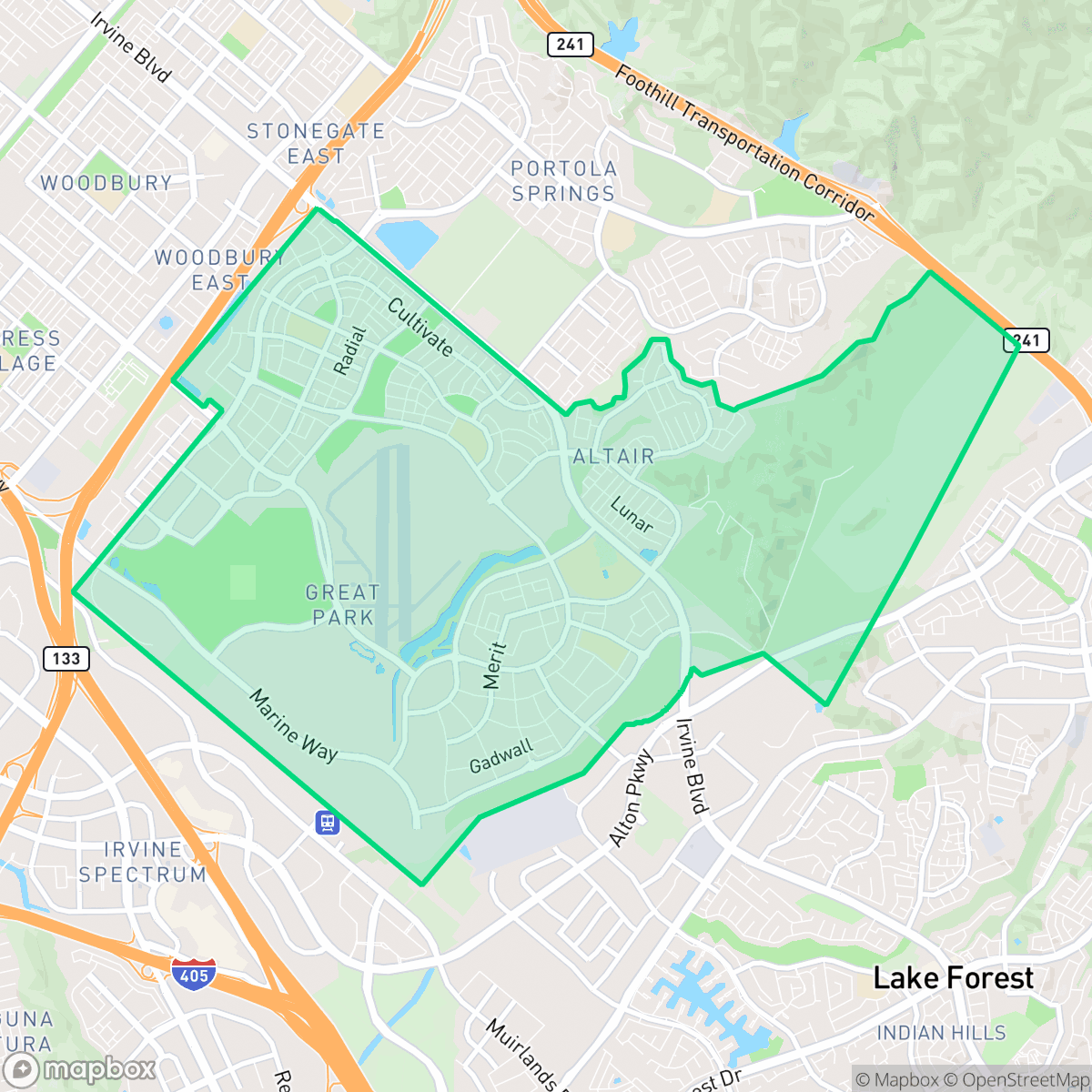
Established in 1942 on land purchased from the Irvine Company—which initially resisted because the site was the largest lima bean field in North America—Marine Corps Air Station (MCAS) El Toro was commissioned in 1943. For over 50 years, it served as the premier West Coast hub for Marine Corps aviation and a Master Jet Station, acting as a major deployment point during World War II, the Korean War, and the Vietnam War. Following its decommissioning in 1999, the base underwent a massive urban transformation. Today, the neighborhood centers around the Orange County Great Park, which integrates modern residential communities with preserved military landmarks. Historic structures like Hangar 244 and Hangar 296 have been adaptively reused for public arts and the Flying Leatherneck Aviation Museum, preserving the area's rich military heritage.
The area is characterized by a dense suburban layout that combines contemporary townhomes with large-scale recreational facilities and commercial office parks. It serves as a central hub for outdoor activity, with the Orange County Great Park providing extensive green space that anchors the surrounding residential blocks. The neighborhood maintains a serene, quiet atmosphere, though this tranquility is occasionally punctuated by the presence of nearby freight traffic and light industrial warehouses.
Prospective residents should consider specific environmental and safety factors when evaluating this location. While the area boasts high walkability and access to top-tier educational institutions within the Irvine Unified School District, it is situated near an EPA Superfund site, which necessitates awareness regarding soil and groundwater conditions. Additionally, the neighborhood faces significant acoustic challenges due to road traffic and presents a high risk profile for fire safety. Despite these trade-offs, the community remains a popular choice for those seeking a highly connected, modern environment with robust infrastructure.
Neighborhood Scores Across 15 Qualities
Residential spacing offers a moderate level of separation between neighbors, which is roughly in line with the Irvine average according to iHuus data.
Sidewalks are available on one side of the streets and safe crossings are provided. While the area is highly navigable, it is slightly less walkable than the Irvine average according to iHuus data.
Large homes and spacious driveways contribute to a pleasant streetscape, though overall visual variety is slightly below the Irvine average according to iHuus data.
Interconnected green spaces and wide, low-traffic paths provide an environment that is more dog-friendly than the Irvine average, according to iHuus data.
Open land and undeveloped hilly terrain are common in this area, providing a more spacious feel than the Irvine average. According to iHuus data, the landscape features a mix of large-scale industrial footprints and scattered residential clusters amidst open space.
Limited local amenities and a low density of social destinations result in a much more subdued atmosphere than the Irvine average. Most residents will find the area primarily composed of quiet residential and industrial blocks with very few walkable shops or restaurants nearby.
Continuous aircraft noise from the adjacent runway is a dominant feature here, resulting in much lower acoustic comfort than the Irvine average. Residents should expect significant auditory disruptions due to the immediate proximity to airport operations.
Air quality in this area is notably better than the Irvine average. Residents can expect mostly clean air with only rare instances of elevated readings according to iHuus data.
Mixed-use elements like light industrial warehouses and a wastewater treatment plant are present alongside residential areas. This level of industrial proximity is notably higher than the Irvine average and includes proximity to a federal Superfund site with potential soil and groundwater concerns, according to iHuus data.
Health insurance access is widespread among residents, performing slightly above the Irvine average according to iHuus data.
Political leanings in this area align closely with the broader Irvine average, characterized by a liberal majority and a modest opposing presence according to iHuus data.
Residents live alongside a varied mix of young adults, families, and older individuals. This age distribution is slightly more balanced than the typical Irvine profile, according to iHuus data.
Flood risk levels in this area are higher than the Irvine average, though a lack of detailed FEMA studies makes the precise risk level difficult to determine. According to iHuus data, the area falls into a category where official flood studies have not yet been completed.
Extreme fire hazards are present in this area, matching the high risk levels found across the rest of Irvine. Residents should be aware of the significant danger and the necessity for rigorous fire prevention measures according to iHuus data.
Block-Level Insights for El Toro Marine Air Station

iHuus Neighborhood Intelligence Insights
Get block-level neighborhood insights for El Toro Marine Air Station
- Street-level scores — see how individual blocks compare, not just neighborhood averages
- Micro-zone boundaries — identify quiet pockets, flood boundaries, and walkable clusters before you visit
- 15 dimensions in full — walkability, noise, air quality, school quality, insurance coverage, population age profile, urban/rural index, and more
- Boundary risk alerts — know if your address sits near a block boundary where scores drop, the kind of detail no listing will ever mention
- School insights — individual school ratings and insights, not just district-level data
- Compare before you commit — side-by-side data across neighborhoods, down to block precision
No credit card required
Compare with Any Neighborhood
| Dimension | El Toro Marine Air Station | Business District |
|---|---|---|
| 🚶 Walkabilityavg 9.44 | ||
| 🔊 Acoustic Comfortavg 2.83 | ||
| 🤫 Privacy Indexavg 4.53 | ||
| 🎨 Visual Appealavg 7.36 | ||
| 🐕 Dog Friendlinessavg 7.98 | ||
| 🗺️ Urban-Rural Indexavg 6.69 | ||
| ✨ Neighborhood Vibeavg 4.63 | ||
| 🏥 Health Insurance Coverageavg 8.7 | ||
| 🌿 Air Qualityavg 6.22 | ||
| 🏭 Industrial Proximityavg 9.32 | ||
| 🌊 Flood Safetyavg 3.93 | ||
| 🗳️ Ideological Leanavg 7.23 | ||
| 👥 Population Age Profileavg 4.73 | ||
| 🔥 Fire Safetyavg 0.41 | ||
| 🏫 School Quality |
El Toro Marine Air Station Rankings
School Districts Serving El Toro Marine Air Station
Irvine Unified School District is a premier 'Blue Chip' organization characterized by exceptional academic consistency, financial stability, and high community trust. With nearly all schools performing at the highest state percentiles and high schools serving as national leaders in STEM and the arts, the district maintains a robust operational posture. While the district faces localized challenges regarding student mental health and rapid enrollment growth in new developments, its proactive facility investments and superior teacher quality rankings confirm its status as one of the most stable and high-performing educational entities in California.
Schools
SVUSD is a high-performing, stable school district characterized by an elite collection of top-tier high schools and a diverse range of successful elementary programs, earning it a 'Solid/Stable' rating. While the district is managing a 2% decline in enrollment—a common demographic trend in South Orange County—its operational health remains strong due to successful facility modernizations, high graduation rates (95%), and a proactive expansion of specialized CTE and dual-language tracks. Although a small subset of intermediate and alternative schools shows lower performance metrics, the district's overall portfolio remains highly desirable, bolstered by significant community support and a reputation for excellence in both academics and special education services.
Schools
School Insights for El Toro Marine Air Station
Below average outcomes; significant attendance and academic challenges.
School Insights
See what's really behind every school rating near El Toro Marine Air Station
- Individual school ratings — each school's own score with outcome context, not just a district average
- Enrollment & class size data — student-to-teacher ratio and how it compares to the state average
- Full demographics breakdown — ethnicity and gender composition for every school in the enrollment zone
- Every school in the district — all schools within the enrollment boundary ranked by rating, not just the closest one
- Grade levels & benchmarks — elementary through high school, with below/above state-average flags
No credit card required