West Park, Davis
Updated June 22, 2026 · 361 residents
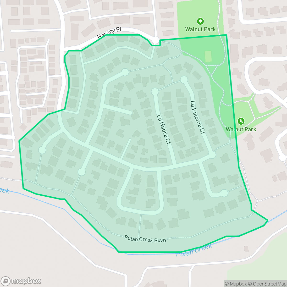
West Park is a quiet, rural enclave in Davis that offers significant privacy and a serene atmosphere far from the city's commercial hubs. While it provides a peaceful environment with high acoustic comfort, residents face limited walkability and should be aware of the area's proximity to a local EPA Superfund site.
Key Highlights
About West Park
West Park is defined by its rural landscape and significant open space, distinguishing it from the denser residential developments found elsewhere in Davis. According to iHuus data, the area maintains a high level of privacy and visual appeal, characterized by a quiet atmosphere that is largely free from the bustle of urban activity. It is a remote, low-density setting that prioritizes seclusion over proximity to local businesses or retail amenities.
Residents in this neighborhood experience a notable lack of walkability, requiring reliance on personal vehicles for daily errands. While the acoustic environment is generally comfortable, prospective residents should consider the proximity to a nearby EPA Superfund site, which necessitates attention to local soil and environmental reports. The area is best suited for those who prioritize tranquility and a rural lifestyle over the convenience of urban living, while keeping in mind the specific environmental and safety considerations of the region.
Neighborhood Scores Across 15 Qualities
Housing density is moderate with a mix of yard buffers and more tightly packed structures, placing the level of privacy slightly above the Davis average. According to iHuus data, spacing varies between neighborhoods as some areas feature close proximity between neighbors while others provide more separation.
Extensive sidewalk networks and integrated bike paths connect residential areas to local commercial centers. This neighborhood offers a highly accessible environment for pedestrians, though it remains slightly below the city average for overall connectivity.
Large suburban homes with manicured lawns and private pools sit alongside denser apartment complexes and mobile home parks. This mix of residential styles matches the city average for visual variety and amenities.
Extensive green belts, recreational trails, and large public parks provide ample space for pets. While the area offers excellent walking options, it is slightly below the Davis city average for dog friendliness.
Residential layouts include a mix of detached homes and high-density housing situated near agricultural fields. This area provides a transition between suburban developments and open land, closely mirroring the typical density found across Davis.
Varied pockets of activity range from quiet, rural landscapes to lively blocks containing local dining and social hubs. This level of neighborhood activity is slightly lower than the Davis average, according to iHuus data.
Frequent sounds from nearby railroad tracks and major roadways impact the area. This level of acoustic disturbance is higher than the typical experience found elsewhere in Davis, according to iHuus data.
Air quality remains consistently high with infrequent periods of poor visibility or pollutants. According to iHuus data, these conditions are typical for the city of Davis.
Light industrial and commercial units are interspersed with residential areas, which is notably more frequent here than in the rest of Davis. According to iHuus data, the proximity of a nearby EPA Superfund site may also present potential environmental considerations regarding soil and groundwater quality.
Health insurance accessibility in West Park is lower than the average seen throughout Davis. According to iHuus data, a significant portion of the local population remains uninsured compared to the broader city area.
Voting patterns and census indicators reflect a predominantly liberal political leaning, though this is slightly less pronounced than the city average according to iHuus data.
Young adults make up the majority of the population here, resulting in a much younger demographic profile than the Davis city average. According to iHuus data, there is a modest presence of families and older residents, but the area lacks the age diversity found in other parts of the city.
Flood risk in this area is difficult to assess because a detailed federal study has not yet been completed. According to iHuus data, the lack of specific data makes the flood safety level lower than the average for Davis.
Block-Level Insights for West Park

iHuus Neighborhood Intelligence Insights
Get block-level neighborhood insights for West Park
- Street-level scores — see how individual blocks compare, not just neighborhood averages
- Micro-zone boundaries — identify quiet pockets, flood boundaries, and walkable clusters before you visit
- 15 dimensions in full — walkability, noise, air quality, school quality, insurance coverage, population age profile, urban/rural index, and more
- Boundary risk alerts — know if your address sits near a block boundary where scores drop, the kind of detail no listing will ever mention
- School insights — individual school ratings and insights, not just district-level data
- Compare before you commit — side-by-side data across neighborhoods, down to block precision
No credit card required
Compare with Any Neighborhood
| Dimension | West Park | Adams Terrace |
|---|---|---|
| 🚶 Walkabilityavg 9.47 | ||
| 🔊 Acoustic Comfortavg 4.41 | ||
| 🤫 Privacy Indexavg 5.8 | ||
| 🎨 Visual Appealavg 7.21 | ||
| 🐕 Dog Friendlinessavg 8.49 | ||
| 🗺️ Urban-Rural Indexavg 6.91 | ||
| ✨ Neighborhood Vibeavg 5.48 | ||
| 🏥 Health Insurance Coverageavg 8.51 | ||
| 🌿 Air Qualityavg 8 | ||
| 🏭 Industrial Proximityavg 7.1 | ||
| 🌊 Flood Safetyavg 5.58 | ||
| 🗳️ Ideological Leanavg 9.76 | ||
| 👥 Population Age Profileavg 4.21 | ||
| 🔥 Fire Safety | ||
| 🏫 School Quality |
West Park Rankings
School Districts Serving West Park
Davis Joint Unified School District is a premier academic organization characterized by top-tier performance metrics and high community engagement. While the district maintains a robust portfolio of schools—including several 10/10 elementary and high-performing secondary campuses—it is currently navigating a period of fiscal adjustment due to declining enrollment and budget gaps. Despite these challenges and community concerns regarding the 'high pressure' academic culture and special education staffing, the district demonstrates strong operational health through successful facility modernizations and proactive curriculum updates. It remains a 'Solid/Stable' choice for families, offering a high-quality public education that rivals private institutions, supported by a taxpayer base that continues to fund significant capital improvements.
Schools
School Insights for West Park
Below average outcomes; significant attendance and academic challenges.
School Insights
See what's really behind every school rating near West Park
- Individual school ratings — each school's own score with outcome context, not just a district average
- Enrollment & class size data — student-to-teacher ratio and how it compares to the state average
- Full demographics breakdown — ethnicity and gender composition for every school in the enrollment zone
- Every school in the district — all schools within the enrollment boundary ranked by rating, not just the closest one
- Grade levels & benchmarks — elementary through high school, with below/above state-average flags
No credit card required