Westwood Village I, San Antonio
Updated June 22, 2026 · 1,444 residents
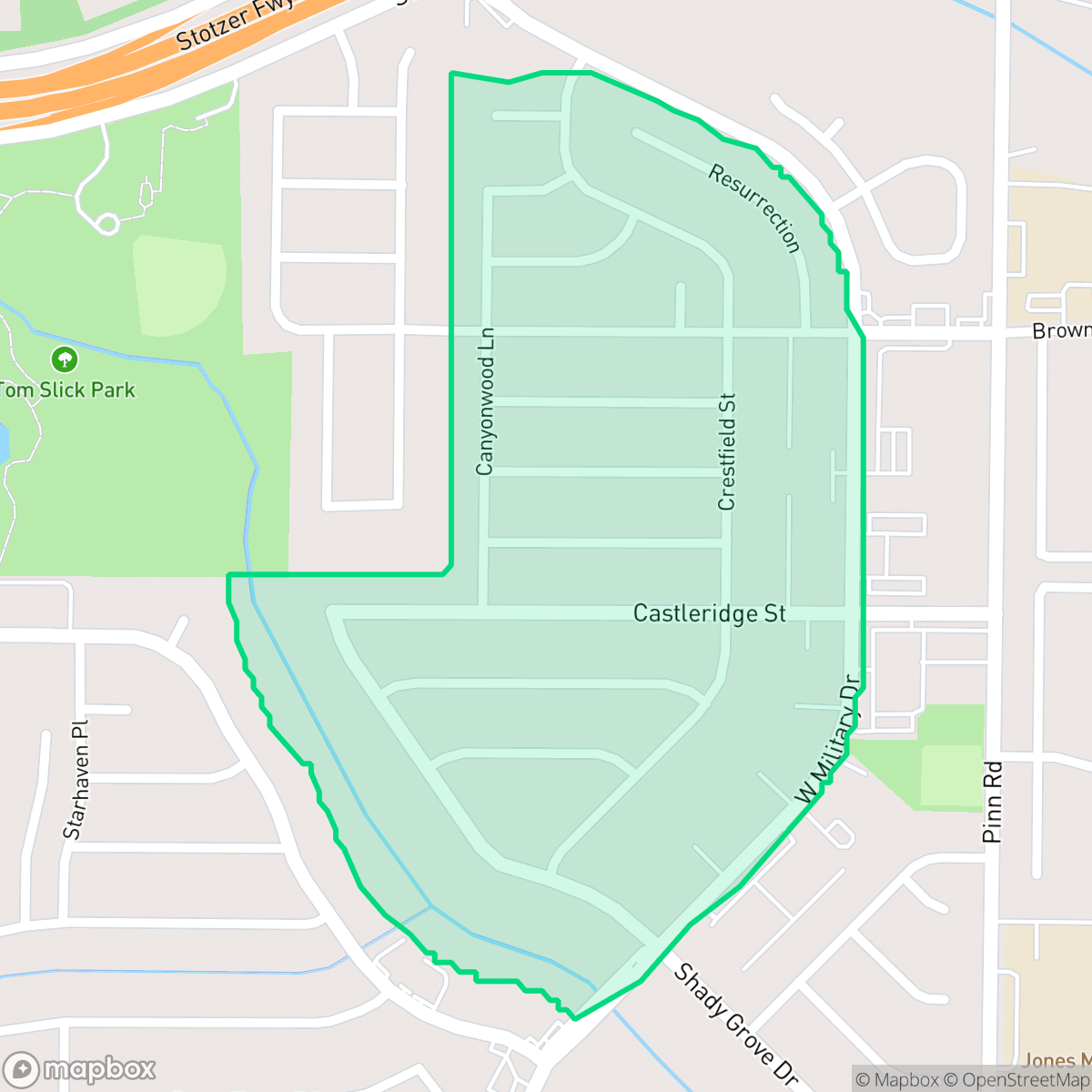
Westwood Village I is a quiet, suburban neighborhood in San Antonio characterized by standard single-family tract housing and a calm, residential atmosphere. Residents benefit from consistent sidewalk access and proximity to local green spaces, though the area is defined by its suburban density and nearby industrial infrastructure.
Key Highlights
About Westwood Village I
The neighborhood features a typical suburban layout with closely spaced homes and uniform architectural styles. Located within the Northside Independent School District, it offers families access to established educational institutions known for their collegiate preparation programs. According to iHuus data, the area maintains a relatively peaceful acoustic environment, despite its proximity to major road networks and light industrial zones, including a storage yard in the northeast quadrant.
For those considering the area, the neighborhood offers a balance of suburban stability and high flood safety, though it lacks high-intensity commercial activity or a vibrant social scene. It is best suited for individuals or families seeking a predictable, quiet environment who prioritize school district access over proximity to urban amenities. Prospective residents should note the presence of nearby industrial operations and the general suburban density that defines the local lifestyle.
Neighborhood Scores Across 15 Qualities
Residential spacing is varied, with some neighbors positioned close together while others maintain standard suburban separation. According to iHuus data, this level of density is slightly higher than the San Antonio average.
Sidewalks are available on many residential streets and main roads, though proximity to large arterials and highways can make longer pedestrian trips less convenient. This level of walkability is roughly in line with the San Antonio average, according to iHuus data.
Standard tract housing and high density apartments define the visual landscape here. The area features relatively small yards and uniform rooflines, appearing less visually diverse than the San Antonio average according to iHuus data.
Walking paths are available via continuous sidewalks and nearby undeveloped creek corridors, though public park access is limited. This level of dog friendliness is slightly below the San Antonio average according to iHuus data.
Open land and undeveloped green space are common throughout the area, providing a setting slightly more rural than the San Antonio average. This landscape features a mix of scattered homes and suburban clusters nestled among fields or woodland according to iHuus data.
Local activity levels are slightly above the San Antonio average, characterized by a calm mix of residential pockets and light industrial zones. While the area features access to parks and occasional dining, the setting remains low-density and primarily car-dependent.
Steady noise from nearby busy streets is present, though levels remain slightly more tranquil than the average for San Antonio. According to iHuus data, residents may experience a consistent hum of local traffic throughout the day.
Frequent unhealthy air quality levels pose significant risks to sensitive groups. According to iHuus data, the air quality in this area is slightly worse than the San Antonio average.
Occasional warehouses and a storage yard with heavy machinery are present in certain quadrants, resulting in more industrial activity than is typical for San Antonio. While much of the area remains residential, some residents may experience moderate noise or traffic from nearby utility infrastructure and commercial buildings.
Health insurance accessibility in this area is consistent with the San Antonio average. According to iHuus data, coverage levels among residents reflect the broader city trends.
Voting patterns and census indicators show a strong liberal leaning that is more pronounced than the San Antonio average, according to iHuus data.
Residents live alongside a balanced mix of young adults, families, and older populations. This demographic spread is slightly lower than the San Antonio average, according to iHuus data.
Flood risk levels remain undetermined because detailed federal studies for this area have not been completed. According to iHuus data, the area carries a slightly higher risk profile than the San Antonio average.
Block-Level Insights for Westwood Village I

iHuus Neighborhood Intelligence Insights
Get block-level neighborhood insights for Westwood Village I
- Street-level scores — see how individual blocks compare, not just neighborhood averages
- Micro-zone boundaries — identify quiet pockets, flood boundaries, and walkable clusters before you visit
- 15 dimensions in full — walkability, noise, air quality, school quality, insurance coverage, population age profile, urban/rural index, and more
- Boundary risk alerts — know if your address sits near a block boundary where scores drop, the kind of detail no listing will ever mention
- School insights — individual school ratings and insights, not just district-level data
- Compare before you commit — side-by-side data across neighborhoods, down to block precision
No credit card required
Compare with Any Neighborhood
| Dimension | Westwood Village I | 145 Association |
|---|---|---|
| 🚶 Walkabilityavg 6.44 | ||
| 🔊 Acoustic Comfortavg 4.07 | ||
| 🤫 Privacy Indexavg 5.75 | ||
| 🎨 Visual Appealavg 6.11 | ||
| 🐕 Dog Friendlinessavg 5.91 | ||
| 🗺️ Urban-Rural Indexavg 6.87 | ||
| ✨ Neighborhood Vibeavg 4.35 | ||
| 🏥 Health Insurance Coverageavg 5.94 | ||
| 🌿 Air Qualityavg 2.27 | ||
| 🏭 Industrial Proximityavg 8.31 | ||
| 🌊 Flood Safetyavg 4.2 | ||
| 🗳️ Ideological Leanavg 7.37 | ||
| 👥 Population Age Profileavg 4.68 | ||
| 🔥 Fire Safety | ||
| 🏫 School Quality |
Westwood Village I Rankings
School Districts Serving Westwood Village I
Northside Independent School District remains a premier educational entity in the San Antonio region, characterized by elite-tier magnet programs and high-performing terminal high schools like Brandeis and O'Connor. While the district maintains a solid academic foundation and high community demand, it is navigating a complex transition period marked by a 2026 budget deficit, teacher retention concerns, and a notable performance disparity between its high-growth suburban campuses and its struggling urban elementary schools. Overall, its operational stability and reputation for collegiate preparation maintain its status as a top-tier choice for families, though recent financial constraints and overcrowding in the Helotes corridor represent emerging risks.
Schools
School Insights for Westwood Village I
Below average outcomes; significant attendance and academic challenges.
School Insights
See what's really behind every school rating near Westwood Village I
- Individual school ratings — each school's own score with outcome context, not just a district average
- Enrollment & class size data — student-to-teacher ratio and how it compares to the state average
- Full demographics breakdown — ethnicity and gender composition for every school in the enrollment zone
- Every school in the district — all schools within the enrollment boundary ranked by rating, not just the closest one
- Grade levels & benchmarks — elementary through high school, with below/above state-average flags
No credit card required