Westlake, San Antonio
Updated June 22, 2026 · 190 residents
Westlake is a dense suburban neighborhood in San Antonio characterized by its exceptional walkability and convenient access to local dining and retail. While the area offers a vibrant social atmosphere and reliable flood safety, residents should be prepared for higher noise levels from road traffic and standard suburban density.
Key Highlights
About Westlake
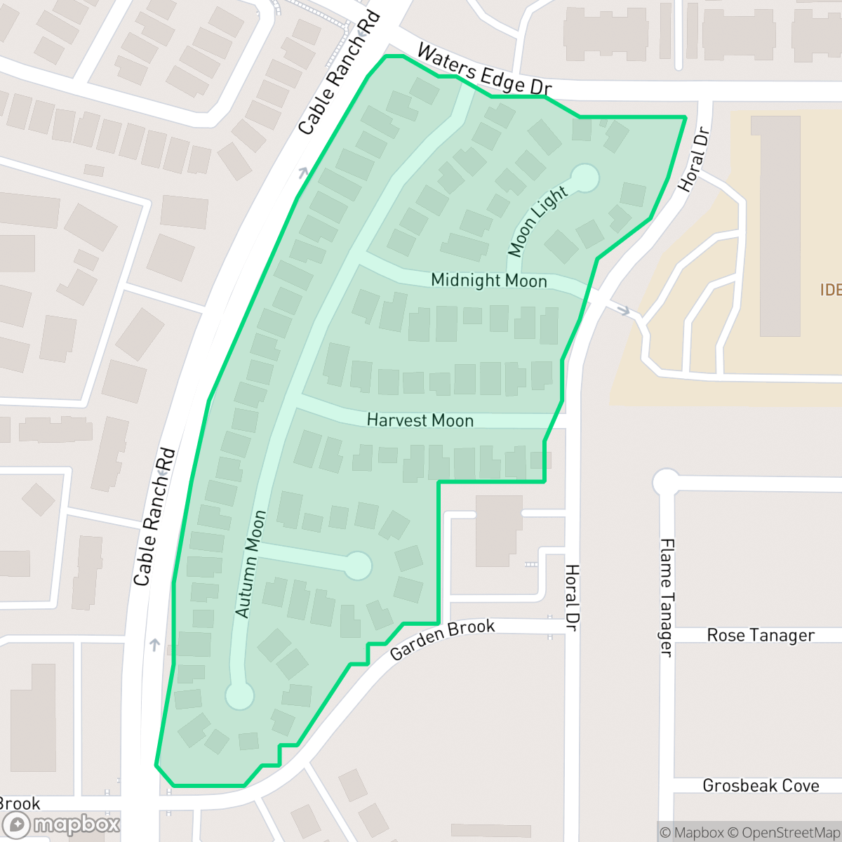
Westlake serves as a functional suburban hub, blending single-family homes and apartment complexes with a variety of commercial amenities. The area is highly accessible for pedestrians, featuring continuous sidewalks throughout the neighborhood that connect residents to local staples like Jalisco Grill, Pizza Patrón, and Dunkin'. It maintains a secure profile regarding flood safety and is free from industrial hazards, making it a stable choice for those prioritizing ease of movement and daily convenience.
Prospective residents should note that the neighborhood experiences elevated noise levels due to road traffic, which may impact acoustic comfort. The area is served by the Northside Independent School District, known for its strong academic programs, though families should consider the district's ongoing budgetary and capacity challenges. With a mix of housing types, the community is best suited for individuals or families seeking an active, walkable environment who are comfortable with the trade-offs of a busy suburban setting.
Neighborhood Scores Across 15 Qualities
Residential spacing varies throughout the area, ranging from closely positioned apartment buildings to single-family homes with moderate buffers. According to iHuus data, this level of density is slightly higher than the San Antonio average.
Sidewalks are consistently available on many residential streets and major arterials, making this area more walkable than the San Antonio average. While many paths are well-connected, some residential sidewalks are separated from commercial zones by high-traffic roads.
Standard tract housing and multi-family apartments provide a consistent visual landscape with uniform rooflines and shared amenities. According to iHuus data, the area's aesthetic appeal is roughly in line with the city average.
Public green spaces and accessible walking areas are sparse in this neighborhood, which sits below the San Antonio average. While some sections feature green buffers and small water features, most residential lots consist of private fenced yards and narrow sidewalk verges.
Open land and scattered homes amid woodland characterize this area, offering a slightly more rustic environment than the San Antonio average. Residents will find a blend of single-family tracts and dense suburban pockets according to iHuus data.
Social and dining hubs are notably more concentrated here than in the rest of San Antonio, providing a steady stream of local activity. While diverse eateries and green spaces contribute to a vibrant atmosphere, the layout remains largely car-dependent.
Persistent noise from nearby major freeways and railroad tracks defines the local acoustic environment. According to iHuus data, this level of disturbance is significantly higher than the San Antonio average.
Frequent unhealthy air quality levels pose significant risks to sensitive groups. This area experiences worse air conditions than the San Antonio average, according to iHuus data.
Industrial presence is minimal and limited to light commercial retail, though some noise from large warehouses exists near the highway. This area remains slightly more residential than the San Antonio average, according to iHuus data.
Health insurance coverage levels in Westlake are consistent with the city average. This indicates a typical distribution of-insured residents compared to other parts of San Antonio.
Political leanings in Westlake are more liberal than the San Antonio average, characterized by a significant liberal majority and a smaller conservative presence according to iHuus data.
Residents live alongside a varied demographic of young adults, families, and seniors. According to iHuus data, this age distribution is more concentrated toward specific age groups compared to the broader San Antonio average.
Flood risk in this area is slightly below the San Antonio average due to the lack of detailed FEMA studies for this specific zone. Residents should exercise caution as official flood hazard maps for this neighborhood remain undetermined according to iHuus data.
Block-Level Insights for Westlake

iHuus Neighborhood Intelligence Insights
Get block-level neighborhood insights for Westlake
- Street-level scores — see how individual blocks compare, not just neighborhood averages
- Micro-zone boundaries — identify quiet pockets, flood boundaries, and walkable clusters before you visit
- 15 dimensions in full — walkability, noise, air quality, school quality, insurance coverage, population age profile, urban/rural index, and more
- Boundary risk alerts — know if your address sits near a block boundary where scores drop, the kind of detail no listing will ever mention
- School insights — individual school ratings and insights, not just district-level data
- Compare before you commit — side-by-side data across neighborhoods, down to block precision
No credit card required
Compare with Any Neighborhood
| Dimension | Westlake | 145 Association |
|---|---|---|
| 🚶 Walkabilityavg 6.44 | ||
| 🔊 Acoustic Comfortavg 4.07 | ||
| 🤫 Privacy Indexavg 5.75 | ||
| 🎨 Visual Appealavg 6.11 | ||
| 🐕 Dog Friendlinessavg 5.91 | ||
| 🗺️ Urban-Rural Indexavg 6.87 | ||
| ✨ Neighborhood Vibeavg 4.35 | ||
| 🏥 Health Insurance Coverageavg 5.94 | ||
| 🌿 Air Qualityavg 2.27 | ||
| 🏭 Industrial Proximityavg 8.31 | ||
| 🌊 Flood Safetyavg 4.2 | ||
| 🗳️ Ideological Leanavg 7.37 | ||
| 👥 Population Age Profileavg 4.68 | ||
| 🔥 Fire Safety | ||
| 🏫 School Quality |
Westlake Rankings
School Districts Serving Westlake
Northside Independent School District remains a premier educational entity in the San Antonio region, characterized by elite-tier magnet programs and high-performing terminal high schools like Brandeis and O'Connor. While the district maintains a solid academic foundation and high community demand, it is navigating a complex transition period marked by a 2026 budget deficit, teacher retention concerns, and a notable performance disparity between its high-growth suburban campuses and its struggling urban elementary schools. Overall, its operational stability and reputation for collegiate preparation maintain its status as a top-tier choice for families, though recent financial constraints and overcrowding in the Helotes corridor represent emerging risks.
Schools
School Insights for Westlake
Below average outcomes; significant attendance and academic challenges.
School Insights
See what's really behind every school rating near Westlake
- Individual school ratings — each school's own score with outcome context, not just a district average
- Enrollment & class size data — student-to-teacher ratio and how it compares to the state average
- Full demographics breakdown — ethnicity and gender composition for every school in the enrollment zone
- Every school in the district — all schools within the enrollment boundary ranked by rating, not just the closest one
- Grade levels & benchmarks — elementary through high school, with below/above state-average flags
No credit card required