Westbury Place, San Antonio
Updated June 22, 2026 · 564 residents
Westbury Place is a dense, highly walkable suburban community in San Antonio characterized by its uniform tract housing and extensive sidewalk network. While residents enjoy convenient pedestrian access to local services, the area is notably loud due to persistent road traffic and offers limited privacy between neighboring homes.
Key Highlights
About Westbury Place
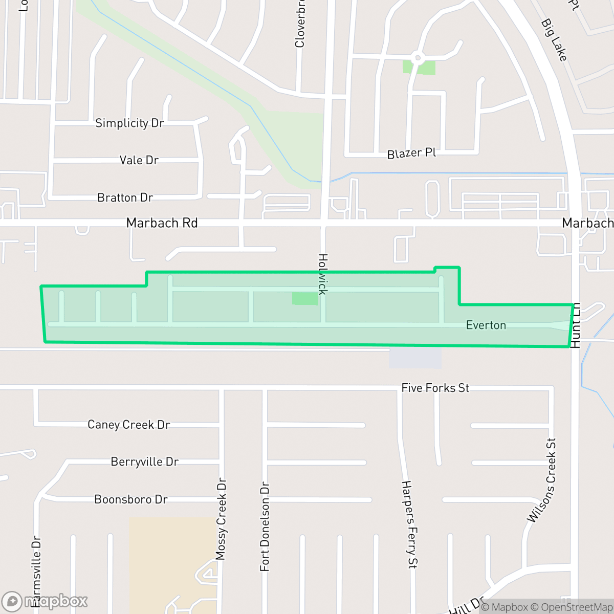
Westbury Place is a compact residential enclave defined by its high-density suburban layout, featuring single-family homes with shared fences and small, private yards. The neighborhood is distinguished by its exceptional walkability, as a comprehensive system of sidewalks and marked crossings allows residents to easily navigate between residential blocks and local amenities, such as Grace Calvary Chapel and nearby commercial services. This infrastructure makes the area particularly accessible for those who prefer to complete daily errands on foot.
Prospective residents should consider several trade-offs, as the neighborhood faces challenges with acoustic comfort and environmental factors. The area experiences significant noise levels from nearby road traffic, and the proximity to commercial utility warehouses and electrical substations contributes to its dense, industrial-adjacent character. Furthermore, the community reports concerns regarding flood safety and air quality. It is best suited for individuals who prioritize pedestrian connectivity and proximity to essential services over seclusion, and who are comfortable with the realities of a high-density suburban environment.
Neighborhood Scores Across 15 Qualities
Homes in this area feature a high-density suburban layout with relatively narrow buffers between neighbors. According to iHuus data, this level of density is higher than the San Antonio average, resulting in less separation between properties and shared fencing.
Sidewalk connectivity and clearly marked crossings throughout the residential area make much of the neighborhood accessible on foot. This level of walkability is notably higher than the San Antonio average, according to iHuus data.
Standard tract housing and mid-range apartments define the landscape, featuring uniform rooflines and tidy but small yards. This visual profile is largely consistent with the average for San Antonio.
Walking routes include wide grassy drainage corridors and residential verges, though public park access is limited. According to iHuus data, the available green space for pets is slightly below the San Antonio average.
Residential pockets feature a mix of single-family homes and apartment clusters, though some undeveloped scrubland remains on the periphery. This landscape is slightly more developed than the surrounding San Antonio area, according to iHuus data.
Suburban streets and green spaces offer a tranquil atmosphere, though the area is more car-oriented than the San Antonio average. While some local services and leisure spots are accessible by foot, most daily errands will require a vehicle.
Frequent sounds from nearby highways and rail lines characterize this area. According to iHuus data, acoustic comfort levels are notably lower than the San Antonio average.
Frequent unhealthy air quality levels pose a significant risk to sensitive groups; this area remains slightly worse than the San Antonio average according to iHuus data.
Residential life here is largely undisturbed by heavy industry, though some small warehouses and a utility substation are located near certain residential zones. This level of industrial proximity is consistent with the city average.
Health insurance coverage among Westbury Place residents is slightly below the San Antonio average. This indicates a moderate level of access to employer-sponsored or private medical plans according to iHuus data.
Political leanings in this area trend more liberal than the San Antonio average. According to iHuus data, the community maintains a liberal majority with a modest opposing presence.
Residents live alongside a balanced mix of young adults, families, and older individuals. This age distribution is largely consistent with the typical profile found across San Antonio, according to iHuus data.
Flood risk in this area remains undetermined because detailed federal studies have not yet been completed. According to iHuus data, the level of potential exposure is higher than the typical risk found across San Antonio.
Block-Level Insights for Westbury Place

iHuus Neighborhood Intelligence Insights
Get block-level neighborhood insights for Westbury Place
- Street-level scores — see how individual blocks compare, not just neighborhood averages
- Micro-zone boundaries — identify quiet pockets, flood boundaries, and walkable clusters before you visit
- 15 dimensions in full — walkability, noise, air quality, school quality, insurance coverage, population age profile, urban/rural index, and more
- Boundary risk alerts — know if your address sits near a block boundary where scores drop, the kind of detail no listing will ever mention
- School insights — individual school ratings and insights, not just district-level data
- Compare before you commit — side-by-side data across neighborhoods, down to block precision
No credit card required
Compare with Any Neighborhood
| Dimension | Westbury Place | 145 Association |
|---|---|---|
| 🚶 Walkabilityavg 6.44 | ||
| 🔊 Acoustic Comfortavg 4.07 | ||
| 🤫 Privacy Indexavg 5.75 | ||
| 🎨 Visual Appealavg 6.11 | ||
| 🐕 Dog Friendlinessavg 5.91 | ||
| 🗺️ Urban-Rural Indexavg 6.87 | ||
| ✨ Neighborhood Vibeavg 4.35 | ||
| 🏥 Health Insurance Coverageavg 5.94 | ||
| 🌿 Air Qualityavg 2.27 | ||
| 🏭 Industrial Proximityavg 8.31 | ||
| 🌊 Flood Safetyavg 4.2 | ||
| 🗳️ Ideological Leanavg 7.37 | ||
| 👥 Population Age Profileavg 4.68 | ||
| 🔥 Fire Safety | ||
| 🏫 School Quality |
Westbury Place Rankings
School Districts Serving Westbury Place
Northside Independent School District remains a premier educational entity in the San Antonio region, characterized by elite-tier magnet programs and high-performing terminal high schools like Brandeis and O'Connor. While the district maintains a solid academic foundation and high community demand, it is navigating a complex transition period marked by a 2026 budget deficit, teacher retention concerns, and a notable performance disparity between its high-growth suburban campuses and its struggling urban elementary schools. Overall, its operational stability and reputation for collegiate preparation maintain its status as a top-tier choice for families, though recent financial constraints and overcrowding in the Helotes corridor represent emerging risks.
Schools
School Insights for Westbury Place
Below average outcomes; significant attendance and academic challenges.
School Insights
See what's really behind every school rating near Westbury Place
- Individual school ratings — each school's own score with outcome context, not just a district average
- Enrollment & class size data — student-to-teacher ratio and how it compares to the state average
- Full demographics breakdown — ethnicity and gender composition for every school in the enrollment zone
- Every school in the district — all schools within the enrollment boundary ranked by rating, not just the closest one
- Grade levels & benchmarks — elementary through high school, with below/above state-average flags
No credit card required