Tierra Linda, San Antonio
Updated June 22, 2026 · 3,588 residents
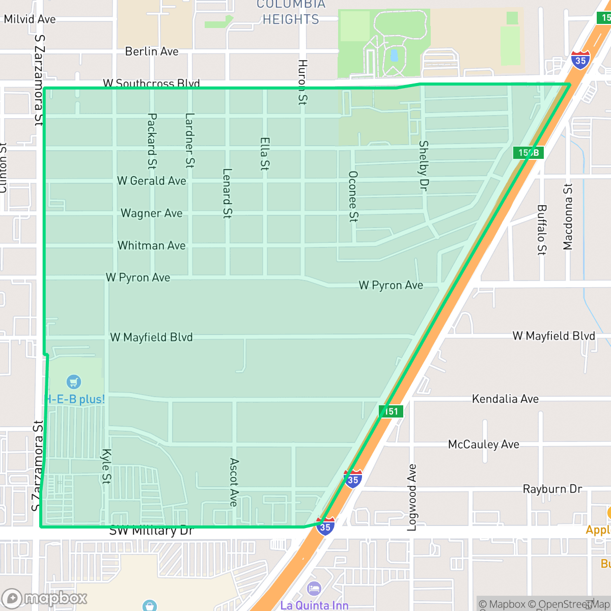
Tierra Linda is a dense suburban neighborhood in San Antonio characterized by uniform tract housing and a grid-based street layout. While the area offers convenient access to local dining and community centers, residents experience significant noise pollution from nearby highways and limited access to public green spaces.
Key Highlights
About Tierra Linda
Tierra Linda is a residential community in San Antonio featuring a dense, grid-based layout of standard single-family homes. The area maintains a calm suburban atmosphere, punctuated by the presence of light industrial units, warehouses, and rail infrastructure along its western edge. Local amenities include various dining options, such as Taqueria Jalisco, and community hubs like the Iglesia Cristiana Family Life Center, which serve as central points for the local population.
Prospective residents should consider several livability trade-offs, particularly regarding environmental factors. According to iHuus data, the area faces challenges with high noise levels primarily driven by road traffic, as well as poor flood safety ratings. The neighborhood is largely car-dependent, and while sidewalks exist, the tree canopy can sometimes obscure them. Given the lack of public parks and limited private yard space, the area may be less suitable for those prioritizing outdoor recreation or pet ownership. Educational options are served by the Harlandale and South San Antonio independent school districts, both of which are currently navigating significant operational and academic transitions.
Neighborhood Scores Across 15 Qualities
Residential lots feature standard suburban spacing with some buffer between neighbors, though density levels are slightly higher than the San Antonio average according to iHuus data.
Low-traffic residential streets and a grid layout provide opportunities for safe walking, though a major highway creates a significant pedestrian barrier. While some sidewalks are present, the overall walkability is slightly below the San Antonio average due to missing infrastructure in certain sections.
Modest, high-density tract housing dominates the landscape, featuring small yards and uniform rooflines. This residential layout offers less visual variety and fewer luxury amenities than the San Antonio average.
Public park access is restricted to a few small athletic fields, as most greenery in the area is contained within private fenced yards. This lack of accessible open space makes the neighborhood less dog friendly than the San Antonio average, according to iHuus data.
Residential streets and green spaces exist in relatively equal measure, though the area feels less urbanized than the San Antonio average. According to iHuus data, the landscape transitions between single-family homes and larger industrial or warehouse blocks.
Local dining and essential services provide a steady level of activity that is slightly higher than the San Antonio average. While many areas offer a mix of residential life and social spots, much of the neighborhood's vibrancy is centered around car-dependent corridors near major highways and transit lines.
Persistent noise from nearby freeways and transit corridors makes this area significantly louder than the San Antonio average. Residents should expect regular auditory disturbances from heavy traffic and industrial activity.
Frequent unhealthy air quality levels pose a significant risk to sensitive groups. According to iHuus data, conditions in Tierra Linda are worse than the average for San Antonio.
Warehouse zones and a rail line border parts of the area, making the industrial density slightly higher than the city average. While much of the neighborhood is residential, certain sections contain large commercial sheds and an area undergoing environmental assessment according to iHuus data.
Health insurance accessibility is notably lower than the San Antonio average, according to iHuus data. Residents may find fewer options for employer-sponsored coverage within the immediate area.
Voting patterns and census indicators show a predominantly liberal leaning, which is notably more pronounced than the San Antonio average according to iHuus data.
Residents live alongside a balanced distribution of young professionals, families, and seniors. This demographic spread is consistent with the typical age profile found across San Antonio.
Significant flood hazards and potential for wave action characterize this area, making it much more vulnerable to flooding than the San Antonio average. Residents should expect elevated or prohibitive insurance costs according to iHuus data.
Block-Level Insights for Tierra Linda

iHuus Neighborhood Intelligence Insights
Get block-level neighborhood insights for Tierra Linda
- Street-level scores — see how individual blocks compare, not just neighborhood averages
- Micro-zone boundaries — identify quiet pockets, flood boundaries, and walkable clusters before you visit
- 15 dimensions in full — walkability, noise, air quality, school quality, insurance coverage, population age profile, urban/rural index, and more
- Boundary risk alerts — know if your address sits near a block boundary where scores drop, the kind of detail no listing will ever mention
- School insights — individual school ratings and insights, not just district-level data
- Compare before you commit — side-by-side data across neighborhoods, down to block precision
No credit card required
Compare with Any Neighborhood
| Dimension | Tierra Linda | 145 Association |
|---|---|---|
| 🚶 Walkabilityavg 6.44 | ||
| 🔊 Acoustic Comfortavg 4.07 | ||
| 🤫 Privacy Indexavg 5.75 | ||
| 🎨 Visual Appealavg 6.11 | ||
| 🐕 Dog Friendlinessavg 5.91 | ||
| 🗺️ Urban-Rural Indexavg 6.87 | ||
| ✨ Neighborhood Vibeavg 4.35 | ||
| 🏥 Health Insurance Coverageavg 5.94 | ||
| 🌿 Air Qualityavg 2.27 | ||
| 🏭 Industrial Proximityavg 8.31 | ||
| 🌊 Flood Safetyavg 4.2 | ||
| 🗳️ Ideological Leanavg 7.37 | ||
| 👥 Population Age Profileavg 4.68 | ||
| 🔥 Fire Safety | ||
| 🏫 School Quality |
Tierra Linda Rankings
School Districts Serving Tierra Linda
Harlandale ISD is currently a district in transition, earning a '3' due to its status as a recovering organization with a starkly bifurcated academic portfolio. While it boasts a premier STEM Early College High School, its primary high schools are underperforming, and several elementary campuses show significant academic distress. The district has recently stabilized its finances through difficult school consolidations and has seen modest gains in early literacy; however, these improvements are balanced against aging facilities, high teacher burnout, and lingering community resentment over school closures. The current leadership appears to be making prudent fiscal choices, but the district has yet to translate these operational stabilizes into consistent academic excellence across its traditional feeder patterns.
Schools
South San Antonio Independent School District is currently classified as a Distressed district due to significant financial and operational instability. While the district maintains several high-performing elementary schools and a standout vocational/CTE program that garners community praise, these successes are overshadowed by a multi-million dollar budget deficit, declining enrollment exceeding 5%, and the looming threat of campus closures. The district’s reliance on state monitors to manage academic progress and the sharp decline in performance at the middle and high school levels indicate systemic challenges. Despite the dedication of individual educators and robust security upgrades, the combination of administrative turnover and fiscal 'right-sizing' creates a volatile environment that undermines long-term institutional stability.
Schools
School Insights for Tierra Linda
Below average outcomes; significant attendance and academic challenges.
School Insights
See what's really behind every school rating near Tierra Linda
- Individual school ratings — each school's own score with outcome context, not just a district average
- Enrollment & class size data — student-to-teacher ratio and how it compares to the state average
- Full demographics breakdown — ethnicity and gender composition for every school in the enrollment zone
- Every school in the district — all schools within the enrollment boundary ranked by rating, not just the closest one
- Grade levels & benchmarks — elementary through high school, with below/above state-average flags
No credit card required