The Enclave at Laurel Canyon, San Antonio
Updated June 22, 2026 · 798 residents
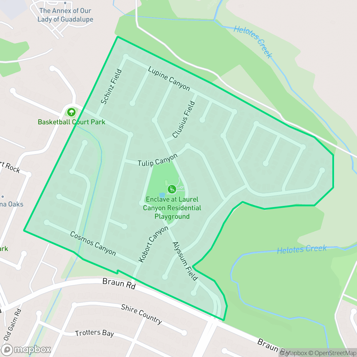
The Enclave at Laurel Canyon is a quiet, residential community in San Antonio featuring modern homes and abundant green space. With high walkability and well-maintained sidewalks, the area offers a peaceful environment for residents, according to iHuus data.
Key Highlights
About The Enclave at Laurel Canyon
The Enclave at Laurel Canyon is a planned residential community characterized by large, modern single-family homes and a strong emphasis on natural surroundings. The neighborhood is situated within the Northside Independent School District, providing families access to well-regarded educational institutions. The area maintains a distinct suburban feel, with significant tree canopy and natural wooded buffers that separate residential lots from busy thoroughfares.
While the neighborhood provides a high level of acoustic comfort and safety from industrial hazards, it is intentionally quiet with limited social or commercial density. Residents benefit from high health insurance coverage rates and a low risk of flooding. This area is well-suited for those who prioritize a calm, pet-friendly environment over proximity to urban nightlife or commercial centers. According to iHuus, the neighborhood's layout encourages pedestrian activity, making it a functional choice for those who value daily walks in a green, suburban setting.
Neighborhood Scores Across 15 Qualities
Homes feature mixed spacing with some distance between neighbors, slightly higher than the San Antonio average. Residents can expect a moderate level of density, particularly near forest edges where lots tend to be larger.
Pedestrian movement is facilitated by a developed sidewalk network and safe crossings throughout most residential streets. This level of accessibility is notably higher than the San Antonio average, according to iHuus data.
Large modern homes with private pools and expansive driveways define the area, offering a more manicured landscape than the San Antonio average according to iHuus data.
Wide paths and abundant green buffers between sidewalks and roads provide a safe walking environment for pets. According to iHuus data, these connected green spaces and nearby wooded areas offer significantly more space for outdoor activity than the San Antonio average.
Open land and woodland areas are common here, though the landscape features a mix of residential subdivisions and industrial sites. This level of openness is slightly lower than the San Antonio average according to iHuus data.
Minimal commercial activity and a lack of local destinations define this area. According to iHuus data, the landscape is primarily residential and rural, offering far less local energy and business access than the San Antonio average.
Steady traffic noise from a nearby busy street is present, though the acoustic environment remains slightly more tranquil than the San Antonio average according to iHuus data.
Frequent periods of unhealthy air levels pose significant risks to sensitive groups. According to iHuus data, air quality in this area is slightly worse than the San Antonio average.
Predominantly residential streets and wooded areas define the neighborhood, though some residents near the northern edge may experience noise and dust from a nearby quarry operation. This level of industrial proximity is slightly lower than the San Antonio average according to iHuus data.
Health insurance enrollment is exceptionally high among residents, significantly surpassing the San Antonio average according to iHuus data.
Political leanings in this area are evenly split, making the community more moderate than the more heavily liberal leaning average seen across San Antonio.
Residents live alongside a varied demographic of young adults, families, and seniors. This age distribution is slightly lower than the San Antonio average, according to iHuus data.
Flood risk in this area is higher than the San Antonio average, though a detailed FEMA study has not yet been completed for this specific location. Residents should remain aware of potential uncertainty regarding official flood zone classifications according to iHuus data.
Block-Level Insights for The Enclave at Laurel Canyon

iHuus Neighborhood Intelligence Insights
Get block-level neighborhood insights for The Enclave at Laurel Canyon
- Street-level scores — see how individual blocks compare, not just neighborhood averages
- Micro-zone boundaries — identify quiet pockets, flood boundaries, and walkable clusters before you visit
- 15 dimensions in full — walkability, noise, air quality, school quality, insurance coverage, population age profile, urban/rural index, and more
- Boundary risk alerts — know if your address sits near a block boundary where scores drop, the kind of detail no listing will ever mention
- School insights — individual school ratings and insights, not just district-level data
- Compare before you commit — side-by-side data across neighborhoods, down to block precision
No credit card required
Compare with Any Neighborhood
| Dimension | The Enclave at Laurel Canyon | 145 Association |
|---|---|---|
| 🚶 Walkabilityavg 6.44 | ||
| 🔊 Acoustic Comfortavg 4.07 | ||
| 🤫 Privacy Indexavg 5.75 | ||
| 🎨 Visual Appealavg 6.11 | ||
| 🐕 Dog Friendlinessavg 5.91 | ||
| 🗺️ Urban-Rural Indexavg 6.87 | ||
| ✨ Neighborhood Vibeavg 4.35 | ||
| 🏥 Health Insurance Coverageavg 5.94 | ||
| 🌿 Air Qualityavg 2.27 | ||
| 🏭 Industrial Proximityavg 8.31 | ||
| 🌊 Flood Safetyavg 4.2 | ||
| 🗳️ Ideological Leanavg 7.37 | ||
| 👥 Population Age Profileavg 4.68 | ||
| 🔥 Fire Safety | ||
| 🏫 School Quality |
The Enclave at Laurel Canyon Rankings
School Districts Serving The Enclave at Laurel Canyon
Northside Independent School District remains a premier educational entity in the San Antonio region, characterized by elite-tier magnet programs and high-performing terminal high schools like Brandeis and O'Connor. While the district maintains a solid academic foundation and high community demand, it is navigating a complex transition period marked by a 2026 budget deficit, teacher retention concerns, and a notable performance disparity between its high-growth suburban campuses and its struggling urban elementary schools. Overall, its operational stability and reputation for collegiate preparation maintain its status as a top-tier choice for families, though recent financial constraints and overcrowding in the Helotes corridor represent emerging risks.
Schools
School Insights for The Enclave at Laurel Canyon
Below average outcomes; significant attendance and academic challenges.
School Insights
See what's really behind every school rating near The Enclave at Laurel Canyon
- Individual school ratings — each school's own score with outcome context, not just a district average
- Enrollment & class size data — student-to-teacher ratio and how it compares to the state average
- Full demographics breakdown — ethnicity and gender composition for every school in the enrollment zone
- Every school in the district — all schools within the enrollment boundary ranked by rating, not just the closest one
- Grade levels & benchmarks — elementary through high school, with below/above state-average flags
No credit card required