Sunrise Neighborhood Coalition, San Antonio
Updated June 22, 2026 · 6,884 residents
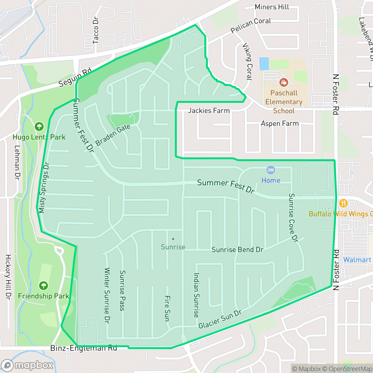
The Sunrise Neighborhood Coalition is a residential community in San Antonio characterized by uniform suburban tract housing and a quiet, low-traffic atmosphere. While the area offers a consistent grid of streets with sidewalks, residents have limited access to walkable commercial amenities and public park space.
Key Highlights
About Sunrise Neighborhood Coalition
The neighborhood consists of dense, middle-class suburban development featuring standard architectural rooflines and modest lot sizes. Located in an area that balances residential streets with nearby industrial warehouses and rail corridors, the community maintains a steady and predictable rhythm of daily life. The landscape is defined by its suburban structure, where homes are positioned with uniform setbacks, creating a consistent visual aesthetic throughout the local grid.
Prospective residents should consider the trade-offs of living in this suburban environment, which include a lack of nearby leisure businesses and limited public green space. While the area is relatively quiet in terms of noise levels, it is situated near industrial zones that influence the local environment. The neighborhood is served by the Judson Independent School District, which offers diverse vocational and magnet programs despite facing broader administrative and fiscal challenges. This area is best suited for those prioritizing a quiet, residential setting over proximity to urban entertainment or extensive outdoor recreation.
Neighborhood Scores Across 15 Qualities
Residential spacing is moderately dense with homes situated relatively close to one another. According to iHuus data, the level of separation between neighbors is slightly lower than the San Antonio average.
Sidewalks are consistently available on many residential streets, though high-traffic arterial roads can fragment the local layout. According to iHuus data, connectivity to commercial areas is somewhat limited despite the presence of safe crossings and low-traffic cul-de-sacs.
Standard tract housing dominates the landscape, featuring consistent rooflines and compact yards. According to iHuus data, the visual variety in this area is slightly below the San Antonio average.
Public park access and wide grassy verges are sparse, with most greenery concentrated in private backyards. This area is less dog friendly than the San Antonio average due to the lack of continuous sidewalks with wide verges or accessible community parks.
Open land and undeveloped brush are common throughout the area, providing a landscape that is largely comparable to the San Antonio average. Residential pockets vary from dense suburban developments to scattered homes set among fields or woodlands.
Local activity is primarily centered around light industrial units and essential retail, making most social destinations accessible only by vehicle. The area features a subdued atmosphere that is less active than the typical San Antonio neighborhood.
Steady sounds from nearby busy streets are present, though levels are quieter than the San Antonio average. According to iHuus data, the acoustic environment remains relatively stable for the area.
Unhealthy air quality levels occur frequently in this area. According to iHuus data, these conditions are slightly worse than the typical levels found across San Antonio.
Residential life remains largely undisturbed by heavy industry, though some proximity to warehouses and rail corridors exists. This level of commercial activity is lower than the city average for San Antonio.
Health insurance access is relatively high among residents, appearing more widespread here than across the broader San Antonio area according to iHuus data.
Political leanings in this area favor liberal perspectives more strongly than the San Antonio average. Residents may find a community presence that leans toward progressive values according to iHuus data.
A balanced mix of young adults, families, and seniors defines the local community. This age distribution is slightly lower than the San Antonio average according to iHuus data.
Flood risk in this area is higher than the San Antonio average, though current assessments remain undetermined due to incomplete federal studies. Residents should remain cautious as localized flooding potential exists despite the lack of a detailed FEMA study.
Block-Level Insights for Sunrise Neighborhood Coalition

iHuus Neighborhood Intelligence Insights
Get block-level neighborhood insights for Sunrise Neighborhood Coalition
- Street-level scores — see how individual blocks compare, not just neighborhood averages
- Micro-zone boundaries — identify quiet pockets, flood boundaries, and walkable clusters before you visit
- 15 dimensions in full — walkability, noise, air quality, school quality, insurance coverage, population age profile, urban/rural index, and more
- Boundary risk alerts — know if your address sits near a block boundary where scores drop, the kind of detail no listing will ever mention
- School insights — individual school ratings and insights, not just district-level data
- Compare before you commit — side-by-side data across neighborhoods, down to block precision
No credit card required
Compare with Any Neighborhood
| Dimension | Sunrise Neighborhood Coalition | 145 Association |
|---|---|---|
| 🚶 Walkabilityavg 6.44 | ||
| 🔊 Acoustic Comfortavg 4.07 | ||
| 🤫 Privacy Indexavg 5.75 | ||
| 🎨 Visual Appealavg 6.11 | ||
| 🐕 Dog Friendlinessavg 5.91 | ||
| 🗺️ Urban-Rural Indexavg 6.87 | ||
| ✨ Neighborhood Vibeavg 4.35 | ||
| 🏥 Health Insurance Coverageavg 5.94 | ||
| 🌿 Air Qualityavg 2.27 | ||
| 🏭 Industrial Proximityavg 8.31 | ||
| 🌊 Flood Safetyavg 4.2 | ||
| 🗳️ Ideological Leanavg 7.37 | ||
| 👥 Population Age Profileavg 4.68 | ||
| 🔥 Fire Safety | ||
| 🏫 School Quality |
Sunrise Neighborhood Coalition Rankings
School Districts Serving Sunrise Neighborhood Coalition
Judson Independent School District is currently characterized by a sharp academic divide and significant operational transitions. While the district excels in vocational training, CTE programs, and elite magnet options like JECA, its comprehensive middle and elementary schools show inconsistent performance with several campuses underperforming state averages. The district is actively managing a budget deficit and declining enrollment through school consolidations and facility 'right-sizing,' which has created a climate of community anxiety. Despite these fiscal and academic challenges, strong 'Judson Pride' remains through successful athletics and extracurriculars, and leadership is taking proactive steps toward security and workforce readiness, positioning the district as a stable but middle-tier organization.
Schools
School Insights for Sunrise Neighborhood Coalition
Below average outcomes; significant attendance and academic challenges.
School Insights
See what's really behind every school rating near Sunrise Neighborhood Coalition
- Individual school ratings — each school's own score with outcome context, not just a district average
- Enrollment & class size data — student-to-teacher ratio and how it compares to the state average
- Full demographics breakdown — ethnicity and gender composition for every school in the enrollment zone
- Every school in the district — all schools within the enrollment boundary ranked by rating, not just the closest one
- Grade levels & benchmarks — elementary through high school, with below/above state-average flags
No credit card required