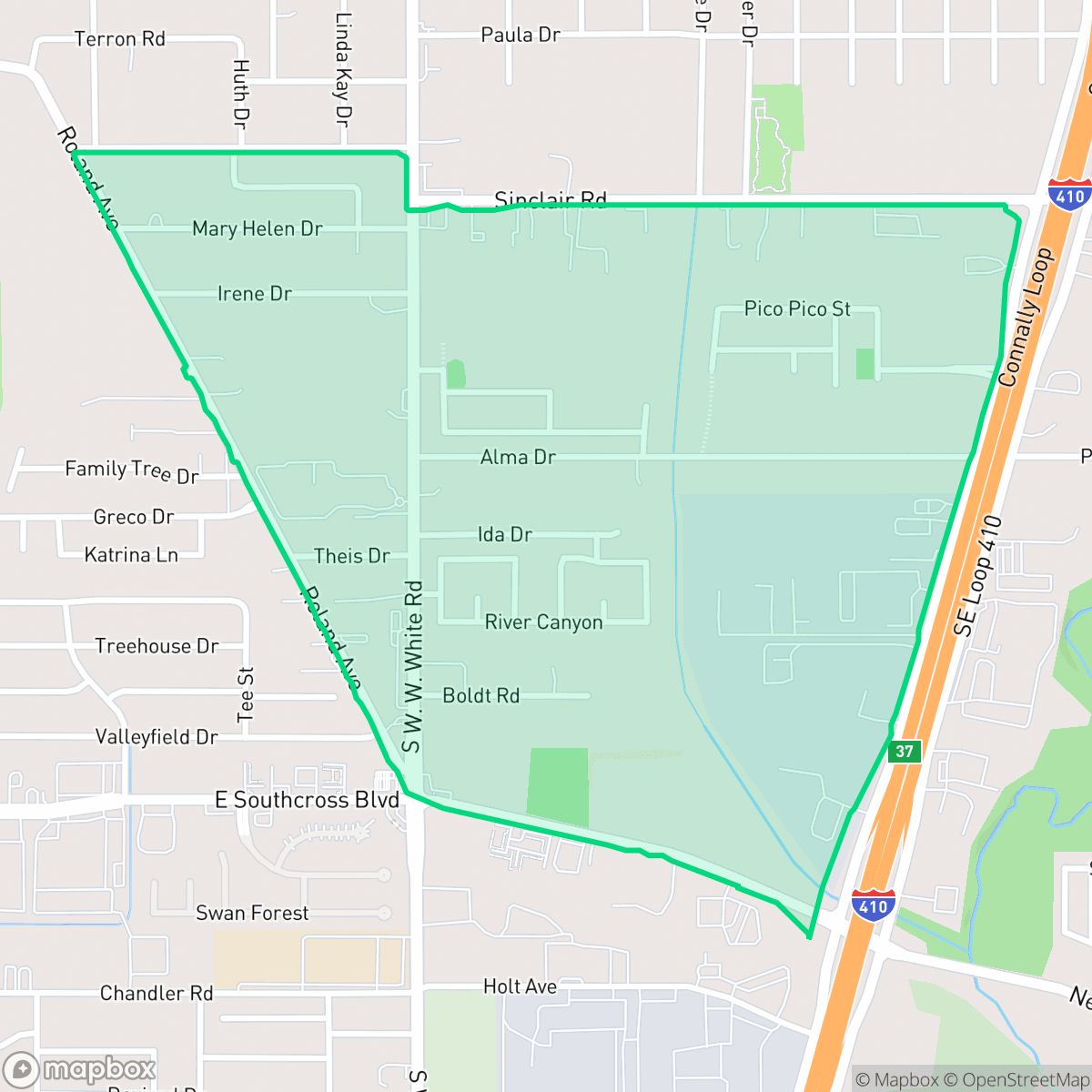
Lower Southeast Side, San Antonio
Updated June 22, 2026 · 1,574 residents
The Lower Southeast Side is a quiet, industrial-adjacent neighborhood characterized by its mid-century residential roots and proximity to expansive green spaces like the Salado Creek Greenway. While the area offers stable health insurance coverage and access to notable local dining, residents should expect significant road traffic noise and limited walkability.
Key Highlights
About Lower Southeast Side
Originally a region of farmland and pasture settled by Silesian, Czech, Polish, and Belgian agriculturalists in the late 1800s, the Lower Southeast Side of San Antonio was annexed by the city between 1944 and 1957. This expansion extended San Antonio’s limits toward Interstate Loop 410 and transformed the area into a suburban residential community. The neighborhood’s architectural character is defined by mid-century single-family homes and small apartment buildings constructed primarily between 1940 and 1969. Bordered by expansive green spaces like Comanche Park, South Side Lions Park, and the Salado Creek Greenway, the area retains a strong working-class identity. It is also celebrated for local culinary landmarks, including Big Lou's Pizza and the highly acclaimed 2M Smokehouse.
The area functions as a blend of residential clusters and active logistics corridors, resulting in a landscape dominated by light industrial units and freight traffic. Residents benefit from the stability of the East Central Independent School District, which is recognized for its strong financial health and focus on career readiness. The neighborhood maintains a distinct, quiet atmosphere, though this is frequently punctuated by the sounds of heavy commercial vehicles moving through the region. Prospective residents should be aware that the neighborhood presents specific trade-offs regarding the daily environment. The area experiences high levels of road noise and poor air quality, and it is situated in a zone with limited flood safety, necessitating careful consideration for property location. It is best suited for those who prioritize proximity to major transit routes and established school districts over pedestrian-friendly amenities or a highly active commercial scene.
Neighborhood Scores Across 15 Qualities
Large lots with significant separation between homes provide more privacy than is typical for San Antonio. According to iHuus data, this area offers a higher degree of seclusion than the city average.
Quiet streets provide a calm environment for walking, but the lack of sidewalks makes pedestrian navigation less convenient than the San Antonio average. According to iHuus data, the neighborhood remains navigable for those comfortable walking along the edge of roadways.
Standard tract housing dominates the landscape with simple rooflines and modest yard spaces. This visual character is slightly below the San Antonio average for aesthetic variety.
Access to public parks and green verges is less frequent here than in the rest of San Antonio. According to iHuus data, owners may find fewer immediate opportunities for off-leash exercise within the immediate neighborhood.
Open land and scattered residential clusters provide a more open, semi-rural feel than the typical San Antonio urban landscape. According to iHuus data, the area contains significant patches of field and woodland interspersed with industrial and commercial pockets.
Low-density industrial zones and freight corridors create a subdued atmosphere with significantly less activity than the San Antonio average. Local life is characterized by scattered dining options and a car-dependent landscape that lacks a concentrated commercial center.
Persistent sound from nearby freight rail lines and major freeway traffic creates a noisier environment than the San Antonio average. Residents may experience frequent auditory disturbances from these transportation corridors.
Frequent unhealthy air quality levels pose significant risks to sensitive groups. This area's air quality is slightly worse than the San Antonio average, according to iHuus data.
Residential life remains the primary character here, though residents may encounter occasional light commercial activity. According to iHuus data, there is a slightly higher presence of industrial-related traffic and facilities compared to the San Antonio average.
Health insurance coverage is lower than the San Antonio average, which may impact access to certain medical services. Residents should account for this gap in coverage when planning for healthcare needs in the area.
Political leanings in this area trend more liberal than the San Antonio average, according to iHuus data.
Residents will find a balanced mix of young adults, families, and older individuals. According to iHuus data, this age distribution is slightly more varied than the average seen across San Antonio.
Flood risk levels in this area remain uncertain because official federal studies are not yet complete. This lack of detailed data places the neighborhood slightly below the San Antonio average for flood safety certainty.
Block-Level Insights for Lower Southeast Side

iHuus Neighborhood Intelligence Insights
Get block-level neighborhood insights for Lower Southeast Side
- Street-level scores — see how individual blocks compare, not just neighborhood averages
- Micro-zone boundaries — identify quiet pockets, flood boundaries, and walkable clusters before you visit
- 15 dimensions in full — walkability, noise, air quality, school quality, insurance coverage, population age profile, urban/rural index, and more
- Boundary risk alerts — know if your address sits near a block boundary where scores drop, the kind of detail no listing will ever mention
- School insights — individual school ratings and insights, not just district-level data
- Compare before you commit — side-by-side data across neighborhoods, down to block precision
No credit card required
Compare with Any Neighborhood
| Dimension | Lower Southeast Side | 145 Association |
|---|---|---|
| 🚶 Walkabilityavg 6.44 | ||
| 🔊 Acoustic Comfortavg 4.07 | ||
| 🤫 Privacy Indexavg 5.75 | ||
| 🎨 Visual Appealavg 6.11 | ||
| 🐕 Dog Friendlinessavg 5.91 | ||
| 🗺️ Urban-Rural Indexavg 6.87 | ||
| ✨ Neighborhood Vibeavg 4.35 | ||
| 🏥 Health Insurance Coverageavg 5.94 | ||
| 🌿 Air Qualityavg 2.27 | ||
| 🏭 Industrial Proximityavg 8.31 | ||
| 🌊 Flood Safetyavg 4.2 | ||
| 🗳️ Ideological Leanavg 7.37 | ||
| 👥 Population Age Profileavg 4.68 | ||
| 🔥 Fire Safety | ||
| 🏫 School Quality |
Lower Southeast Side Rankings
School Districts Serving Lower Southeast Side
East Central ISD is a solid and stable district characterized by elite elementary performance and exceptional financial management. While the district's high schools currently perform at an average level, the organization is successfully navigating extreme demographic growth through proactive facility expansion and strong community financial support. With a perfect state financial rating, a clear strategic emphasis on Career and Technical Education, and record-breaking academic growth at the primary level, the district exhibits high operational health and represents a low-risk, high-growth educational entity.
Schools
School Insights for Lower Southeast Side
Below average outcomes; significant attendance and academic challenges.
School Insights
See what's really behind every school rating near Lower Southeast Side
- Individual school ratings — each school's own score with outcome context, not just a district average
- Enrollment & class size data — student-to-teacher ratio and how it compares to the state average
- Full demographics breakdown — ethnicity and gender composition for every school in the enrollment zone
- Every school in the district — all schools within the enrollment boundary ranked by rating, not just the closest one
- Grade levels & benchmarks — elementary through high school, with below/above state-average flags
No credit card required