Harvard Place - Eastlawn, San Antonio
Updated June 22, 2026 · 5,925 residents
Harvard Place - Eastlawn is a historic San Antonio community defined by its grid-based street layout and proximity to major transit corridors like Interstate 10 and Interstate 35. Residents benefit from a quiet, low-density urban atmosphere with accessible green space, though the area faces specific challenges regarding flood safety and industrial proximity.
Key Highlights
About Harvard Place - Eastlawn
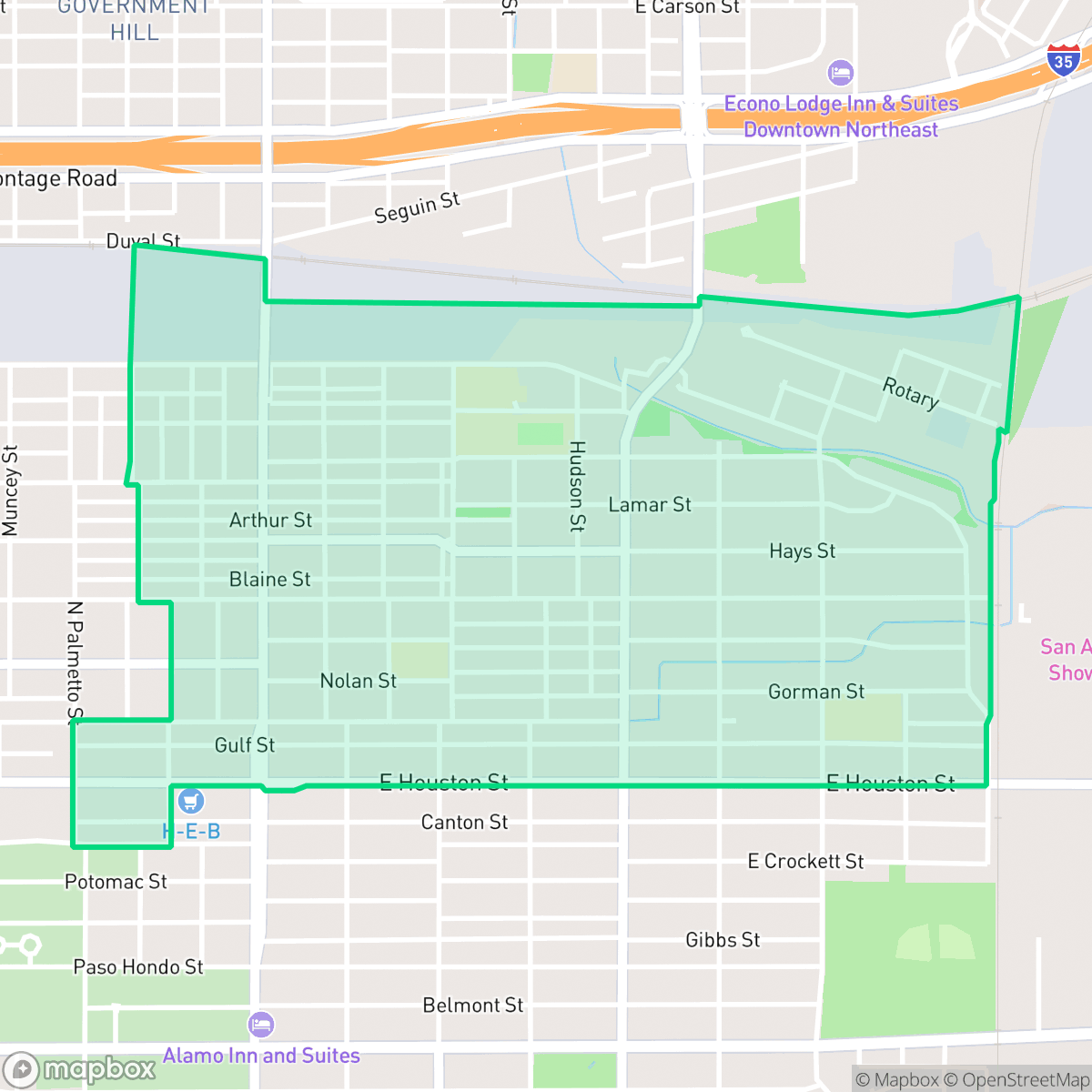
Located on San Antonio's East Side, the Harvard Place - Eastlawn neighborhood is a historic community characterized by early 20th-century craftsman-style homes and bungalows. Originally established as a predominantly Anglo enclave, the neighborhood underwent a demographic shift mid-century to become a largely African-American community, and later transitioned to a primarily Hispanic population. A cornerstone of this community is the Antioch Baptist Church, founded in 1935. Culturally, the neighborhood was defined by local hubs like Webb’s Eastlawn Food Center, opened in 1980 at Gorman and Grimes streets by Joe Webb Sr., San Antonio's first Black H-E-B manager and a future city councilman. Bordered by Interstate 10 and Interstate 35, the area sits near Martin Luther King Park and Lincoln Park, representing a vital corridor of East Side history.
This neighborhood serves as a vital corridor on the East Side, blending residential life with light commercial and industrial activity. The area features a consistent grid of single-family homes and bungalows, providing a quiet, low-density urban environment. Local amenities include neighborhood staples such as Taqueria Mi Chapala Jalisco and Bill Miller Bar-B-Q, while nearby green spaces like Martin Luther King Park and Lincoln Park offer residents shaded areas for outdoor activity.
Prospective residents should consider the area's specific livability profile. While the neighborhood offers solid connectivity to the city's highway system, it faces notable challenges, including significant flood safety concerns and air quality levels that remain below the city average. The local school landscape is currently undergoing a major transition within the San Antonio Independent School District, which includes a mix of struggling campuses and high-performing options like the Young Men's Leadership Academy. This area is best suited for those prioritizing highway access and a quiet, established residential character over proximity to high-density commercial centers.
Neighborhood Scores Across 15 Qualities
Residential lots feature a moderate level of density with houses positioned relatively close to one another. This degree of spacing is roughly comparable to the average across San Antonio.
Low traffic volumes and a grid layout facilitate safe pedestrian movement, though sidewalk availability varies across the area. This level of accessibility is roughly comparable to the San Antonio average.
Residential views consist of simple, repetitive rooflines and compact lots with minimal yard space. This area features lower visual variety than the San Antonio average, according to iHuus data.
Shaded residential streets and nearby school tracks offer decent walking routes, though overall access to green space is slightly below the San Antonio average. Local access to larger parks with trails and sports fields provides some variety for pet owners.
Residential layouts vary from dense suburban grids to areas featuring large-scale industrial warehouses. This environment is slightly less open than the San Antonio average, as noted by iHuus data.
A low level of activity characterizes this area, which primarily serves as a quiet, suburban and light industrial landscape. According to iHuus data, the neighborhood's social energy is below the San Antonio average, as most local dining and essential services require a vehicle to access.
Steady noise from nearby busy streets is present, though acoustic comfort levels remain higher than the San Antonio average according to iHuus data.
Frequent unhealthy air quality levels pose a significant risk to sensitive groups. According to iHuus data, these conditions are slightly worse than the San Antonio average.
Logistics hubs and active rail corridors along the northern and eastern edges introduce some noise and heavy truck traffic. This level of industrial proximity is higher than the typical San Antonio residential area according to iHuus data.
Health insurance accessibility is notably lower than the San Antonio average. Residents may face greater challenges accessing employer-sponsored or private coverage according to iHuus data.
Voting patterns and census indicators show a predominantly liberal political leaning that is significantly more pronounced than the San Antonio average, according to iHuus data.
Residents live alongside a balanced mix of young adults, families, and older individuals; this demographic spread is slightly lower than the San Antonio average according to iHuus data.
Flood risk is elevated in this area due to its location within a 100-year floodplain; according to iHuus data, this level of risk is notably higher than the San Antonio average.
Block-Level Insights for Harvard Place - Eastlawn

iHuus Neighborhood Intelligence Insights
Get block-level neighborhood insights for Harvard Place - Eastlawn
- Street-level scores — see how individual blocks compare, not just neighborhood averages
- Micro-zone boundaries — identify quiet pockets, flood boundaries, and walkable clusters before you visit
- 15 dimensions in full — walkability, noise, air quality, school quality, insurance coverage, population age profile, urban/rural index, and more
- Boundary risk alerts — know if your address sits near a block boundary where scores drop, the kind of detail no listing will ever mention
- School insights — individual school ratings and insights, not just district-level data
- Compare before you commit — side-by-side data across neighborhoods, down to block precision
No credit card required
Compare with Any Neighborhood
| Dimension | Harvard Place - Eastlawn | 145 Association |
|---|---|---|
| 🚶 Walkabilityavg 6.44 | ||
| 🔊 Acoustic Comfortavg 4.07 | ||
| 🤫 Privacy Indexavg 5.75 | ||
| 🎨 Visual Appealavg 6.11 | ||
| 🐕 Dog Friendlinessavg 5.91 | ||
| 🗺️ Urban-Rural Indexavg 6.87 | ||
| ✨ Neighborhood Vibeavg 4.35 | ||
| 🏥 Health Insurance Coverageavg 5.94 | ||
| 🌿 Air Qualityavg 2.27 | ||
| 🏭 Industrial Proximityavg 8.31 | ||
| 🌊 Flood Safetyavg 4.2 | ||
| 🗳️ Ideological Leanavg 7.37 | ||
| 👥 Population Age Profileavg 4.68 | ||
| 🔥 Fire Safety | ||
| 🏫 School Quality |
Harvard Place - Eastlawn Rankings
School Districts Serving Harvard Place - Eastlawn
San Antonio ISD is currently a distressed district undergoing a high-stakes 'rightsizing' transformation to combat declining enrollment and a legacy of underfunded, aging facilities. While the district maintains prestigious, top-tier magnets like the Young Women's Leadership Academy, the broader portfolio is plagued by academic inconsistency, with nearly 40% of its schools rated 4/10 or lower. Despite a recent upgrade to a state 'C' rating and significant bond investment in infrastructure, the combination of a TEA corrective action plan for graduation rates, widespread literacy gaps, and the closure of 15 campuses reflects a system in a state of survival rather than stability.
Schools
School Insights for Harvard Place - Eastlawn
Below average outcomes; significant attendance and academic challenges.
School Insights
See what's really behind every school rating near Harvard Place - Eastlawn
- Individual school ratings — each school's own score with outcome context, not just a district average
- Enrollment & class size data — student-to-teacher ratio and how it compares to the state average
- Full demographics breakdown — ethnicity and gender composition for every school in the enrollment zone
- Every school in the district — all schools within the enrollment boundary ranked by rating, not just the closest one
- Grade levels & benchmarks — elementary through high school, with below/above state-average flags
No credit card required