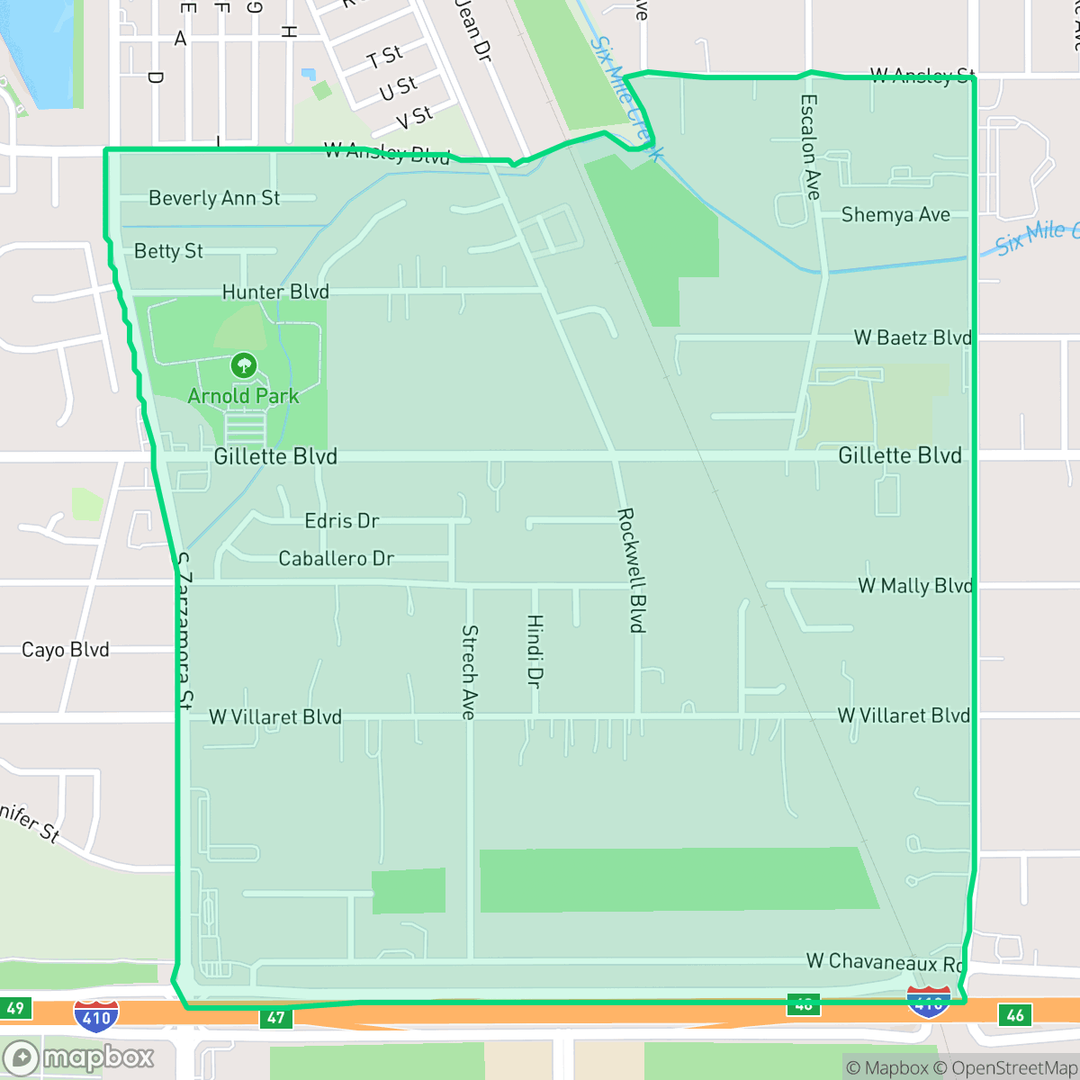
Gillette Area, San Antonio
Updated June 22, 2026 · 3,541 residents
The Gillette Area is a quiet, low-density neighborhood in San Antonio characterized by a blend of residential spaces and light industrial activity. While the area offers a serene, rural-leaning atmosphere with scattered local dining options, residents should anticipate limited walkability and proximity to industrial sites.
Key Highlights
About Gillette Area
Located in San Antonio, the Gillette Area serves as a quiet, low-density enclave that balances residential living with pockets of light industrial usage. The neighborhood features a mix of open green spaces and established local businesses, including Guerrero's Mexican Restaurant and Chica's Bakery Y Mas. According to iHuus data, the area maintains a distinctively rural feel compared to the city average, providing a sense of seclusion for its 3,541 residents. Prospective residents should note that the neighborhood is primarily car-dependent, with limited walkability and a notable proximity to industrial zones. While the area offers improved flood safety and a sense of privacy, it faces challenges regarding air quality and low health insurance coverage rates. It is best suited for those who prioritize a quiet, low-density environment over proximity to urban amenities and are comfortable navigating the area by vehicle.
Neighborhood Scores Across 15 Qualities
Residential spacing provides a moderate level of separation between neighbors, which is slightly higher than the San Antonio average according to iHuus data.
Low sidewalk availability defines the area, though quiet streets make the neighborhood less pedestrian-oriented than much of San Antonio.
Standard tract housing dominates the area with uniform rooflines and modest yards. This visual landscape is less varied than the San Antonio average according to iHuus data.
Access to public parks and green verges for walking is below the San Antonio average. Residents may find fewer dedicated spaces for pet exercise compared to other parts of the city.
Frequent open land and scattered homes amidst fields or woodland define the area. This landscape is more rural than the typical San Antonio environment, according to iHuus data.
Low density housing and significant open space create a serene environment, though access to daily essentials and social venues is much more limited than in the rest of San Antonio. According to iHuus data, this area offers a tranquil landscape with very few commercial hubs or nightlife options nearby.
Frequent disturbances from nearby railroad tracks and heavy freeway traffic characterize the area. According to iHuus data, acoustic comfort in this neighborhood is lower than the San Antonio average.
Frequent unhealthy air quality levels pose a significant risk to sensitive groups. According to iHuus data, the air quality in this area is slightly worse than the San Antonio average.
Industrial presence is minimal in this area, as no warehouses or heavy manufacturing facilities were detected. This neighborhood maintains a higher level of separation from industrial zones than the San Antonio average.
Health insurance access is notably lower in this area than the San Antonio average. According to iHuus data, a small portion of the local population maintains medical coverage.
Voting patterns and census indicators show a predominantly liberal leaning that is notably higher than the San Antonio average. According to iHuus data, this area reflects a distinct political orientation compared to the rest of the city.
Residents live alongside a balanced mix of young adults, families, and older individuals, reflecting a demographic spread that is roughly in line with the San Antonio average.
Flood safety in this area is notably higher than the San Antonio average, though some residual risk remains due to locations within the 500-year floodplain. According to iHuus data, residents should remain aware of potential water accumulation during extreme weather events.
Block-Level Insights for Gillette Area

iHuus Neighborhood Intelligence Insights
Get block-level neighborhood insights for Gillette Area
- Street-level scores — see how individual blocks compare, not just neighborhood averages
- Micro-zone boundaries — identify quiet pockets, flood boundaries, and walkable clusters before you visit
- 15 dimensions in full — walkability, noise, air quality, school quality, insurance coverage, population age profile, urban/rural index, and more
- Boundary risk alerts — know if your address sits near a block boundary where scores drop, the kind of detail no listing will ever mention
- School insights — individual school ratings and insights, not just district-level data
- Compare before you commit — side-by-side data across neighborhoods, down to block precision
No credit card required
Compare with Any Neighborhood
| Dimension | Gillette Area | 145 Association |
|---|---|---|
| 🚶 Walkabilityavg 6.44 | ||
| 🔊 Acoustic Comfortavg 4.07 | ||
| 🤫 Privacy Indexavg 5.75 | ||
| 🎨 Visual Appealavg 6.11 | ||
| 🐕 Dog Friendlinessavg 5.91 | ||
| 🗺️ Urban-Rural Indexavg 6.87 | ||
| ✨ Neighborhood Vibeavg 4.35 | ||
| 🏥 Health Insurance Coverageavg 5.94 | ||
| 🌿 Air Qualityavg 2.27 | ||
| 🏭 Industrial Proximityavg 8.31 | ||
| 🌊 Flood Safetyavg 4.2 | ||
| 🗳️ Ideological Leanavg 7.37 | ||
| 👥 Population Age Profileavg 4.68 | ||
| 🔥 Fire Safety | ||
| 🏫 School Quality |
Gillette Area Rankings
School Districts Serving Gillette Area
Southside Independent School District is a solid and stable organization characterized by exceptional early childhood outcomes and a high concentration of schools performing at an 8/10 level. The district has successfully balanced academic rigor with its role as a community anchor, earning national recognition for its literacy programs and regional accolades for its elementary campuses. With a strong financial foundation supported by an active education foundation and a clear commitment to student safety and career readiness (CTE), the district displays a high level of operational health and community trust, despite slightly lower but improving metrics at the high school level.
Schools
Harlandale ISD is currently a district in transition, earning a '3' due to its status as a recovering organization with a starkly bifurcated academic portfolio. While it boasts a premier STEM Early College High School, its primary high schools are underperforming, and several elementary campuses show significant academic distress. The district has recently stabilized its finances through difficult school consolidations and has seen modest gains in early literacy; however, these improvements are balanced against aging facilities, high teacher burnout, and lingering community resentment over school closures. The current leadership appears to be making prudent fiscal choices, but the district has yet to translate these operational stabilizes into consistent academic excellence across its traditional feeder patterns.
Schools
Southwest ISD is currently rated as a 3 (Mixed/Transition) due to its bifurcated academic performance and ongoing fiscal restructuring. While the district boasts elite specialized programs like CAST STEM and maintains a strong 'family-oriented' culture, it is grappling with an overall state 'C' rating and several middle schools requiring state-mandated improvement plans. The closure of Sky Harbour Elementary highlights the district's struggle with declining enrollment in older neighborhoods and a significant budget deficit, though these actions are being offset by investments in new facilities and innovative telehealth programs. Ultimately, SWISD shows potential for upward movement if its consolidation strategy stabilizes finances and improves the consistency of its middle school feeder patterns.
Schools
South San Antonio Independent School District is currently classified as a Distressed district due to significant financial and operational instability. While the district maintains several high-performing elementary schools and a standout vocational/CTE program that garners community praise, these successes are overshadowed by a multi-million dollar budget deficit, declining enrollment exceeding 5%, and the looming threat of campus closures. The district’s reliance on state monitors to manage academic progress and the sharp decline in performance at the middle and high school levels indicate systemic challenges. Despite the dedication of individual educators and robust security upgrades, the combination of administrative turnover and fiscal 'right-sizing' creates a volatile environment that undermines long-term institutional stability.
Schools
School Insights for Gillette Area
Below average outcomes; significant attendance and academic challenges.
School Insights
See what's really behind every school rating near Gillette Area
- Individual school ratings — each school's own score with outcome context, not just a district average
- Enrollment & class size data — student-to-teacher ratio and how it compares to the state average
- Full demographics breakdown — ethnicity and gender composition for every school in the enrollment zone
- Every school in the district — all schools within the enrollment boundary ranked by rating, not just the closest one
- Grade levels & benchmarks — elementary through high school, with below/above state-average flags
No credit card required