Dellview Area, San Antonio
Updated June 22, 2026 · 15,150 residents
The Dellview Area is a dense, mid-century suburban neighborhood in northwest San Antonio characterized by its grid layout and established ranch-style homes. While it offers a quiet residential environment with access to local dining, residents should note the proximity to major highways and limited public green space.
Key Highlights
About Dellview Area
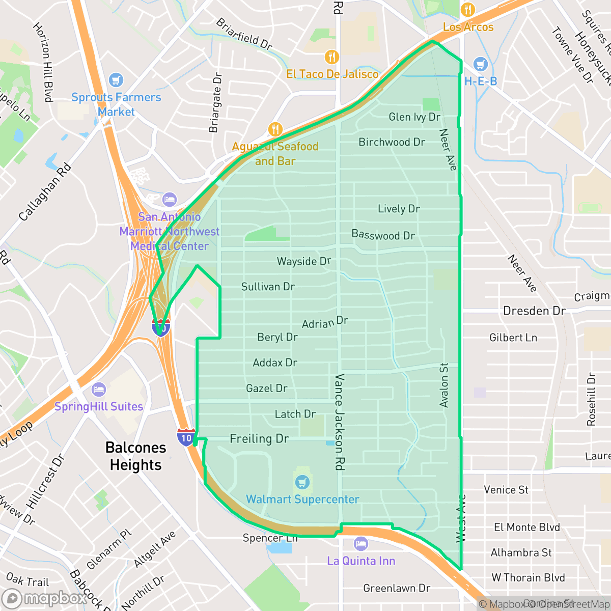
The Dellview Area in northwest San Antonio originated from the dairy farm and fields of George W. Delavan, Sr., which also once hosted the Storey Wood Rodeo Arena. Platted between 1951 and 1955 by Delavan’s Dell Village, Inc., alongside builders like Aaron Golden’s Wonder Homes, the neighborhood emerged as a fast-growing post-World War II suburb. This era is reflected in its distinct mid-century architectural character, with nearly 90% of its single-family, ranch-style homes built between 1940 and 1969. Bisected by West Avenue, the neighborhood features local landmarks like Dellview Park and the Granados Center on Vance Jackson Road, which was established as a dedicated community space during the area's mid-century commercial development.
The Dellview Area functions as a classic dense suburban environment, defined by its post-war grid and modest single-family homes. It maintains a steady, quiet rhythm, supported by local neighborhood services and proximity to major thoroughfares like West Avenue. While the neighborhood lacks the high-end amenities of more affluent districts, it provides a functional, established setting for those seeking a central location within the city. According to iHuus data, the community remains a consistent blend of residential life and light commercial activity.
Prospective residents should consider specific trade-offs regarding infrastructure and the local environment. The area faces challenges with road noise from nearby highway interchanges and limited public park access, with most greenery confined to private residential lots. Additionally, the neighborhood is situated in a zone with lower flood safety ratings and significant industrial proximity, making it a better fit for those who prioritize logistical convenience and established community roots over expansive natural amenities or high-luxury features.
Neighborhood Scores Across 15 Qualities
Residential density is moderate with some areas featuring closely packed homes and shared communal spaces. This level of density is slightly lower than the San Antonio average, providing some buffer between neighbors in most parts of the area.
Local streets are generally quiet and safe for short walks, but massive highway interchanges and inconsistent sidewalk networks create significant barriers for longer pedestrian trips. This level of connectivity is slightly below the San Antonio average according to iHuus data.
Standard tract housing and multi-family complexes define the landscape, characterized by uniform rooflines and small yards. The visual variety is slightly below the San Antonio average, as most properties lack luxury amenities or large private landscapes.
Greenery is primarily confined to private fenced backyards, as there is a lack of accessible public parks or wide sidewalk verges. This level of pet-friendly infrastructure is below the San Antonio average, according to iHuus data.
Residential layouts feature a mix of single-family homes and apartment complexes integrated with significant highway infrastructure. This environment is slightly more urbanized than the typical San Antonio landscape, according to iHuus data.
Suburban streets and green spaces provide a steady, calm pace of life that is consistent with the city average. While some pockets offer walkable access to local dining and parks, many essential services require a vehicle due to the area's car-dependent layout near major highways.
Persistent noise from nearby highways and railroad tracks characterizes this area. According to iHuus data, acoustic comfort levels are lower than the San Antonio average.
Frequent unhealthy air quality levels pose a significant risk to sensitive groups, with conditions trending slightly worse than the San Antonio average according to iHuus data.
Residential and light commercial uses dominate the landscape, though proximity to a major highway interchange and some warehouse facilities may introduce noise and traffic. This level of industrial presence is slightly lower than the San Antonio average, according to iHuus data.
Health insurance coverage is significantly lower than the San Antonio average. According to iHuus data, a small portion of the local population maintains medical coverage.
Political leanings in this area lean more liberal than the San Antonio average. This trend is reflected in the local community's ideological makeup according to iHuus data.
Residents will find a balanced demographic spread consisting of young adults, families, and older inhabitants. This age distribution is largely consistent with the broader San Antonio area according to iHuus data.
Frequent flooding is a significant concern in this area as parts of the neighborhood fall within the 100 year floodplain. According to iHuus data, the risk level is notably higher than the San Antonio average, which may necessitate the purchase of flood insurance.
Block-Level Insights for Dellview Area

iHuus Neighborhood Intelligence Insights
Get block-level neighborhood insights for Dellview Area
- Street-level scores — see how individual blocks compare, not just neighborhood averages
- Micro-zone boundaries — identify quiet pockets, flood boundaries, and walkable clusters before you visit
- 15 dimensions in full — walkability, noise, air quality, school quality, insurance coverage, population age profile, urban/rural index, and more
- Boundary risk alerts — know if your address sits near a block boundary where scores drop, the kind of detail no listing will ever mention
- School insights — individual school ratings and insights, not just district-level data
- Compare before you commit — side-by-side data across neighborhoods, down to block precision
No credit card required
Compare with Any Neighborhood
| Dimension | Dellview Area | 145 Association |
|---|---|---|
| 🚶 Walkabilityavg 6.44 | ||
| 🔊 Acoustic Comfortavg 4.07 | ||
| 🤫 Privacy Indexavg 5.75 | ||
| 🎨 Visual Appealavg 6.11 | ||
| 🐕 Dog Friendlinessavg 5.91 | ||
| 🗺️ Urban-Rural Indexavg 6.87 | ||
| ✨ Neighborhood Vibeavg 4.35 | ||
| 🏥 Health Insurance Coverageavg 5.94 | ||
| 🌿 Air Qualityavg 2.27 | ||
| 🏭 Industrial Proximityavg 8.31 | ||
| 🌊 Flood Safetyavg 4.2 | ||
| 🗳️ Ideological Leanavg 7.37 | ||
| 👥 Population Age Profileavg 4.68 | ||
| 🔥 Fire Safety | ||
| 🏫 School Quality |
Dellview Area Rankings
School Districts Serving Dellview Area
NEISD is a high-performing, stable 'Blue Chip' district that currently maintains an overall 'A' grade and excellent college readiness metrics despite significant financial pressures. While it boasts elite flagship high schools and nationally recognized fine arts and STEM programs, the district is navigating a multi-million dollar budget deficit and a growing resource divide between its affluent northern corridors and older central campuses. Community trust remains generally high, supported by proactive security measures and a commitment to teacher retention, though ongoing debates over board governance and fiscal 'right-sizing' signal a period of transition that requires careful monitoring.
Schools
San Antonio ISD is currently a distressed district undergoing a high-stakes 'rightsizing' transformation to combat declining enrollment and a legacy of underfunded, aging facilities. While the district maintains prestigious, top-tier magnets like the Young Women's Leadership Academy, the broader portfolio is plagued by academic inconsistency, with nearly 40% of its schools rated 4/10 or lower. Despite a recent upgrade to a state 'C' rating and significant bond investment in infrastructure, the combination of a TEA corrective action plan for graduation rates, widespread literacy gaps, and the closure of 15 campuses reflects a system in a state of survival rather than stability.
Schools
School Insights for Dellview Area
Below average outcomes; significant attendance and academic challenges.
School Insights
See what's really behind every school rating near Dellview Area
- Individual school ratings — each school's own score with outcome context, not just a district average
- Enrollment & class size data — student-to-teacher ratio and how it compares to the state average
- Full demographics breakdown — ethnicity and gender composition for every school in the enrollment zone
- Every school in the district — all schools within the enrollment boundary ranked by rating, not just the closest one
- Grade levels & benchmarks — elementary through high school, with below/above state-average flags
No credit card required