Cable-Westwood, San Antonio
Updated June 22, 2026 · 4,004 residents
Cable-Westwood is a suburban neighborhood on San Antonio’s West Side defined by its mid-century housing and an active local dining scene. While the area offers a lively atmosphere, residents rely heavily on vehicles for daily travel due to limited walkability and proximity to major highways.
Key Highlights
About Cable-Westwood
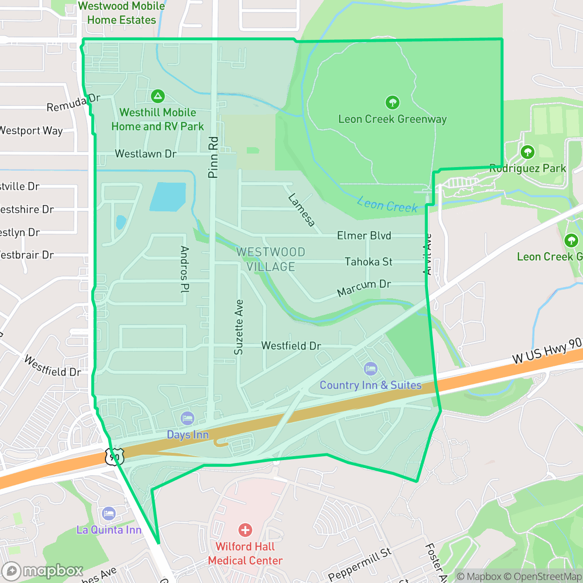
Located on San Antonio’s West Side, the Cable-Westwood neighborhood draws its name from the historic Cable Ranch. The ranch was established in the late 19th century by railroad tycoon Ransom Reed Cable, whose Victorian ranch house later served as the initial site for the Southwest Research Institute. Residential development in Cable-Westwood flourished primarily between 1940 and 1969, resulting in a well-established stock of mid-century single-family homes. The neighborhood possesses a distinct cultural identity, with a predominantly Hispanic population and a high percentage of Spanish-speaking households. Local landmarks include Cable Elementary School, which opened in 1958, and the 3.14-acre Cable Westwood Park. The park was designed in 2021 through a collaborative effort involving the Cable/Westwood Neighborhood Association and local elementary students.
The neighborhood functions as a car-dependent community where residential blocks blend with light industrial activity. The area features a mix of quiet, rural-feeling stretches and busier corridors situated near major highways. Local dining options, such as Caballero Bakery and Vicky's Barbacoa, contribute to the area's active social character, providing residents with convenient access to diverse food options within their immediate vicinity.
Prospective residents should note that the neighborhood experiences higher noise levels than the city average, largely due to road traffic. The area also faces specific environmental challenges, including lower air quality and significant concerns regarding flood safety. Access to health insurance coverage is notably lower than the city average, and the overall environment is best suited for those who prioritize a suburban lifestyle with convenient highway access over pedestrian-friendly amenities. Families may find the proximity to schools in the Northside and Lackland districts beneficial, as these institutions offer established academic programs.
Neighborhood Scores Across 15 Qualities
Residential spacing varies between single-family homes and denser apartment clusters, offering a level of privacy that is slightly higher than the San Antonio average. According to iHuus data, property separation remains inconsistent due to the mix of detached houses and more closely situated mobile homes.
Low traffic on residential streets makes for safe walking, though many blocks lack dedicated pedestrian paths. This level of walkability is slightly below the San Antonio average according to iHuus data.
Standard tract housing and high-density apartments define the area, which offers less visual variety than the San Antonio average. Landscapes consist primarily of tidy but small yards and boxy rooflines.
Fenced private yards are common here, but the lack of wide sidewalk verges and nearby public parks makes the area less ideal for off-leash activity compared to the San Antonio average. According to iHuus data, most greenery is contained within private residential properties.
Open land and woodland are common throughout the area, providing a landscape of scattered homes that is consistent with the city average. Residents will find a mix of low-density single-family housing and more concentrated suburban developments.
Active pockets of dining and light industrial use provide more activity than the San Antonio average, though much of the area remains quiet and car-dependent. According to iHuus data, some blocks offer social hubs and green spaces, while other sections are characterized by remote, rural landscapes with minimal commercial presence.
Steady sound from nearby busy streets creates a consistent hum that is slightly more noticeable than the San Antonio average. Residents can expect moderate levels of ambient traffic noise throughout the day.
Frequent unhealthy air quality levels pose a significant risk to sensitive groups; according to iHuus data, conditions here are slightly worse than the San Antonio average.
Minimal industrial activity defines the area, though some large warehouses and a municipal water tank are present in the southern and eastern quadrants. This level of commercial presence is slightly higher than the San Antonio average, according to iHuus data.
Health insurance accessibility in this area is below the San Antonio average. According to iHuus data, a significant portion of the resident population remains uninsured.
Political leanings in this area trend more liberal than the San Antonio average, characterized by a liberal majority with a modest opposing presence.
Residents live alongside a balanced spread of young adults, families, and older individuals. This demographic variety is slightly lower than the San Antonio average, according to iHuus data.
Significant flood hazards exist in this area, which is much higher than the San Antonio average. Residents should prepare for elevated or prohibitive flood insurance costs due to the identified risk levels.
Block-Level Insights for Cable-Westwood

iHuus Neighborhood Intelligence Insights
Get block-level neighborhood insights for Cable-Westwood
- Street-level scores — see how individual blocks compare, not just neighborhood averages
- Micro-zone boundaries — identify quiet pockets, flood boundaries, and walkable clusters before you visit
- 15 dimensions in full — walkability, noise, air quality, school quality, insurance coverage, population age profile, urban/rural index, and more
- Boundary risk alerts — know if your address sits near a block boundary where scores drop, the kind of detail no listing will ever mention
- School insights — individual school ratings and insights, not just district-level data
- Compare before you commit — side-by-side data across neighborhoods, down to block precision
No credit card required
Compare with Any Neighborhood
| Dimension | Cable-Westwood | 145 Association |
|---|---|---|
| 🚶 Walkabilityavg 6.44 | ||
| 🔊 Acoustic Comfortavg 4.07 | ||
| 🤫 Privacy Indexavg 5.75 | ||
| 🎨 Visual Appealavg 6.11 | ||
| 🐕 Dog Friendlinessavg 5.91 | ||
| 🗺️ Urban-Rural Indexavg 6.87 | ||
| ✨ Neighborhood Vibeavg 4.35 | ||
| 🏥 Health Insurance Coverageavg 5.94 | ||
| 🌿 Air Qualityavg 2.27 | ||
| 🏭 Industrial Proximityavg 8.31 | ||
| 🌊 Flood Safetyavg 4.2 | ||
| 🗳️ Ideological Leanavg 7.37 | ||
| 👥 Population Age Profileavg 4.68 | ||
| 🔥 Fire Safety | ||
| 🏫 School Quality |
Cable-Westwood Rankings
School Districts Serving Cable-Westwood
Lackland Independent School District is a high-performing, stable organization that excels in its specialized mission of serving military-connected families. With a 'terminal' high school rating of 8/10 and consistently high state accountability marks, the district provides a private-school experience within a secure public framework. Despite minor infrastructure modernization needs and the inherent logistical constraints of its base-restricted access, the district maintains exceptional community trust, robust academic outcomes, and a specialized support system that effectively mitigates the challenges of student mobility.
Schools
Northside Independent School District remains a premier educational entity in the San Antonio region, characterized by elite-tier magnet programs and high-performing terminal high schools like Brandeis and O'Connor. While the district maintains a solid academic foundation and high community demand, it is navigating a complex transition period marked by a 2026 budget deficit, teacher retention concerns, and a notable performance disparity between its high-growth suburban campuses and its struggling urban elementary schools. Overall, its operational stability and reputation for collegiate preparation maintain its status as a top-tier choice for families, though recent financial constraints and overcrowding in the Helotes corridor represent emerging risks.
Schools
School Insights for Cable-Westwood
Below average outcomes; significant attendance and academic challenges.
School Insights
See what's really behind every school rating near Cable-Westwood
- Individual school ratings — each school's own score with outcome context, not just a district average
- Enrollment & class size data — student-to-teacher ratio and how it compares to the state average
- Full demographics breakdown — ethnicity and gender composition for every school in the enrollment zone
- Every school in the district — all schools within the enrollment boundary ranked by rating, not just the closest one
- Grade levels & benchmarks — elementary through high school, with below/above state-average flags
No credit card required