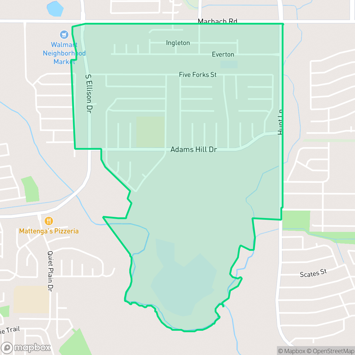
Adams Hill, San Antonio
Updated June 22, 2026 · 4,618 residents
Adams Hill is a quiet, suburban community in western San Antonio characterized by established ranch-style homes and wide, low-traffic streets. The area offers a car-dependent lifestyle with excellent flood safety, though residents will find limited public green spaces and walking infrastructure.
Key Highlights
About Adams Hill
Located in western San Antonio, the suburban neighborhood of Adams Hill was developed in 1972 by Ray Ellison on land once owned by rancher Robert Adams. The area is historically significant as the site of the bloodless May 9, 1861, "Battle of Adams Hill," a Civil War standoff where retreating Union troops surrendered to Confederate forces without firing a shot. Capitalizing on this history, Ellison advertised the development as the site of the "last Civil War battle in Texas" and named many of its streets after Civil War battlefields, including Boonsboro, Cedar Run, and Fort Donelson. Today, the neighborhood consists primarily of established ranch-style homes and features Adams Hill Park, which serves as the permanent home for the relocated Texas Historical Marker commemorating the 1861 confrontation.
The neighborhood functions as a traditional suburban enclave, defined by its uniform ranch-style architecture and a tranquil atmosphere. It is served by the Northside Independent School District, which provides access to well-regarded local institutions like Adams Hill Elementary. The landscape is primarily residential, featuring a mix of suburban density and peripheral undeveloped scrubland that contributes to a sense of seclusion from the busier parts of the city. While the area maintains a peaceful environment with low acoustic disturbances, it remains a car-oriented community where daily errands typically require driving due to the lack of dense commercial hubs within immediate walking distance.
Prospective residents should consider that while the neighborhood offers high flood safety and a stable residential environment, it has limited public park access, with most outdoor recreation restricted to private fenced yards. The area is positioned near some light commercial infrastructure, including a local wastewater treatment facility, and experiences air quality levels that are typical for this sector of San Antonio. It is best suited for those seeking a quiet, predictable suburban setting who prioritize school district access and a stable housing environment over high-density urban convenience or walkability.
Neighborhood Scores Across 15 Qualities
Residential spacing varies from closely clustered homes to standard suburban lots with modest buffers. According to iHuus data, this level of density is slightly higher than the San Antonio average.
Extensive sidewalk networks and well-marked crossings make much of the neighborhood easy to navigate on foot. This level of connectivity is notably higher than the San Antonio average.
Residential streetscapes consist of standard tract housing and multi-family apartments with uniform rooflines and modest yards. This visual character is consistent with the average seen across San Antonio.
Wide drainage corridors and residential verges provide continuous walking paths that are slightly more dog friendly than the San Antonio average. While many yards are fenced, the presence of green buffers and a central pond area offers useful space for exercise.
Frequent open land and woodland areas create a more spacious feel than the typical San Antonio suburb. Residents will find a mix of scattered homes and undeveloped greenery that is slightly more rural than the city average.
A serene, suburban rhythm defines this area, characterized by significant green space and a low density of commercial activity. The local energy sits slightly below the San Antonio average, offering a peaceful environment with limited social hubs compared to more active urban districts.
Frequent noise from nearby transit corridors and infrastructure is a notable feature here. According to iHuus data, acoustic levels in Adams Hill are significantly higher than the San Antonio average.
Frequent unhealthy air quality levels present a significant risk to sensitive groups. According to iHuus data, air quality in Adams Hill is slightly worse than the San Antonio average.
Minimal industrial presence defines this area, which is comprised primarily of residential streets and light commercial zones. While a large wastewater treatment plant and some utility infrastructure are located nearby, the neighborhood remains consistent with the city average for low industrial density.
Health insurance access among residents is lower than the San Antonio average. According to iHuus data, a significant portion of the population lacks coverage.
Political leanings in Adams Hill trend more liberal than the San Antonio average, characterized by a strong liberal majority and a modest opposing presence.
Residents live alongside a balanced spread of young adults, families, and older individuals. This demographic distribution is slightly lower than the San Antonio average according to iHuus data.
Flood risk levels in Adams Hill are slightly higher than the San Antonio average, though a lack of detailed FEMA studies means the specific risk remains undetermined. Residents should note that official flood maps for this area have not been fully updated.
Block-Level Insights for Adams Hill

iHuus Neighborhood Intelligence Insights
Get block-level neighborhood insights for Adams Hill
- Street-level scores — see how individual blocks compare, not just neighborhood averages
- Micro-zone boundaries — identify quiet pockets, flood boundaries, and walkable clusters before you visit
- 15 dimensions in full — walkability, noise, air quality, school quality, insurance coverage, population age profile, urban/rural index, and more
- Boundary risk alerts — know if your address sits near a block boundary where scores drop, the kind of detail no listing will ever mention
- School insights — individual school ratings and insights, not just district-level data
- Compare before you commit — side-by-side data across neighborhoods, down to block precision
No credit card required
Compare with Any Neighborhood
| Dimension | Adams Hill | 145 Association |
|---|---|---|
| 🚶 Walkabilityavg 6.44 | ||
| 🔊 Acoustic Comfortavg 4.07 | ||
| 🤫 Privacy Indexavg 5.75 | ||
| 🎨 Visual Appealavg 6.11 | ||
| 🐕 Dog Friendlinessavg 5.91 | ||
| 🗺️ Urban-Rural Indexavg 6.87 | ||
| ✨ Neighborhood Vibeavg 4.35 | ||
| 🏥 Health Insurance Coverageavg 5.94 | ||
| 🌿 Air Qualityavg 2.27 | ||
| 🏭 Industrial Proximityavg 8.31 | ||
| 🌊 Flood Safetyavg 4.2 | ||
| 🗳️ Ideological Leanavg 7.37 | ||
| 👥 Population Age Profileavg 4.68 | ||
| 🔥 Fire Safety | ||
| 🏫 School Quality |
Adams Hill Rankings
School Districts Serving Adams Hill
Northside Independent School District remains a premier educational entity in the San Antonio region, characterized by elite-tier magnet programs and high-performing terminal high schools like Brandeis and O'Connor. While the district maintains a solid academic foundation and high community demand, it is navigating a complex transition period marked by a 2026 budget deficit, teacher retention concerns, and a notable performance disparity between its high-growth suburban campuses and its struggling urban elementary schools. Overall, its operational stability and reputation for collegiate preparation maintain its status as a top-tier choice for families, though recent financial constraints and overcrowding in the Helotes corridor represent emerging risks.
Schools
School Insights for Adams Hill
Below average outcomes; significant attendance and academic challenges.
School Insights
See what's really behind every school rating near Adams Hill
- Individual school ratings — each school's own score with outcome context, not just a district average
- Enrollment & class size data — student-to-teacher ratio and how it compares to the state average
- Full demographics breakdown — ethnicity and gender composition for every school in the enrollment zone
- Every school in the district — all schools within the enrollment boundary ranked by rating, not just the closest one
- Grade levels & benchmarks — elementary through high school, with below/above state-average flags
No credit card required