Westpoint Estates, Houston
Updated June 22, 2026 · 391 residents
Westpoint Estates is a functional, suburban neighborhood in Houston characterized by standard tract housing and a quiet, residential atmosphere. While the area offers moderate privacy between homes, residents should be aware of frequent traffic noise from nearby transit corridors and proximity to industrial activity.
Key Highlights
About Westpoint Estates
Located within a suburban sprawl landscape, the neighborhood features consistent residential architecture with tidy, modest yards. It maintains a quiet, primarily functional environment that appeals to a diverse mix of age groups. The area is served by the Aldine Independent School District, which offers a range of specialized choice programs alongside its traditional neighborhood schools to address varying academic needs. Living in this area involves specific trade-offs, particularly regarding environmental quality and infrastructure. The proximity to logistics hubs and industrial facilities contributes to elevated noise levels and poor air quality, and residents often face challenges with limited healthcare access. While the neighborhood provides green verges suitable for pet owners, the lack of continuous sidewalk connectivity makes local travel primarily reliant on personal vehicles.
Neighborhood Scores Across 15 Qualities
Residential spacing provides a moderate amount of buffer between neighbors, which is slightly higher than the Houston average. Most homes feature a balanced distance from adjacent structures according to iHuus data.
Residential streets offer a calm environment for walking, though crossing major arterial roads remains difficult. According to iHuus data, the lack of continuous sidewalk connectivity makes this area less walkable than much of Houston.
Standard tract housing defines the landscape, featuring tidy but small yards and consistent rooflines. This level of visual variety is slightly below the Houston average according to iHuus data.
Green verges between sidewalks and roads offer adequate space for walking pets. This level of accessibility is slightly below the Houston average according to iHuus data.
Characterized by a mix of single-family housing and significant wooded buffers, this area offers a level of openness nearly identical to the Houston average. Residents will find a landscape of dense suburban development interspersed with pockets of undeveloped land.
Industrial and suburban landscapes characterize this area, offering a subdued atmosphere with fewer social hubs than the Houston average. While some essential services and dining options are accessible, the low density of businesses makes the area feel primarily functional and car-oriented.
Frequent noise from nearby highways and railroad tracks characterizes this area. Acoustic comfort levels are lower than the Houston average according to iHuus data.
Frequent periods of unhealthy air conditions pose significant risks to sensitive groups. According to iHuus data, the air quality in this area is notably worse than the Houston average.
Heavy logistics hubs and wastewater treatment facilities are located near residential pockets. According to iHuus data, the level of industrial presence in Westpoint Estates is notably higher than the Houston average.
Health insurance access is significantly lower here than the Houston average, according to iHuus data. Most residents in Westpoint Estates lack employer-sponsored or private medical coverage.
Political leanings in this area trend significantly more liberal than the Houston average, according to iHuus data.
A diverse range of age groups, including young adults, families, and seniors, resides here. This demographic spread is slightly lower than the Houston average according to iHuus data.
Residual flood risk exists due to the area's location within a 500-year floodplain; however, safety levels remain above the Houston average according to iHuus data.
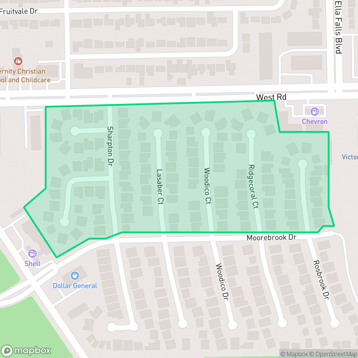
Block-Level Insights for Westpoint Estates

iHuus Neighborhood Intelligence Insights
Get block-level neighborhood insights for Westpoint Estates
- Street-level scores — see how individual blocks compare, not just neighborhood averages
- Micro-zone boundaries — identify quiet pockets, flood boundaries, and walkable clusters before you visit
- 15 dimensions in full — walkability, noise, air quality, school quality, insurance coverage, population age profile, urban/rural index, and more
- Boundary risk alerts — know if your address sits near a block boundary where scores drop, the kind of detail no listing will ever mention
- School insights — individual school ratings and insights, not just district-level data
- Compare before you commit — side-by-side data across neighborhoods, down to block precision
No credit card required
Compare with Any Neighborhood
| Dimension | Westpoint Estates | Acres Home |
|---|---|---|
| 🚶 Walkabilityavg 7.08 | ||
| 🔊 Acoustic Comfortavg 4.14 | ||
| 🤫 Privacy Indexavg 5.34 | ||
| 🎨 Visual Appealavg 6.42 | ||
| 🐕 Dog Friendlinessavg 6.33 | ||
| 🗺️ Urban-Rural Indexavg 6.64 | ||
| ✨ Neighborhood Vibeavg 4.4 | ||
| 🏥 Health Insurance Coverageavg 5.46 | ||
| 🌿 Air Qualityavg 3.58 | ||
| 🏭 Industrial Proximityavg 6.9 | ||
| 🌊 Flood Safetyavg 6.27 | ||
| 🗳️ Ideological Leanavg 6.39 | ||
| 👥 Population Age Profileavg 4.6 | ||
| 🔥 Fire Safety | ||
| 🏫 School Quality |
Westpoint Estates Rankings
School Districts Serving Westpoint Estates
Aldine ISD is a district in transition, characterized by a high-performing portfolio of specialized choice schools and high schools contrasted with deep academic struggles in its traditional middle school feeders. While ground truth data shows several campuses at 2/10 and 4/10 proficiency levels, the district's operational health is stabilized by proactive teacher retention strategies, successful bond-funded modernization, and expanding dual-enrollment partnerships. Leadership is effectively leveraging 'Choice Schools' as a driver for excellence, though the gap between these elite programs and neighborhood schools remains the primary barrier to 'Blue Chip' status.
Schools
School Insights for Westpoint Estates
Below average outcomes; significant attendance and academic challenges.
School Insights
See what's really behind every school rating near Westpoint Estates
- Individual school ratings — each school's own score with outcome context, not just a district average
- Enrollment & class size data — student-to-teacher ratio and how it compares to the state average
- Full demographics breakdown — ethnicity and gender composition for every school in the enrollment zone
- Every school in the district — all schools within the enrollment boundary ranked by rating, not just the closest one
- Grade levels & benchmarks — elementary through high school, with below/above state-average flags
No credit card required