Westfield, Houston
Updated June 22, 2026 · 4,626 residents
Westfield features an upscale suburban aesthetic defined by manicured landscapes and private pools, offering residents a pedestrian-friendly environment with extensive sidewalk connectivity. This semi-rural community balances open woodland spaces with modern residential comfort, making it a well-connected yet tranquil choice for diverse households.
Key Highlights
About Westfield
Westfield, an unincorporated community in Harris County, Texas, was established in 1876 and named for Gadi F. West, a local landowner. Situated along the International–Great Northern Railroad, the town originally thrived as a shipping hub for cotton, lumber, and cattle, with early development spurred by German immigrant Herman Tautenhahn, who opened a general store near Cypress Station. By 1890, the community supported a school, three churches, and various mills. While it experienced a brief economic boom in 1905 as an overflow point for the nearby Humble oil field, the area eventually transitioned from a rural railroad town into a modern suburban landscape. Today, the name persists in the local area, notably through the Spring Independent School District's Westfield High School, which honors the community's historical roots.
The area maintains a distinct visual appeal characterized by large homes and well-maintained green spaces, which contribute to a sense of affluence throughout the community. Residents benefit from a walkable layout featuring continuous sidewalks that facilitate easy movement through residential loops. While the local atmosphere is notably lively with various social hubs and dining options, the suburban design typically requires a vehicle for reaching certain regional destinations. According to iHuus data, the community offers a cleaner environment with minimal industrial activity compared to the broader Houston area. Prospective residents should note that the neighborhood is situated within a 500-year floodplain, necessitating awareness of residual flood risks. The area is served by the highly regarded Katy Independent School District, which is recognized for its academic excellence and robust community support. With a politically balanced demographic and a mix of age groups, the community serves as a stable, accessible environment for those seeking a blend of suburban convenience and semi-rural character.
Neighborhood Scores Across 15 Qualities
Residential spacing provides a moderate level of separation between homes, which is slightly higher than the Houston average. Neighbors are often situated within close proximity with shared fencelines and standard suburban lot densities.
Continuous sidewalks and low-traffic residential loops provide safe connectivity for walkers. According to iHuus data, the sidewalk network in this area is more comprehensive than the Houston average.
Manicured landscapes, large homes, and frequent private pools create a visual environment that is more polished than the Houston average. According to iHuus data, the presence of multi-car driveways and complex architectural features contributes to an overall sense of affluence throughout much of the area.
Continuous grass verges and accessible drainage corridors provide ample walking space for pets. According to iHuus data, these connected green spaces and wide paths offer slightly more walking utility than the Houston average.
Open land and woodland areas are frequently interspersed with scattered homes, creating a landscape slightly more rural than the Houston average. According to iHuus data, the area features a mix of low-density residential tracts and manicured green spaces.
Frequent social hubs and diverse dining options create a more active atmosphere than the Houston average. While many local businesses are accessible, the suburban layout often requires a car to reach certain destinations.
Steady hum from nearby busy streets characterizes the acoustic environment. This level of activity is slightly higher than the average for Houston.
Air quality levels in Westfield are slightly better than the Houston average, though residents may still experience occasional days with unhealthy conditions for sensitive groups.
Industrial activity and hazardous facilities are virtually non-existent here, offering a much cleaner environment than the Houston average. The area consists primarily of residential, retail, and school zones with no detected heavy warehouses or industrial sites.
Health insurance coverage among residents is slightly higher than the Houston average. According to iHuus data, a portion of the population remains uninsured, which may impact access to consistent medical care.
Political views in this area are evenly split, representing a more moderate ideological landscape than the typical Houston neighborhood according to iHuus data.
A diverse range of age groups resides here, including young adults, families, and older residents. This age distribution is largely consistent with the broader Houston area, according to iHuus data.
Flood risk in this area is higher than the Houston average due to its location within a 500-year floodplain. Residents should be aware of potential residual flood risks according to iHuus data.
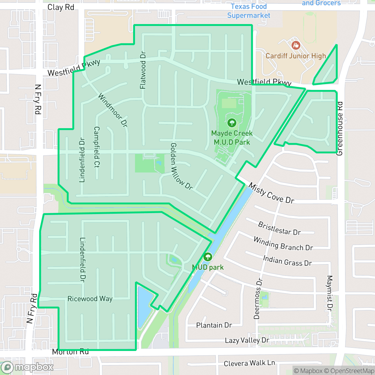
Block-Level Insights for Westfield

iHuus Neighborhood Intelligence Insights
Get block-level neighborhood insights for Westfield
- Street-level scores — see how individual blocks compare, not just neighborhood averages
- Micro-zone boundaries — identify quiet pockets, flood boundaries, and walkable clusters before you visit
- 15 dimensions in full — walkability, noise, air quality, school quality, insurance coverage, population age profile, urban/rural index, and more
- Boundary risk alerts — know if your address sits near a block boundary where scores drop, the kind of detail no listing will ever mention
- School insights — individual school ratings and insights, not just district-level data
- Compare before you commit — side-by-side data across neighborhoods, down to block precision
No credit card required
Compare with Any Neighborhood
| Dimension | Westfield | Acres Home |
|---|---|---|
| 🚶 Walkabilityavg 7.08 | ||
| 🔊 Acoustic Comfortavg 4.14 | ||
| 🤫 Privacy Indexavg 5.34 | ||
| 🎨 Visual Appealavg 6.42 | ||
| 🐕 Dog Friendlinessavg 6.33 | ||
| 🗺️ Urban-Rural Indexavg 6.64 | ||
| ✨ Neighborhood Vibeavg 4.4 | ||
| 🏥 Health Insurance Coverageavg 5.46 | ||
| 🌿 Air Qualityavg 3.58 | ||
| 🏭 Industrial Proximityavg 6.9 | ||
| 🌊 Flood Safetyavg 6.27 | ||
| 🗳️ Ideological Leanavg 6.39 | ||
| 👥 Population Age Profileavg 4.6 | ||
| 🔥 Fire Safety | ||
| 🏫 School Quality |
Westfield Rankings
School Districts Serving Westfield
Katy Independent School District is a premier educational organization characterized by elite academic performance and robust community support for its facilities and safety initiatives. With over half of its campuses earning perfect ratings and its high schools serving as regional benchmarks for college readiness, the district maintains a 'Blue Chip' status despite the fiscal and political pressures inherent in a high-growth environment. While the district is navigating a budget deficit and ideological divisions on the school board, its operational commitment to classroom excellence, record-setting career certifications, and modern infrastructure secures its position as a top-tier Texas district.
Schools
School Insights for Westfield
Below average outcomes; significant attendance and academic challenges.
School Insights
See what's really behind every school rating near Westfield
- Individual school ratings — each school's own score with outcome context, not just a district average
- Enrollment & class size data — student-to-teacher ratio and how it compares to the state average
- Full demographics breakdown — ethnicity and gender composition for every school in the enrollment zone
- Every school in the district — all schools within the enrollment boundary ranked by rating, not just the closest one
- Grade levels & benchmarks — elementary through high school, with below/above state-average flags
No credit card required