Westfield Estates, Houston
Updated June 22, 2026 · 1,561 residents
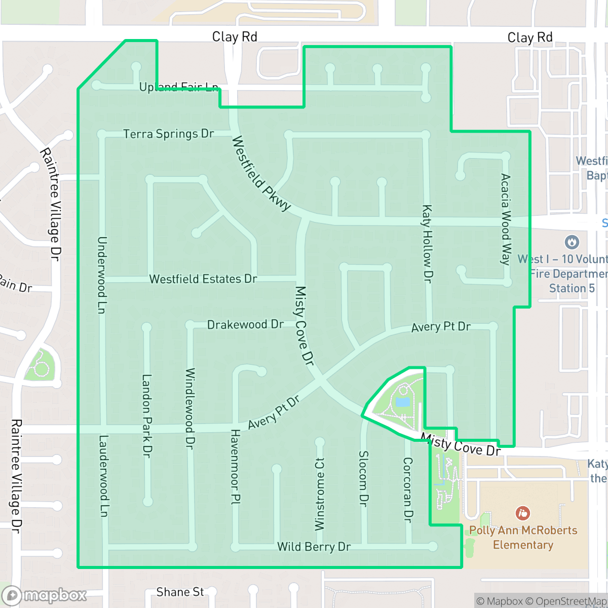
Westfield Estates is a residential community in East Aldine characterized by its mid-century origins and recent infrastructure improvements. The neighborhood offers high walkability through a network of sidewalks and cul-de-sacs, complemented by a visually polished landscape of well-maintained properties.
Key Highlights
About Westfield Estates
Westfield Estates, a residential subdivision in Houston’s East Aldine district, is defined by its mid-20th-century origins, with a median home construction date of 1950. For decades, the community was characterized by its reliance on private septic systems rather than municipal sewer services, leading to significant environmental and public health challenges. This historical lack of infrastructure, which disproportionately affected a diverse, lower-income population, became the focus of major regional attention. In 2025, the neighborhood became the site of the largest ARPA-funded sewer initiative in Harris County, a landmark infrastructure project aimed at replacing failing septic systems to improve the community's long-term safety, health, and quality of life.
The neighborhood, situated in the East Aldine district, presents a semi-rural suburban atmosphere defined by large homes and manicured landscaping. Residents benefit from a highly pedestrian-friendly environment, featuring a dense network of sidewalks and quiet cul-de-sacs that encourage outdoor activity. Families in the area are served by the Katy Independent School District, which is recognized for its strong academic performance and commitment to student success. The community maintains a balanced ideological profile and a diverse mix of age groups, providing a stable environment for residents.
While the area offers aesthetic appeal and walkability, potential residents should note that acoustic comfort can be affected by proximity to nearby freeway and railroad traffic. Although the local layout is conducive to walking, the broader commercial landscape remains car-dependent, meaning most dining and retail amenities require a short drive. Air quality can occasionally fluctuate, and while the community is currently undergoing significant infrastructure modernization, it remains a distinct residential choice for those seeking a blend of suburban privacy and local connectivity.
Neighborhood Scores Across 15 Qualities
Housing layouts feature a mix of detached homes with moderate spacing and more densely packed sections. According to iHuus data, the level of privacy is roughly in line with the Houston average.
Safe pedestrian routes are readily available through a dense network of sidewalks and low-traffic cul-de-sacs. According to iHuus data, walkability in this area is notably higher than the Houston average.
Large homes with manicured landscaping and private pools create a visual landscape that is more polished than the Houston average. According to iHuus data, the presence of expansive driveways and well-maintained properties contributes to a higher level of aesthetic quality throughout the area.
Continuous grass verges and large green corridors provide ample space for pet exercise. According to iHuus data, these features make the area slightly less dog friendly than the Houston average.
A mix of single-family housing tracts and open land creates a landscape similar to the Houston average. Residents will find a blend of suburban development interspersed with pockets of woodland and fields according to iHuus data.
Social hubs and various dining options provide a more active atmosphere than the typical Houston neighborhood. While many amenities are accessible, the car-dependent layout means most local businesses require a short drive.
Frequent disturbances from nearby freeway and railroad traffic are common in this area. According to iHuus data, acoustic comfort is notably lower than the Houston city average.
Air quality levels in this area fluctuate between acceptable and unhealthy, presenting occasional concerns for sensitive groups. This pattern is slightly higher than the Houston average, according to iHuus data.
Large logistics hubs and warehouse facilities on the western and eastern edges introduce some commercial traffic, though the area remains primarily residential and slightly more free of heavy industry than the Houston average.
Health insurance access among residents is in line with the Houston average. According to iHuus data, a significant portion of the population remains uninsured.
Political leanings in this area are relatively evenly split between conservative and liberal perspectives. This represents a more moderate ideological landscape than the average Houston neighborhood, according to iHuus data.
Residents live alongside a balanced mix of young adults, families, and older populations. This age distribution is slightly more varied than the typical Houston profile, according to iHuus data.
Flood safety levels in this area are higher than the Houston average. While some residual risk remains due to proximity to the 500-year floodplain, according to iHuus data, the area is situated within a more secure zone than much of the city.
Block-Level Insights for Westfield Estates

iHuus Neighborhood Intelligence Insights
Get block-level neighborhood insights for Westfield Estates
- Street-level scores — see how individual blocks compare, not just neighborhood averages
- Micro-zone boundaries — identify quiet pockets, flood boundaries, and walkable clusters before you visit
- 15 dimensions in full — walkability, noise, air quality, school quality, insurance coverage, population age profile, urban/rural index, and more
- Boundary risk alerts — know if your address sits near a block boundary where scores drop, the kind of detail no listing will ever mention
- School insights — individual school ratings and insights, not just district-level data
- Compare before you commit — side-by-side data across neighborhoods, down to block precision
No credit card required
Compare with Any Neighborhood
| Dimension | Westfield Estates | Acres Home |
|---|---|---|
| 🚶 Walkabilityavg 7.08 | ||
| 🔊 Acoustic Comfortavg 4.14 | ||
| 🤫 Privacy Indexavg 5.34 | ||
| 🎨 Visual Appealavg 6.42 | ||
| 🐕 Dog Friendlinessavg 6.33 | ||
| 🗺️ Urban-Rural Indexavg 6.64 | ||
| ✨ Neighborhood Vibeavg 4.4 | ||
| 🏥 Health Insurance Coverageavg 5.46 | ||
| 🌿 Air Qualityavg 3.58 | ||
| 🏭 Industrial Proximityavg 6.9 | ||
| 🌊 Flood Safetyavg 6.27 | ||
| 🗳️ Ideological Leanavg 6.39 | ||
| 👥 Population Age Profileavg 4.6 | ||
| 🔥 Fire Safety | ||
| 🏫 School Quality |
Westfield Estates Rankings
School Districts Serving Westfield Estates
Katy Independent School District is a premier educational organization characterized by elite academic performance and robust community support for its facilities and safety initiatives. With over half of its campuses earning perfect ratings and its high schools serving as regional benchmarks for college readiness, the district maintains a 'Blue Chip' status despite the fiscal and political pressures inherent in a high-growth environment. While the district is navigating a budget deficit and ideological divisions on the school board, its operational commitment to classroom excellence, record-setting career certifications, and modern infrastructure secures its position as a top-tier Texas district.
Schools
School Insights for Westfield Estates
Below average outcomes; significant attendance and academic challenges.
School Insights
See what's really behind every school rating near Westfield Estates
- Individual school ratings — each school's own score with outcome context, not just a district average
- Enrollment & class size data — student-to-teacher ratio and how it compares to the state average
- Full demographics breakdown — ethnicity and gender composition for every school in the enrollment zone
- Every school in the district — all schools within the enrollment boundary ranked by rating, not just the closest one
- Grade levels & benchmarks — elementary through high school, with below/above state-average flags
No credit card required