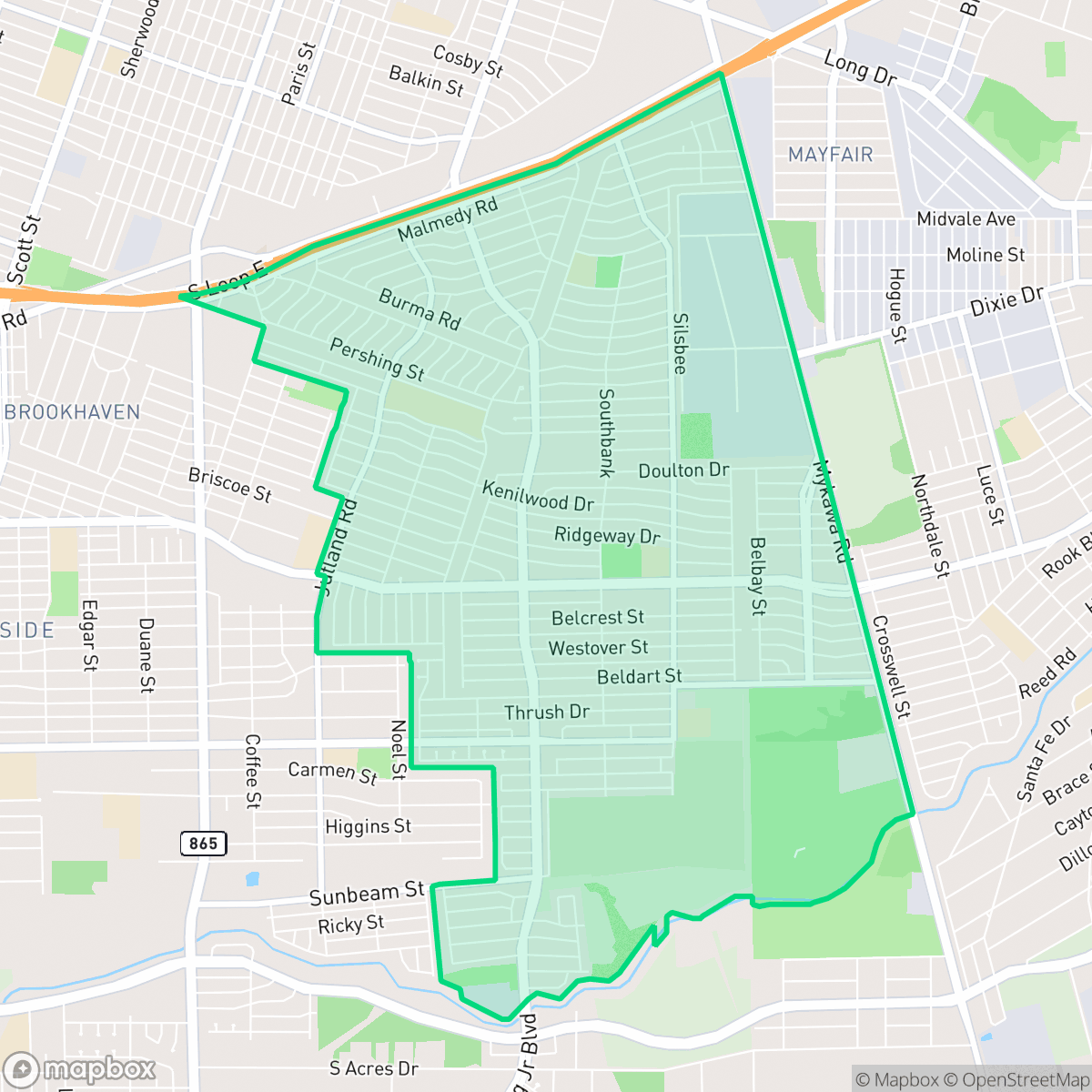
South Park, Houston
Updated June 22, 2026 · 24,151 residents
South Park is a quiet, car-dependent residential neighborhood characterized by its mid-century suburban grid and mature tree canopy. While it offers a peaceful atmosphere with limited commercial density, residents primarily rely on private vehicles for daily errands and commuting.
Key Highlights
About South Park
Developed in the 1950s as a post-World War II suburb in south-central Houston, South Park was originally built for middle-class families and returning military veterans. Reflecting this heritage, many of the neighborhood’s streets—such as Guadalcanal, Iwo Jima, and Bataan—were named after notable World War II battle sites. The community's main thoroughfare, South Park Boulevard, was later renamed Martin Luther King Boulevard. The opening of Interstate 610 in the 1960s and subsequent white flight during integration in the 1970s dramatically shifted the neighborhood's demographics, transforming it into a predominantly African American enclave. Despite these economic and social transitions, local landmarks like the iconic Burger Park food stand, operating since the mid-20th century, remain cultural touchstones of the community.
The neighborhood maintains a dense residential character defined by uniform tract housing and a quiet, suburban environment. It is primarily residential, though the eastern borders feature a mix of light industrial warehouses and logistics hubs that shape the local landscape. Community life is anchored by several local churches and long-standing dining staples, providing a sense of stability despite the lack of a centralized commercial district. The area is marked by a consistent grid layout that, while peaceful, is largely shaped by its industrial proximity and car-oriented infrastructure.
Living in this area is best suited for those seeking a low-density, quiet environment who are comfortable with a vehicle-dependent lifestyle. Prospective residents should consider the neighborhood's limited walkability and the presence of nearby industrial operations when choosing a location. While the area provides access to highly-rated local schools like Jones Futures Academy and Kelso Elementary, it is important for residents to plan for their own healthcare needs, as the neighborhood shows lower-than-average rates of health insurance coverage.
Neighborhood Scores Across 15 Qualities
Residential spacing is consistent with the city average, featuring detached homes with modest side-yard buffers. Some areas feature closely packed structures with minimal distance between neighbors, according to iHuus data.
Low-traffic residential streets and a grid layout allow for relatively safe walking, though sidewalks are frequently missing or obscured by heavy tree canopy. This level of walkability is below the Houston city average.
Standard middle-class housing dominates the area, characterized by uniform rooflines and modest yards. This level of visual variety is lower than the Houston average, as the neighborhood features high residential density and few private luxury amenities like pools.
Walking opportunities for pets vary across the area, with some sectors offering large wooded areas and wide green corridors while other streets feature only narrow verges. According to iHuus data, the availability of public green space for dogs is slightly below the Houston average.
Residential pockets of single-family homes and mature trees are interspersed with industrial warehouses and utility corridors. This layout is consistent with the typical density found throughout Houston.
Primarily characterized by industrial zones and suburban blocks, this area offers a calm atmosphere with very few walkable commercial hubs. Activity levels are below the Houston average, as most daily needs require a vehicle due to the sparse distribution of local businesses.
Steady sounds from nearby busy streets are common here. According to iHuus data, acoustic comfort in this area is slightly higher than the Houston average.
Air quality in this area fluctuates between acceptable and unhealthy levels on certain days. According to iHuus data, conditions here are slightly better than the Houston average, though sensitive groups should remain cautious during periods of poor air quality.
Residential streets are primarily interspersed with light commercial use, though a wastewater treatment plant is located nearby. This level of industrial presence is slightly below the Houston average.
Health insurance access is notably lower than the Houston average. Residents may face challenges accessing employer-sponsored or private coverage within the area.
Voting patterns and census indicators show a distinctly liberal leaning that is significantly more pronounced than the Houston average. According to iHuus data, the area exhibits a much stronger liberal political identity compared to the rest of the city.
A balanced spread of young adults, families, and older residents characterizes the area. According to iHuus data, this age distribution is roughly in line with the Houston city average.
Flood risk in this area is difficult to precisely determine because official FEMA studies for this specific zone are currently incomplete. This level of uncertainty is slightly higher than the average seen across Houston.
Block-Level Insights for South Park

iHuus Neighborhood Intelligence Insights
Get block-level neighborhood insights for South Park
- Street-level scores — see how individual blocks compare, not just neighborhood averages
- Micro-zone boundaries — identify quiet pockets, flood boundaries, and walkable clusters before you visit
- 15 dimensions in full — walkability, noise, air quality, school quality, insurance coverage, population age profile, urban/rural index, and more
- Boundary risk alerts — know if your address sits near a block boundary where scores drop, the kind of detail no listing will ever mention
- School insights — individual school ratings and insights, not just district-level data
- Compare before you commit — side-by-side data across neighborhoods, down to block precision
No credit card required
Compare with Any Neighborhood
| Dimension | South Park | Acres Home |
|---|---|---|
| 🚶 Walkabilityavg 7.08 | ||
| 🔊 Acoustic Comfortavg 4.14 | ||
| 🤫 Privacy Indexavg 5.34 | ||
| 🎨 Visual Appealavg 6.42 | ||
| 🐕 Dog Friendlinessavg 6.33 | ||
| 🗺️ Urban-Rural Indexavg 6.64 | ||
| ✨ Neighborhood Vibeavg 4.4 | ||
| 🏥 Health Insurance Coverageavg 5.46 | ||
| 🌿 Air Qualityavg 3.58 | ||
| 🏭 Industrial Proximityavg 6.9 | ||
| 🌊 Flood Safetyavg 6.27 | ||
| 🗳️ Ideological Leanavg 6.39 | ||
| 👥 Population Age Profileavg 4.6 | ||
| 🔥 Fire Safety | ||
| 🏫 School Quality |
South Park Rankings
School Districts Serving South Park
Houston ISD is a district in a state of extreme operational and political volatility, currently categorized by a state takeover and the loss of local community control. While the district maintains a collection of world-class magnet and high-performing schools that anchor its academic reputation, these are overshadowed by a 'Toxic' institutional environment characterized by a 33% teacher turnover rate, significant reliance on uncertified staff, and a steady 3.5% annual enrollment loss. Despite reports of rapid academic growth under the state-appointed leadership, the district's stability is undermined by intense community friction, school closures in underserved areas, and an organizational culture increasingly managed through high-stress compliance models, making it a high-risk entity for long-term consistency.
Schools
School Insights for South Park
Below average outcomes; significant attendance and academic challenges.
School Insights
See what's really behind every school rating near South Park
- Individual school ratings — each school's own score with outcome context, not just a district average
- Enrollment & class size data — student-to-teacher ratio and how it compares to the state average
- Full demographics breakdown — ethnicity and gender composition for every school in the enrollment zone
- Every school in the district — all schools within the enrollment boundary ranked by rating, not just the closest one
- Grade levels & benchmarks — elementary through high school, with below/above state-average flags
No credit card required