South Acres - Crestmont Park, Houston
Updated June 22, 2026 · 22,624 residents
South Acres - Crestmont Park is a suburban community defined by its post-war ranch-style architecture and proximity to the Sims Bayou Greenway. Residents benefit from a consistent sidewalk network that makes the area notably walkable for a residential district. While the neighborhood offers quiet streets and green spaces, it sits near significant logistics hubs and industrial facilities that influence the local acoustic and environmental landscape.
Key Highlights
About South Acres - Crestmont Park
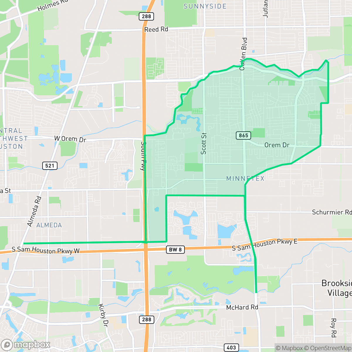
South Acres - Crestmont Park is a suburban community in south-central Houston, situated across Sims Bayou from Sunnyside. The neighborhood's development took off during the post-World War II boom to accommodate the city's expanding population. It is characterized by typical suburban street patterns featuring modest, single-story brick and wood-sided ranch-style homes built between the 1940s and 1960s on spacious lots. Historically, the area remained relatively isolated and surrounded by undeveloped land until the opening of the South Freeway (State Highway 288) in the early 1980s and the subsequent completion of the Sam Houston Tollway (Beltway 8). Local civic engagement is anchored by the Crestmont Park Civic Alliance, established in October 1963. Today, the neighborhood's recreational identity centers around the Sims Bayou Greenway and the developing "Hill at Sims Greenway" park project.
The neighborhood serves as a residential enclave in south-central Houston, characterized by its grid-patterned streets and uniform single-story homes. Its identity is closely tied to the ongoing development of the Sims Bayou Greenway, which provides residents with accessible outdoor space. The area maintains a consistent pedestrian infrastructure, allowing for easy movement throughout the residential blocks and access to local schools and recreational areas.
Prospective residents should consider the proximity to major freight corridors and industrial zones, which contribute to the local noise profile and air quality conditions. While the housing density creates a close-knit feel, the limited private backyard space is a common trait of the local tract housing. The area is best suited for those prioritizing proximity to major highway infrastructure and access to established public greenways over a purely commercial or high-amenity environment.
Neighborhood Scores Across 15 Qualities
Residential spacing varies between closely packed modern housing and single-family homes with more substantial buffers. According to iHuus data, privacy levels are slightly higher than the Houston average due to this mix of densities.
Residential streets feature consistent sidewalks and a low-traffic grid layout that supports safe pedestrian movement. This connectivity is slightly lower than the Houston average, though clear crosswalks remain accessible at main intersections.
Uniform rooflines and functional, small yards characterize this area. The visual landscape is slightly less varied than the Houston average, consisting mainly of standard tract housing and large apartment complexes.
Continuous green verges and nearby school fields provide ample space for walking pets. According to iHuus data, the availability of connected green buffers and trails is slightly above the city average.
Open land and scattered greenery are more prevalent here than in the typical Houston area. Residents can expect a landscape of low-density pockets and utility corridors interspersed with standard suburban housing and industrial buffers, according to iHuus data.
Sparse commercial density and significant industrial presence create a very low-key environment. Residents will find fewer local destinations within walking distance compared to the Houston average, making a vehicle essential for most daily errands.
Steady noise from nearby thoroughfares is present, though levels are roughly comparable to the average for Houston. According to iHuus data, residents can expect a consistent background hum from local traffic.
Air quality levels fluctuate between acceptable and unhealthy ranges, with occasional concerns for sensitive groups. According to iHuus data, the air quality in this area is slightly better than the Houston average.
Nearby wastewater treatment facilities and commercial storage yards introduce occasional utility odors and truck traffic to the area. This level of industrial proximity is roughly in line with the Houston average.
Health insurance access among residents is slightly lower than the Houston average. According to iHuus data, a significant portion of the population lacks coverage.
Voting patterns and census indicators in this area reflect a significantly more liberal leaning than the Houston average, according to iHuus data.
Residents live alongside a balanced mix of young adults, families, and seniors. This demographic spread is slightly more varied than the average found across Houston, according to iHuus data.
Some residual flood risk exists within this area because parts of the neighborhood fall within the 500-year floodplain. According to iHuus data, the safety level is slightly higher than the Houston average.
Block-Level Insights for South Acres - Crestmont Park

iHuus Neighborhood Intelligence Insights
Get block-level neighborhood insights for South Acres - Crestmont Park
- Street-level scores — see how individual blocks compare, not just neighborhood averages
- Micro-zone boundaries — identify quiet pockets, flood boundaries, and walkable clusters before you visit
- 15 dimensions in full — walkability, noise, air quality, school quality, insurance coverage, population age profile, urban/rural index, and more
- Boundary risk alerts — know if your address sits near a block boundary where scores drop, the kind of detail no listing will ever mention
- School insights — individual school ratings and insights, not just district-level data
- Compare before you commit — side-by-side data across neighborhoods, down to block precision
No credit card required
Compare with Any Neighborhood
| Dimension | South Acres - Crestmont Park | Acres Home |
|---|---|---|
| 🚶 Walkabilityavg 7.08 | ||
| 🔊 Acoustic Comfortavg 4.14 | ||
| 🤫 Privacy Indexavg 5.34 | ||
| 🎨 Visual Appealavg 6.42 | ||
| 🐕 Dog Friendlinessavg 6.33 | ||
| 🗺️ Urban-Rural Indexavg 6.64 | ||
| ✨ Neighborhood Vibeavg 4.4 | ||
| 🏥 Health Insurance Coverageavg 5.46 | ||
| 🌿 Air Qualityavg 3.58 | ||
| 🏭 Industrial Proximityavg 6.9 | ||
| 🌊 Flood Safetyavg 6.27 | ||
| 🗳️ Ideological Leanavg 6.39 | ||
| 👥 Population Age Profileavg 4.6 | ||
| 🔥 Fire Safety | ||
| 🏫 School Quality |
South Acres - Crestmont Park Rankings
School Districts Serving South Acres - Crestmont Park
Pearland Independent School District is a 'Blue Chip' organization characterized by uniform academic excellence, fiscal stability, and high community confidence. With nearly all campuses scoring between 8/10 and 10/10, the district maintains a narrow performance gap and high standards across its diverse student population. Successful recent bond measures and tax elections provide a robust financial foundation for infrastructure and technology upgrades, while its terminal high schools are state-level competitors in both academics and career-technical education. The district's proactive approach to facility modernization and teacher compensation suggests a highly stable and well-managed educational environment.
Schools
Houston ISD is a district in a state of extreme operational and political volatility, currently categorized by a state takeover and the loss of local community control. While the district maintains a collection of world-class magnet and high-performing schools that anchor its academic reputation, these are overshadowed by a 'Toxic' institutional environment characterized by a 33% teacher turnover rate, significant reliance on uncertified staff, and a steady 3.5% annual enrollment loss. Despite reports of rapid academic growth under the state-appointed leadership, the district's stability is undermined by intense community friction, school closures in underserved areas, and an organizational culture increasingly managed through high-stress compliance models, making it a high-risk entity for long-term consistency.
Schools
School Insights for South Acres - Crestmont Park
Below average outcomes; significant attendance and academic challenges.
School Insights
See what's really behind every school rating near South Acres - Crestmont Park
- Individual school ratings — each school's own score with outcome context, not just a district average
- Enrollment & class size data — student-to-teacher ratio and how it compares to the state average
- Full demographics breakdown — ethnicity and gender composition for every school in the enrollment zone
- Every school in the district — all schools within the enrollment boundary ranked by rating, not just the closest one
- Grade levels & benchmarks — elementary through high school, with below/above state-average flags
No credit card required