Pleasantville Area, Houston
Updated June 22, 2026 · 3,763 residents
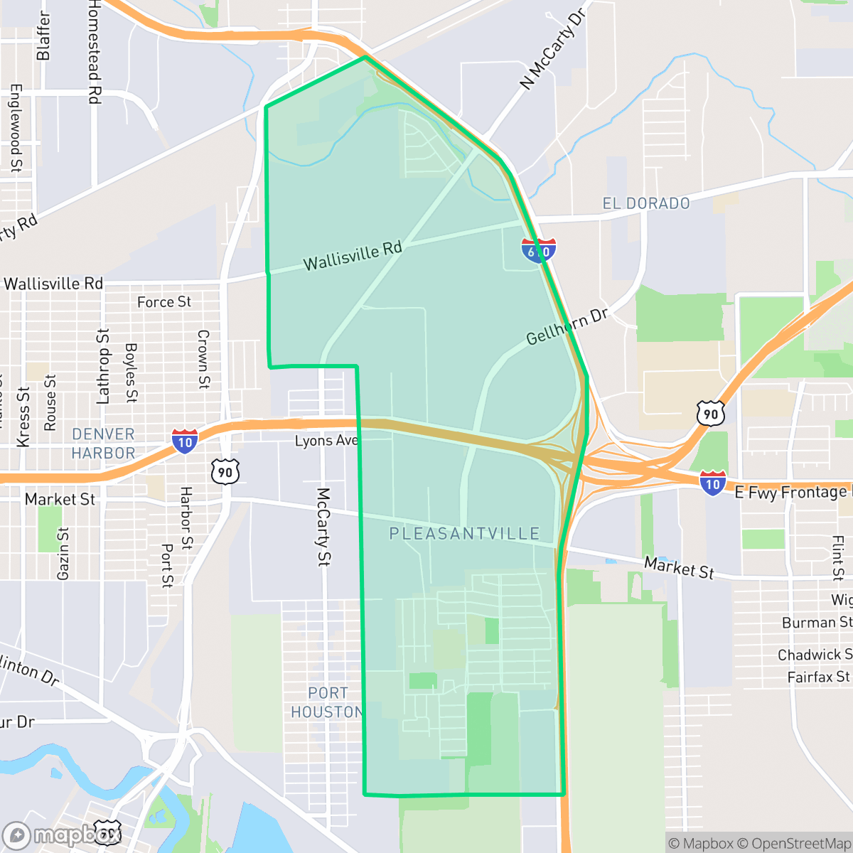
Pleasantville is a historic residential community in Houston characterized by a dense grid of homes situated directly adjacent to large-scale industrial logistics hubs and major transit corridors. While the area offers an established suburban layout, residents experience limited walkability and significant environmental challenges due to its proximity to heavy industrial infrastructure.
Key Highlights
About Pleasantville Area
Established in 1948, Pleasantville was developed by Jewish builders Melvin Silverman and H.M. Cohen in partnership with prominent Black real estate agent Judson Robinson Sr. Conceived as one of the nation's first master-planned communities for middle-income African American families and World War II veterans, it offered a rare path to legal homeownership during the era of segregation and redlining. The neighborhood quickly became a powerhouse of civic and political engagement, consistently recording some of the highest voter turnout rates in Texas. It produced influential leaders, including Judson Robinson Jr., Houston's first post-Reconstruction Black city councilmember. Despite its residential intent, Houston’s lack of zoning led to heavy industrial encroachment and highways like Interstate 610 surrounding the area, which spurred decades of grassroots environmental activism that continues to define the community today.
The current landscape of the neighborhood is defined by a juxtaposition of quiet, low-rise residential blocks and extensive industrial activity. The area features a high density of logistics warehouses, freight corridors, and tank farms, which create a distinct, industrial-heavy atmosphere. Despite the proximity to major highways and railways, the neighborhood remains a relatively quiet, car-dependent environment with few local commercial businesses or entertainment venues. The streetscape is primarily residential, though it is frequently punctuated by the presence of large-scale shipping and storage facilities.
Prospective residents should be aware of the trade-offs associated with this location, particularly regarding environmental and health metrics. While the area benefits from relatively high flood safety scores, air quality and industrial proximity remain notable concerns for the community. The neighborhood is best suited for those who prioritize established residential roots and community history over proximity to retail, nightlife, or high-walkability amenities. According to iHuus data, the area maintains a notably high ideological lean, reflecting its long-standing tradition of civic engagement and political participation.
Neighborhood Scores Across 15 Qualities
Residential spacing is mixed, offering some buffer between neighbors. This level of privacy is roughly in line with the Houston average, according to iHuus data.
Quiet streets allow for low-traffic walking, but the lack of sidewalks makes the area significantly less walkable than the Houston average. According to iHuus data, navigating the neighborhood on foot can be challenging due to a lack of dedicated pedestrian infrastructure.
Standard tract housing with small yards and simple rooflines characterizes the area. This level of visual variety is notably lower than the Houston average, according to iHuus data.
Limited greenery and narrow roadside verges make off-leash activity difficult; according to iHuus data, this area is significantly less dog-friendly than the Houston average.
Large-scale warehouses and logistics infrastructure are interspersed with residential pockets, creating a landscape that is largely similar to the Houston average. According to iHuus data, the area features a mix of open green spaces and significant industrial footprints.
Residential life here is characterized by a tranquil, industrial-suburban atmosphere with very limited commercial activity. According to iHuus data, the area lacks the social density and variety of local businesses found throughout the rest of Houston.
Steady traffic noise from nearby busy streets is present, though acoustic levels are slightly more tranquil than the Houston average according to iHuus data.
Frequent unhealthy air quality levels pose a significant risk to sensitive groups. According to iHuus data, the pollution levels in this area are notably worse than the Houston average.
Extensive logistics hubs, rail yards, and chemical tank farms bring significant truck traffic and industrial noise to the area. This level of industrial proximity is notably higher than the Houston average according to iHuus data.
Health insurance coverage among residents is notably lower than the Houston average. According to iHuus data, a small portion of the population is covered by a health plan.
Voting patterns and census indicators reflect a much more liberal political leaning than the Houston average, according to iHuus data.
Residents live alongside a balanced mix of young adults, families, and older individuals. This demographic spread is slightly more varied than the average found across Houston, according to iHuus data.
Residual flood risk exists within this area due to its location in a 500-year floodplain, though safety levels remain above the Houston average according to iHuus data.
Block-Level Insights for Pleasantville Area

iHuus Neighborhood Intelligence Insights
Get block-level neighborhood insights for Pleasantville Area
- Street-level scores — see how individual blocks compare, not just neighborhood averages
- Micro-zone boundaries — identify quiet pockets, flood boundaries, and walkable clusters before you visit
- 15 dimensions in full — walkability, noise, air quality, school quality, insurance coverage, population age profile, urban/rural index, and more
- Boundary risk alerts — know if your address sits near a block boundary where scores drop, the kind of detail no listing will ever mention
- School insights — individual school ratings and insights, not just district-level data
- Compare before you commit — side-by-side data across neighborhoods, down to block precision
No credit card required
Compare with Any Neighborhood
| Dimension | Pleasantville Area | Acres Home |
|---|---|---|
| 🚶 Walkabilityavg 7.08 | ||
| 🔊 Acoustic Comfortavg 4.14 | ||
| 🤫 Privacy Indexavg 5.34 | ||
| 🎨 Visual Appealavg 6.42 | ||
| 🐕 Dog Friendlinessavg 6.33 | ||
| 🗺️ Urban-Rural Indexavg 6.64 | ||
| ✨ Neighborhood Vibeavg 4.4 | ||
| 🏥 Health Insurance Coverageavg 5.46 | ||
| 🌿 Air Qualityavg 3.58 | ||
| 🏭 Industrial Proximityavg 6.9 | ||
| 🌊 Flood Safetyavg 6.27 | ||
| 🗳️ Ideological Leanavg 6.39 | ||
| 👥 Population Age Profileavg 4.6 | ||
| 🔥 Fire Safety | ||
| 🏫 School Quality |
Pleasantville Area Rankings
School Districts Serving Pleasantville Area
Houston ISD is a district in a state of extreme operational and political volatility, currently categorized by a state takeover and the loss of local community control. While the district maintains a collection of world-class magnet and high-performing schools that anchor its academic reputation, these are overshadowed by a 'Toxic' institutional environment characterized by a 33% teacher turnover rate, significant reliance on uncertified staff, and a steady 3.5% annual enrollment loss. Despite reports of rapid academic growth under the state-appointed leadership, the district's stability is undermined by intense community friction, school closures in underserved areas, and an organizational culture increasingly managed through high-stress compliance models, making it a high-risk entity for long-term consistency.
Schools
School Insights for Pleasantville Area
Below average outcomes; significant attendance and academic challenges.
School Insights
See what's really behind every school rating near Pleasantville Area
- Individual school ratings — each school's own score with outcome context, not just a district average
- Enrollment & class size data — student-to-teacher ratio and how it compares to the state average
- Full demographics breakdown — ethnicity and gender composition for every school in the enrollment zone
- Every school in the district — all schools within the enrollment boundary ranked by rating, not just the closest one
- Grade levels & benchmarks — elementary through high school, with below/above state-average flags
No credit card required