Pecan Park, Houston
Updated June 22, 2026 · 19,596 residents
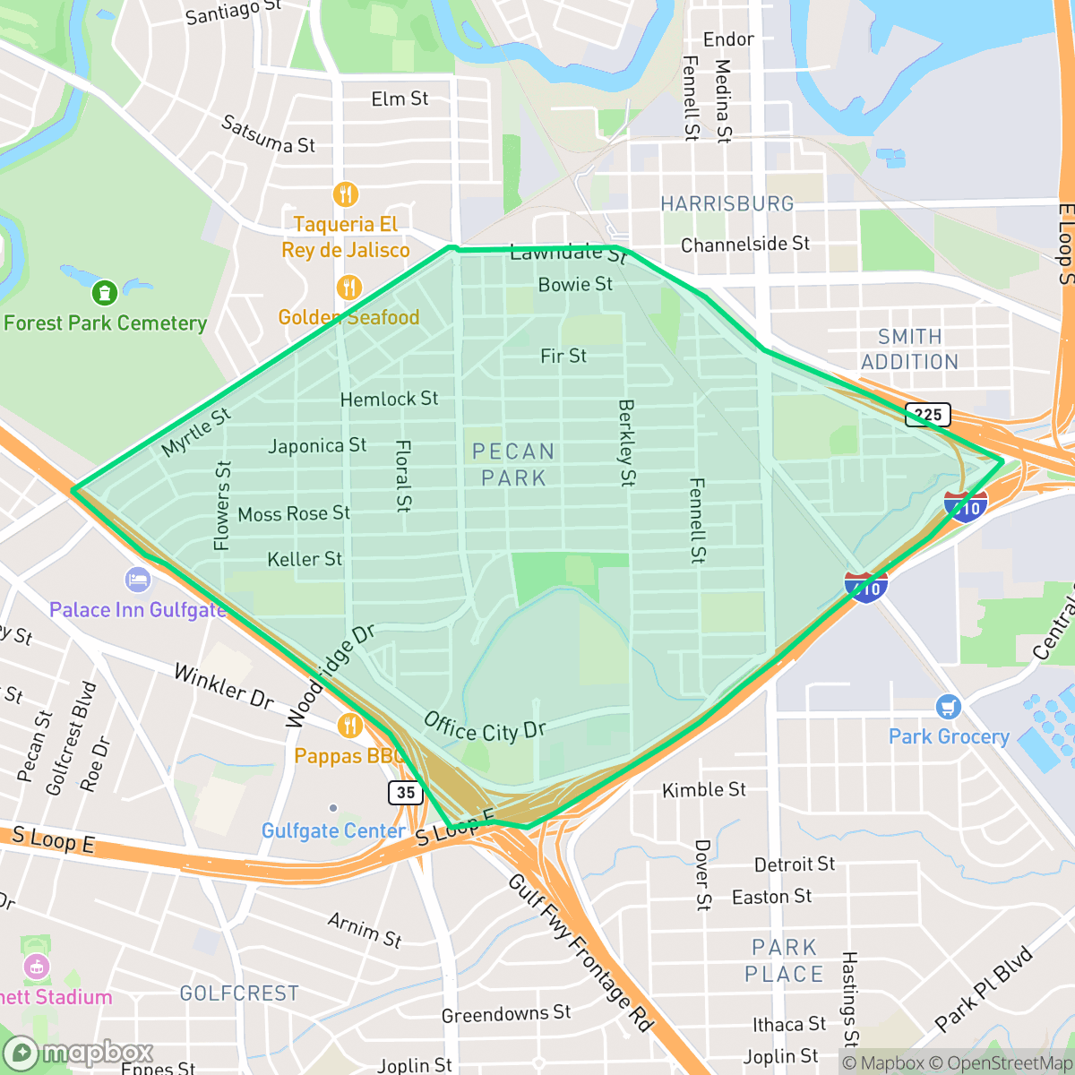
Pecan Park is a dense residential community in Houston's East End, characterized by its grid-based street layout and proximity to industrial hubs. While the area offers access to diverse local dining and several high-performing schools, residents experience significant noise from nearby highway traffic and industrial activity.
Key Highlights
About Pecan Park
Located in Houston's East End, Pecan Park is a pre-World War II residential neighborhood that was originally developed from a late-19th-century pecan orchard. Subdivided and platted by the Magnolia Park Land Company starting in 1926, its early streets were paved with shell before transitioning to asphalt and concrete in the 1930s. The neighborhood was largely built out by 1955 with modest middle-class homes, including wood and brick bungalows, Cape Cods, early Ranch-style houses, and Tudor-influenced English cottages. Due to its proximity to the Port of Houston, Pecan Park historically attracted workers from the nearby channel industries. In 2005, the neighborhood achieved modern distinction when it partnered with Rice University and Technology for All to become the first community in the United States to offer a free, large-scale community wireless hotspot.
The neighborhood functions as a dense suburban enclave where residential blocks meet light industrial zones and major transit infrastructure. Local life centers around diverse culinary offerings, including various taquerias and bakeries, which reflect the cultural fabric of the East End. Academic options are a notable feature of the area, as several local elementary and secondary schools maintain strong performance records despite broader volatility within the Houston Independent School District. According to iHuus data, the community remains a hub for those seeking proximity to the Port of Houston and downtown, though the layout is largely designed for vehicle travel rather than pedestrian activity.
Livability in the area involves specific trade-offs, particularly regarding environmental factors. The proximity to major highway interchanges and industrial rail lines contributes to elevated noise levels and lower air quality ratings. Houses are typically situated on tight lots with minimal privacy buffers, and the streetscape is often fragmented by large-scale infrastructure. However, the area benefits from a relatively high flood safety score compared to the city average, providing a degree of stability for homeowners. It is best suited for residents who prioritize school access and proximity to major employment corridors over quiet, low-density suburban environments.
Neighborhood Scores Across 15 Qualities
Residential spacing is varied, with some multi-unit complexes featuring shared walls and houses positioned closely together. This density is roughly in line with the Houston average, offering a mix of modest buffers and more compact living arrangements according to iHuus data.
Major highway interchanges and high-traffic arterials create significant barriers to long-distance walking. While some residential streets are quiet, the lack of continuous sidewalks makes the area less walkable than the Houston average, according to iHuus data.
Standard tract housing and dense apartment blocks define the skyline, offering a practical but repetitive landscape. According to iHuus data, the area features smaller yards and simpler roof geometries compared to the Houston average.
Limited public park access and narrow sidewalk verges make much of the neighborhood less ideal for casual walking than the Houston average. While some areas near the river and northern park offer grassy verges and ball fields, most greenery is contained within private fenced yards.
A blend of single-family homes and large-scale warehouses defines the landscape, which is slightly more open than the Houston average. According to iHuus data, the area features significant industrial infrastructure alongside residential pockets.
Mixes active dining hubs and industrial corridors with quieter, suburban pockets. This area offers more local amenities and dining options than the Houston average, though most destinations require a car due to the layout.
Frequent noise from nearby railroad tracks and heavy freeway traffic characterizes this area. Acoustic comfort levels are notably lower than the Houston average, according to iHuus data.
Frequent unhealthy air quality levels pose significant risks to sensitive groups. According to iHuus data, the air quality in this area is notably worse than the Houston average.
Industrial facilities, including warehouses and rail lines, are interspersed with residential zones. This level of commercial activity is slightly lower than the Houston average, though residents may encounter noise from nearby logistics hubs and large-scale utility infrastructure.
Health insurance accessibility is notably lower than the Houston average, as a small portion of the local population is covered. According to iHuus data, residents face significantly higher rates of uninsured status compared to most other parts of the city.
Political leanings in Pecan Park are notably more liberal than the Houston average, characterized by a liberal majority and a small conservative presence.
Residents live alongside a balanced mix of young adults, families, and older populations. This demographic distribution is largely consistent with the broader Houston area according to iHuus data.
Residual flood risk exists due to proximity to the 500-year floodplain, though the area remains slightly safer than the Houston average according to iHuus data.
Block-Level Insights for Pecan Park

iHuus Neighborhood Intelligence Insights
Get block-level neighborhood insights for Pecan Park
- Street-level scores — see how individual blocks compare, not just neighborhood averages
- Micro-zone boundaries — identify quiet pockets, flood boundaries, and walkable clusters before you visit
- 15 dimensions in full — walkability, noise, air quality, school quality, insurance coverage, population age profile, urban/rural index, and more
- Boundary risk alerts — know if your address sits near a block boundary where scores drop, the kind of detail no listing will ever mention
- School insights — individual school ratings and insights, not just district-level data
- Compare before you commit — side-by-side data across neighborhoods, down to block precision
No credit card required
Compare with Any Neighborhood
| Dimension | Pecan Park | Acres Home |
|---|---|---|
| 🚶 Walkabilityavg 7.08 | ||
| 🔊 Acoustic Comfortavg 4.14 | ||
| 🤫 Privacy Indexavg 5.34 | ||
| 🎨 Visual Appealavg 6.42 | ||
| 🐕 Dog Friendlinessavg 6.33 | ||
| 🗺️ Urban-Rural Indexavg 6.64 | ||
| ✨ Neighborhood Vibeavg 4.4 | ||
| 🏥 Health Insurance Coverageavg 5.46 | ||
| 🌿 Air Qualityavg 3.58 | ||
| 🏭 Industrial Proximityavg 6.9 | ||
| 🌊 Flood Safetyavg 6.27 | ||
| 🗳️ Ideological Leanavg 6.39 | ||
| 👥 Population Age Profileavg 4.6 | ||
| 🔥 Fire Safety | ||
| 🏫 School Quality |
Pecan Park Rankings
School Districts Serving Pecan Park
Houston ISD is a district in a state of extreme operational and political volatility, currently categorized by a state takeover and the loss of local community control. While the district maintains a collection of world-class magnet and high-performing schools that anchor its academic reputation, these are overshadowed by a 'Toxic' institutional environment characterized by a 33% teacher turnover rate, significant reliance on uncertified staff, and a steady 3.5% annual enrollment loss. Despite reports of rapid academic growth under the state-appointed leadership, the district's stability is undermined by intense community friction, school closures in underserved areas, and an organizational culture increasingly managed through high-stress compliance models, making it a high-risk entity for long-term consistency.
Schools
School Insights for Pecan Park
Below average outcomes; significant attendance and academic challenges.
School Insights
See what's really behind every school rating near Pecan Park
- Individual school ratings — each school's own score with outcome context, not just a district average
- Enrollment & class size data — student-to-teacher ratio and how it compares to the state average
- Full demographics breakdown — ethnicity and gender composition for every school in the enrollment zone
- Every school in the district — all schools within the enrollment boundary ranked by rating, not just the closest one
- Grade levels & benchmarks — elementary through high school, with below/above state-average flags
No credit card required