Minnetex, Houston
Updated June 22, 2026 · 5,734 residents
Minnetex is a quiet, low-density neighborhood in south-central Houston characterized by a mix of residential clusters, open fields, and industrial logistics facilities. Residents experience limited walkability and few local commercial destinations, relying on personal vehicles for daily needs. The area offers a semi-rural atmosphere with significant undeveloped land, providing a distinct contrast to the dense urban core of the city.
Key Highlights
About Minnetex
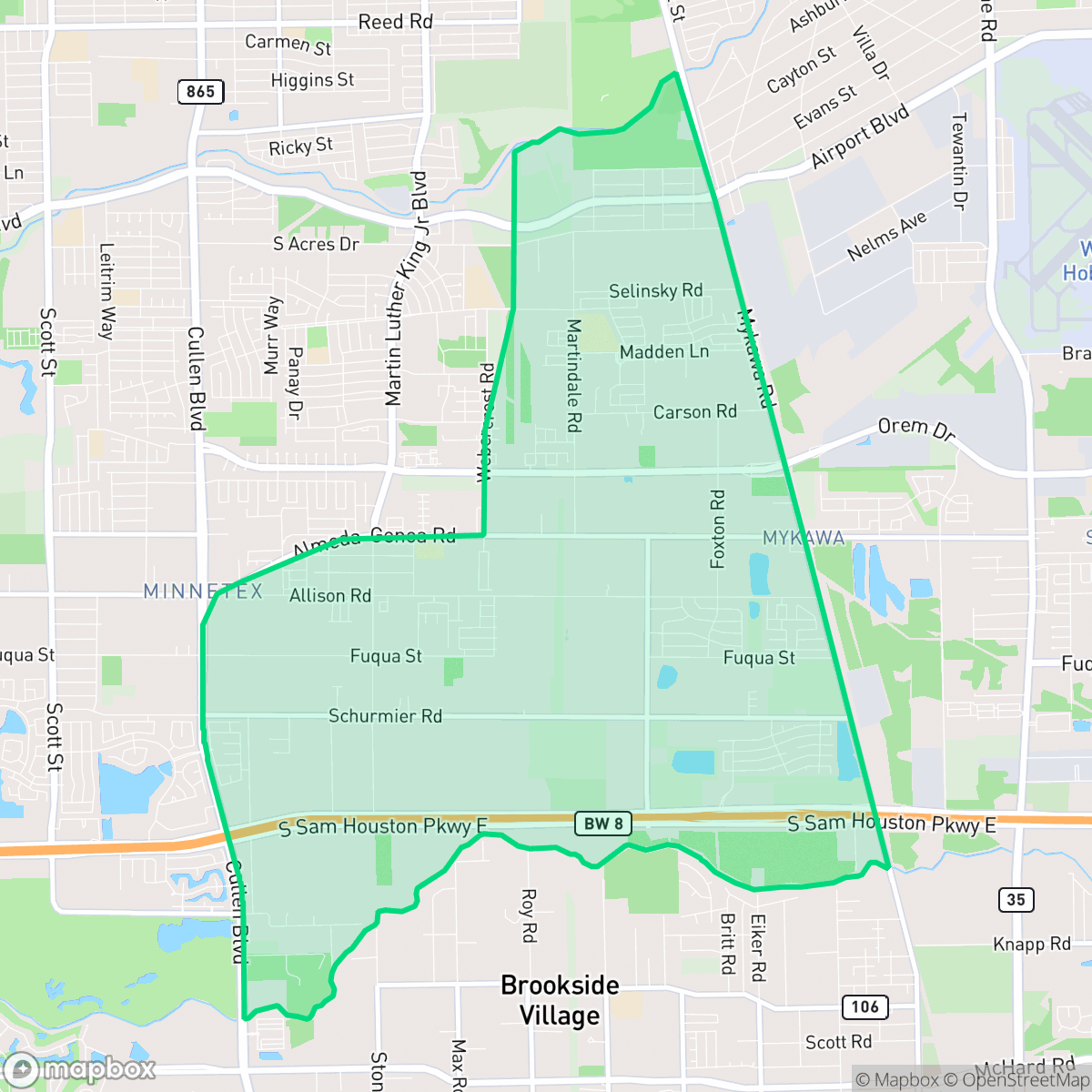
Located in extreme south-central Harris County, Minnetex originated as a sparse, semi-rural settlement. A 1936 county highway map depicted only a church and scattered, unnamed dwellings in the area. Historically, the surrounding region was shaped by agricultural activity; by 1951, Japanese rice farmers who had previously cultivated land in neighboring Mykawa relocated to the vicinity of Minnetex. Over the decades, the area remained largely isolated and experienced very little development, retaining much of its raw land and open space. Officially recognized as a Houston Super Neighborhood in 2001, Minnetex has gradually transitioned into a mixed-use community. Today, it blends scattered single-family homes and small, large-lot subdivisions with industrial facilities and raw acreage, situated along the approach path of the nearby William P. Hobby Airport.
The neighborhood functions as a transitional zone between suburban residential pockets and industrial corridors, featuring a landscape defined by large open plots and warehouses. While it maintains a relatively peaceful environment with moderate noise levels, the lack of local businesses and social venues results in a quiet, car-dependent daily experience. According to iHuus data, the area benefits from relatively high flood safety and strong health insurance coverage compared to the broader Houston average, providing a stable, if remote, living environment.
This community is best suited for those who prioritize space and privacy over immediate access to urban amenities. Prospective residents should consider the industrial proximity, which brings heavy vehicle traffic and logistics activity, alongside the limited pedestrian infrastructure. While some parts of the community fall within the highly regarded Pearland Independent School District, others are served by the Houston Independent School District, making school district boundaries a critical factor for families when selecting a specific street or block.
Neighborhood Scores Across 15 Qualities
Residential spacing is mixed, providing more separation between neighbors than the Houston average. According to iHuus data, some buffers exist between properties, though density remains moderate.
Quiet streets permit walking, but the lack of sidewalks makes pedestrian movement less convenient than the Houston average, according to iHuus data.
Standard tract housing defines the local view, featuring boxy rooflines and modest yards. This visual character sits slightly below the Houston average according to iHuus data.
Limited access to wide green verges and public parks means pet owners may find fewer local walking options compared to the Houston average. According to iHuus data, the area lacks the abundant open recreational space found in more pet-centric neighborhoods.
Large undeveloped woodlands and open fields characterize this area, providing a more rural landscape than the Houston average. According to iHuus data, the neighborhood features a mix of scattered residential lots and significant industrial footprints.
Low density and significant open space characterize this area, which lacks the commercial activity and social variety found in most of Houston. Residents will find a very quiet environment, though the scarcity of local businesses means a car is necessary for most errands.
Consistent sound from nearby busy streets creates a moderate level of ambient noise, which is typical for this area and aligns with the city average according to iHuus data.
Air quality in this area fluctuates between acceptable and unhealthy levels, though it remains slightly better than the Houston average according to iHuus data. Residents in sensitive groups should monitor local conditions for occasional periods of concern.
Large logistics hubs, electrical substations, and heavy equipment yards contribute to notable truck traffic and noise levels. This industrial presence is more concentrated here than in the average Houston neighborhood, according to iHuus data.
Health insurance enrollment in this area is roughly in line with the Houston average. According to iHuus data, a significant portion of the resident population remains uninsured.
Voting patterns and census indicators show a significantly more liberal political leaning than the Houston average, according to iHuus data.
Residents will find a varied demographic of young adults, families, and seniors; this age distribution is slightly more varied than the Houston average according to iHuus data.
Flood risk in this area remains undetermined due to a lack of detailed federal studies, though it is slightly higher than the Houston average. According to iHuus data, residents should remain aware of potential drainage concerns during heavy rain events.
Block-Level Insights for Minnetex

iHuus Neighborhood Intelligence Insights
Get block-level neighborhood insights for Minnetex
- Street-level scores — see how individual blocks compare, not just neighborhood averages
- Micro-zone boundaries — identify quiet pockets, flood boundaries, and walkable clusters before you visit
- 15 dimensions in full — walkability, noise, air quality, school quality, insurance coverage, population age profile, urban/rural index, and more
- Boundary risk alerts — know if your address sits near a block boundary where scores drop, the kind of detail no listing will ever mention
- School insights — individual school ratings and insights, not just district-level data
- Compare before you commit — side-by-side data across neighborhoods, down to block precision
No credit card required
Compare with Any Neighborhood
| Dimension | Minnetex | Acres Home |
|---|---|---|
| 🚶 Walkabilityavg 7.08 | ||
| 🔊 Acoustic Comfortavg 4.14 | ||
| 🤫 Privacy Indexavg 5.34 | ||
| 🎨 Visual Appealavg 6.42 | ||
| 🐕 Dog Friendlinessavg 6.33 | ||
| 🗺️ Urban-Rural Indexavg 6.64 | ||
| ✨ Neighborhood Vibeavg 4.4 | ||
| 🏥 Health Insurance Coverageavg 5.46 | ||
| 🌿 Air Qualityavg 3.58 | ||
| 🏭 Industrial Proximityavg 6.9 | ||
| 🌊 Flood Safetyavg 6.27 | ||
| 🗳️ Ideological Leanavg 6.39 | ||
| 👥 Population Age Profileavg 4.6 | ||
| 🔥 Fire Safety | ||
| 🏫 School Quality |
Minnetex Rankings
School Districts Serving Minnetex
Pearland Independent School District is a 'Blue Chip' organization characterized by uniform academic excellence, fiscal stability, and high community confidence. With nearly all campuses scoring between 8/10 and 10/10, the district maintains a narrow performance gap and high standards across its diverse student population. Successful recent bond measures and tax elections provide a robust financial foundation for infrastructure and technology upgrades, while its terminal high schools are state-level competitors in both academics and career-technical education. The district's proactive approach to facility modernization and teacher compensation suggests a highly stable and well-managed educational environment.
Schools
Houston ISD is a district in a state of extreme operational and political volatility, currently categorized by a state takeover and the loss of local community control. While the district maintains a collection of world-class magnet and high-performing schools that anchor its academic reputation, these are overshadowed by a 'Toxic' institutional environment characterized by a 33% teacher turnover rate, significant reliance on uncertified staff, and a steady 3.5% annual enrollment loss. Despite reports of rapid academic growth under the state-appointed leadership, the district's stability is undermined by intense community friction, school closures in underserved areas, and an organizational culture increasingly managed through high-stress compliance models, making it a high-risk entity for long-term consistency.
Schools
School Insights for Minnetex
Below average outcomes; significant attendance and academic challenges.
School Insights
See what's really behind every school rating near Minnetex
- Individual school ratings — each school's own score with outcome context, not just a district average
- Enrollment & class size data — student-to-teacher ratio and how it compares to the state average
- Full demographics breakdown — ethnicity and gender composition for every school in the enrollment zone
- Every school in the district — all schools within the enrollment boundary ranked by rating, not just the closest one
- Grade levels & benchmarks — elementary through high school, with below/above state-average flags
No credit card required