Linnfield, Houston
Updated June 22, 2026 · 499 residents
Linnfield is a quiet, car-dependent suburban neighborhood characterized by a semi-rural atmosphere and uniform tract housing. While residents benefit from high rates of health insurance coverage and a diverse age demographic, the area faces challenges regarding air quality and limited local social amenities.
Key Highlights
About Linnfield
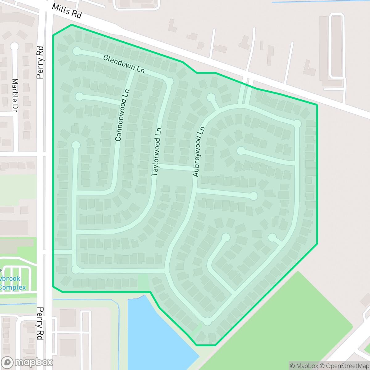
Located within the Cypress-Fairbanks Independent School District, the area features a blend of woodland patches and residential clusters that contribute to a spacious, semi-rural feel. The landscape is defined by consistent suburban architecture, with many properties featuring well-maintained yards and private pools interspersed with mid-range apartment complexes. According to iHuus data, residents here enjoy a quieter environment than much of the city, though the proximity to light industrial warehouses and a nearby Superfund site on the eastern edge remains a notable feature of the local geography.
Living in the neighborhood requires a reliance on personal vehicles due to the scarcity of walkable social hubs and lifestyle services. While the area offers a balanced ideological environment and high levels of health insurance coverage, prospective residents should be aware of the moderate flood risk associated with the 500-year floodplain. Families often consider the area for its access to the local school district, though they should weigh the benefits of academic performance against current district-wide fiscal constraints and reduced auxiliary services.
Neighborhood Scores Across 15 Qualities
Residential spacing in Linnfield offers a balance of shared proximity and standard yard buffers, performing closely to the Houston average. According to iHuus data, the area features a mix of closely spaced suburban layouts and multi-family units alongside homes with moderate separation between neighbors.
Residential streets offer safe passages and sidewalks on certain blocks, though some crossings near main roads can be heavily trafficked. According to iHuus data, the ease of navigating this area on foot is slightly lower than the Houston average.
Standard tract housing and consistent rooflines define the landscape, though the area sits slightly below the Houston average for visual variety. Many properties feature tidy yards and private backyard pools, while other pockets consist of mid-range apartment complexes with fewer luxury amenities.
Grassy setbacks and continuous green drainage corridors offer reliable paths for pet owners, though the area sits slightly below the Houston average for dedicated park access.
Open land and scattered greenery provide a more spacious, semi-rural atmosphere that is slightly less developed than the Houston average. According to iHuus data, the landscape features a mix of woodland areas and residential clusters.
Limited local amenities and a lack of walkable social hubs make this area primarily car-oriented. According to iHuus data, the neighborhood offers significantly less activity and fewer lifestyle services than the Houston average.
Steady traffic sounds from nearby busy streets are present, though the area remains significantly quieter than the Houston city average according to iHuus data.
Frequent unhealthy air quality levels pose significant risks to sensitive groups; according to iHuus data, these conditions are slightly worse than the Houston average.
Light industrial and commercial warehouses exist alongside residential areas, though levels of industrial density are slightly lower than the Houston average. Residents should be aware of potential noise from scrap yards on the eastern edge and the proximity of a nearby Superfund site according to iHuus data.
Health insurance access among residents is notably higher than the Houston average, according to iHuus data.
Political leanings in this area are evenly split between conservative and liberal residents. This represents a more balanced ideological landscape than the more liberal leaning average seen across Houston, according to iHuus data.
Residents live alongside a diverse range of age groups, including young adults, families, and older populations. This demographic spread is slightly lower than the Houston average, according to iHuus data.
Flood risk here is slightly above the Houston average due to the area's location within a 500-year floodplain. Residents should remain aware of potential residual flooding during extreme weather events, according to iHuus data.
Block-Level Insights for Linnfield

iHuus Neighborhood Intelligence Insights
Get block-level neighborhood insights for Linnfield
- Street-level scores — see how individual blocks compare, not just neighborhood averages
- Micro-zone boundaries — identify quiet pockets, flood boundaries, and walkable clusters before you visit
- 15 dimensions in full — walkability, noise, air quality, school quality, insurance coverage, population age profile, urban/rural index, and more
- Boundary risk alerts — know if your address sits near a block boundary where scores drop, the kind of detail no listing will ever mention
- School insights — individual school ratings and insights, not just district-level data
- Compare before you commit — side-by-side data across neighborhoods, down to block precision
No credit card required
Compare with Any Neighborhood
| Dimension | Linnfield | Acres Home |
|---|---|---|
| 🚶 Walkabilityavg 7.08 | ||
| 🔊 Acoustic Comfortavg 4.14 | ||
| 🤫 Privacy Indexavg 5.34 | ||
| 🎨 Visual Appealavg 6.42 | ||
| 🐕 Dog Friendlinessavg 6.33 | ||
| 🗺️ Urban-Rural Indexavg 6.64 | ||
| ✨ Neighborhood Vibeavg 4.4 | ||
| 🏥 Health Insurance Coverageavg 5.46 | ||
| 🌿 Air Qualityavg 3.58 | ||
| 🏭 Industrial Proximityavg 6.9 | ||
| 🌊 Flood Safetyavg 6.27 | ||
| 🗳️ Ideological Leanavg 6.39 | ||
| 👥 Population Age Profileavg 4.6 | ||
| 🔥 Fire Safety | ||
| 🏫 School Quality |
Linnfield Rankings
School Districts Serving Linnfield
Cypress-Fairbanks ISD is a premier educational organization in the Greater Houston area, characterized by exceptional academic performance and a deep portfolio of high-performing schools. While the district maintains a significant number of 10/10 and 8/10 rated campuses and continues to outperform state STAAR averages, it is currently navigating fiscal challenges that have resulted in reduced transportation services and increased class sizes. Despite recent school board tensions and budgetary constraints, the district remains a 'Blue Chip' destination for families due to its elite high schools, robust CTE programs, and strong community engagement, though it falls just short of a 5 rating due to the current operational instability and loss of community trust regarding auxiliary services.
Schools
School Insights for Linnfield
Below average outcomes; significant attendance and academic challenges.
School Insights
See what's really behind every school rating near Linnfield
- Individual school ratings — each school's own score with outcome context, not just a district average
- Enrollment & class size data — student-to-teacher ratio and how it compares to the state average
- Full demographics breakdown — ethnicity and gender composition for every school in the enrollment zone
- Every school in the district — all schools within the enrollment boundary ranked by rating, not just the closest one
- Grade levels & benchmarks — elementary through high school, with below/above state-average flags
No credit card required