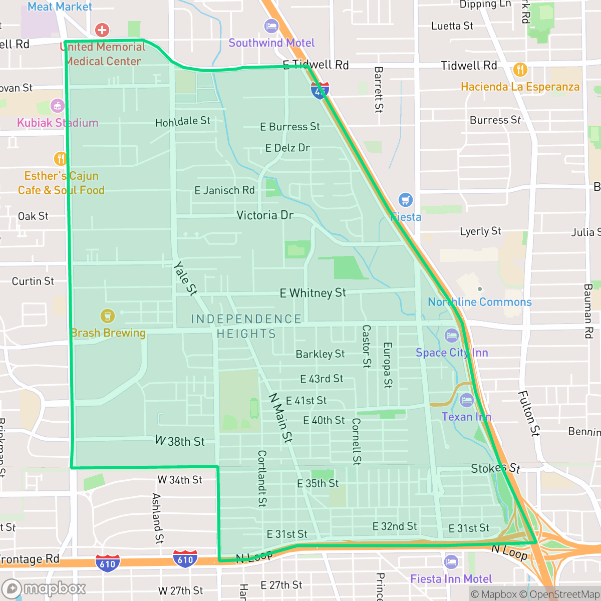
Independence Heights, Houston
Updated June 22, 2026 · 16,563 residents
Independence Heights is a historic northern Houston neighborhood defined by a dense suburban layout and a mix of single-family homes and light industrial warehouses. While the area offers proximity to local dining and community landmarks, residents navigate a car-dependent environment with limited pedestrian infrastructure and moderate noise levels from nearby road traffic.
Key Highlights
About Independence Heights
Established around 1908 by the Wright Land Company, Independence Heights in northern Houston is historically significant as the first incorporated African American municipality in Texas, achieving incorporation in 1915 under its first mayor, George O. Burgess. The self-sufficient community featured wood-frame homes and churches constructed by local Black contractors, alongside numerous Black-owned businesses. Though annexed by Houston in 1929, the neighborhood retained its distinct identity. It faced major disruption in the 1950s when the construction of the 610 Loop demolished over 250 homes. In 1997, the neighborhood’s historic residential district was added to the National Register of Historic Places, preserving key landmarks like the Greater New Hope Missionary Baptist Church and several historic residences.
The neighborhood functions as a dense suburban enclave characterized by a grid street pattern and a blend of residential blocks and commercial logistics hubs. It maintains a distinct identity through its modest housing stock and community-focused institutions, including local churches and established eateries. The landscape is marked by a functional mix of green spaces and industrial facilities, creating a utilitarian atmosphere that prioritizes accessibility to major transport corridors over pedestrian-oriented design.
Prospective residents should consider the trade-offs of living in this industrial-adjacent setting, which include higher levels of road noise and a reliance on personal vehicles for daily errands. While the area offers access to high-performing schools like Burrus Elementary, the broader school district faces ongoing institutional instability. Additionally, the neighborhood presents challenges regarding flood safety and limited privacy due to the close spacing of residential properties. It is best suited for those seeking a central location with a strong historical foundation who are comfortable with a car-centric lifestyle.
Neighborhood Scores Across 15 Qualities
Residential spacing varies from detached homes with moderate setbacks to tightly packed townhomes and apartment blocks. According to iHuus data, the level of privacy is slightly lower than the Houston average due to this mix of high-density developments and closely spaced lots.
Pedestrian movement is hindered by disconnected sidewalks and major arterial roads that act as barriers. While some residential streets remain quiet for walking, the overall connectivity is lower than the Houston average according to iHuus data.
Standard tract housing and dense townhomes define the area, which offers less greenery and fewer luxury landscape features than the Houston average. Visible unpaved patches and small yards contribute to a functional, utilitarian aesthetic according to iHuus data.
Limited public green space and narrow sidewalks make off-leash exercise difficult. According to iHuus data, the availability of accessible walking areas for dogs is below the Houston average.
Residential pockets and single-family homes are interspersed with large commercial warehouses and light industrial zones. This layout presents a transitional urban density that is very similar to the Houston average.
A mix of light industrial units, green spaces, and diverse dining options creates a balanced atmosphere that is slightly more active than the Houston average. While various social hubs and cafes exist, much of the area remains car-dependent with limited walking connectivity.
Frequent noise from nearby freight rail lines and major freeway traffic is common in this area. According to iHuus data, acoustic comfort is lower than the Houston average.
Air quality levels in Independence Heights are generally acceptable but fluctuate between healthy and concerning for sensitive groups. According to iHuus data, the air quality in this area is notably better than the Houston city average.
Logistics hubs and warehouse loading zones are interspersed with residential areas, resulting in an industrial presence that is slightly below the Houston average. Residents may experience intermittent commercial traffic and low-level operational noise from nearby service facilities and storage yards.
Health insurance coverage among residents is lower than the Houston average, which may impact access to local medical services. According to iHuus data, a significant portion of the population lacks coverage.
Voting patterns and census indicators reflect a much more liberal political leaning than the Houston average, according to iHuus data.
Residents live alongside a balanced mix of young professionals, families, and older adults. According to iHuus data, this age distribution is slightly more varied than the typical Houston profile.
Flood risk levels in this area remain undetermined because official federal studies have not yet been finalized for this specific zone. According to iHuus data, the lack of detailed mapping means the neighborhood carries a higher level of uncertainty regarding flood safety than the Houston average.
Block-Level Insights for Independence Heights

iHuus Neighborhood Intelligence Insights
Get block-level neighborhood insights for Independence Heights
- Street-level scores — see how individual blocks compare, not just neighborhood averages
- Micro-zone boundaries — identify quiet pockets, flood boundaries, and walkable clusters before you visit
- 15 dimensions in full — walkability, noise, air quality, school quality, insurance coverage, population age profile, urban/rural index, and more
- Boundary risk alerts — know if your address sits near a block boundary where scores drop, the kind of detail no listing will ever mention
- School insights — individual school ratings and insights, not just district-level data
- Compare before you commit — side-by-side data across neighborhoods, down to block precision
No credit card required
Compare with Any Neighborhood
| Dimension | Independence Heights | Acres Home |
|---|---|---|
| 🚶 Walkabilityavg 7.08 | ||
| 🔊 Acoustic Comfortavg 4.14 | ||
| 🤫 Privacy Indexavg 5.34 | ||
| 🎨 Visual Appealavg 6.42 | ||
| 🐕 Dog Friendlinessavg 6.33 | ||
| 🗺️ Urban-Rural Indexavg 6.64 | ||
| ✨ Neighborhood Vibeavg 4.4 | ||
| 🏥 Health Insurance Coverageavg 5.46 | ||
| 🌿 Air Qualityavg 3.58 | ||
| 🏭 Industrial Proximityavg 6.9 | ||
| 🌊 Flood Safetyavg 6.27 | ||
| 🗳️ Ideological Leanavg 6.39 | ||
| 👥 Population Age Profileavg 4.6 | ||
| 🔥 Fire Safety | ||
| 🏫 School Quality |
Independence Heights Rankings
School Districts Serving Independence Heights
Houston ISD is a district in a state of extreme operational and political volatility, currently categorized by a state takeover and the loss of local community control. While the district maintains a collection of world-class magnet and high-performing schools that anchor its academic reputation, these are overshadowed by a 'Toxic' institutional environment characterized by a 33% teacher turnover rate, significant reliance on uncertified staff, and a steady 3.5% annual enrollment loss. Despite reports of rapid academic growth under the state-appointed leadership, the district's stability is undermined by intense community friction, school closures in underserved areas, and an organizational culture increasingly managed through high-stress compliance models, making it a high-risk entity for long-term consistency.
Schools
School Insights for Independence Heights
Below average outcomes; significant attendance and academic challenges.
School Insights
See what's really behind every school rating near Independence Heights
- Individual school ratings — each school's own score with outcome context, not just a district average
- Enrollment & class size data — student-to-teacher ratio and how it compares to the state average
- Full demographics breakdown — ethnicity and gender composition for every school in the enrollment zone
- Every school in the district — all schools within the enrollment boundary ranked by rating, not just the closest one
- Grade levels & benchmarks — elementary through high school, with below/above state-average flags
No credit card required