Harrisburg - Manchester, Houston
Updated June 22, 2026 · 4,085 residents
Harrisburg - Manchester is a working-class community defined by its dense industrial landscape and proximity to the Houston Ship Channel. Residents experience limited walkability and notable noise from road traffic, alongside a quiet residential atmosphere that sits directly adjacent to major petrochemical infrastructure.
Key Highlights
About Harrisburg - Manchester
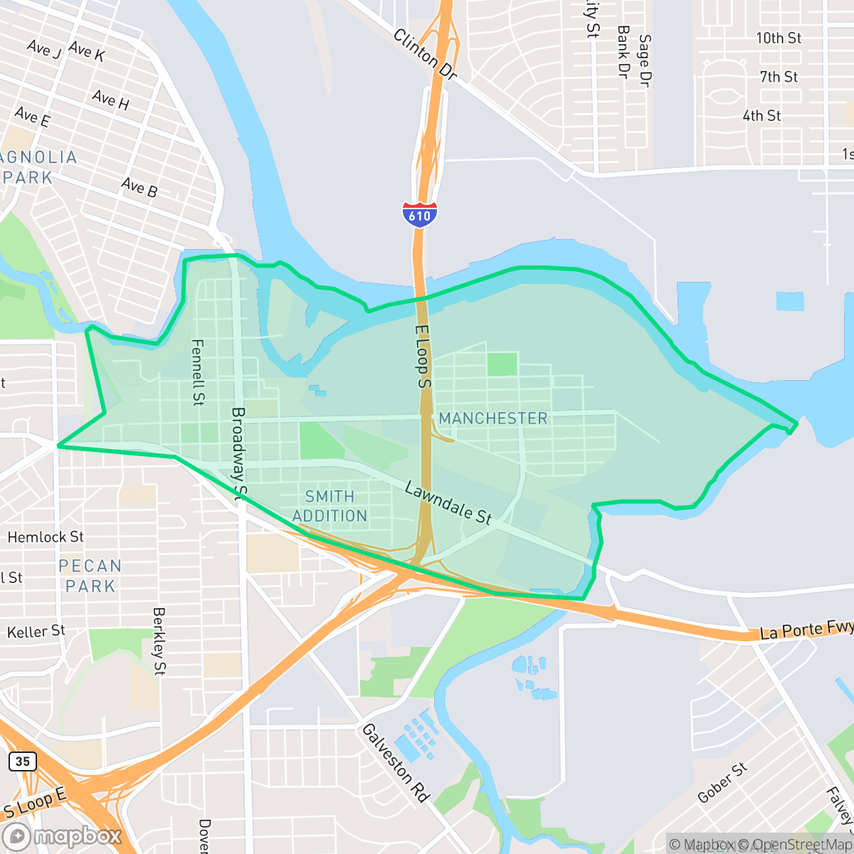
Predating Houston, Harrisburg was founded in 1826 by New Yorker John Richardson Harris at the confluence of Brays and Buffalo Bayous. It served as the temporary capital of the Republic of Texas before Mexican General Santa Anna burned it down in 1836. Rebuilt after the Texas Revolution, it became home to the state's first railroad terminal but declined after an 1870s rail yard fire. Houston annexed Harrisburg in 1926; today, the historic Glendale Cemetery is all that remains of the pioneer town. To the east, Manchester began in the 1860s as a railroad switch near Sims Bayou and the Houston Ship Channel. By the late 20th century, Manchester evolved into a heavily industrialized, predominantly Hispanic neighborhood. Surrounded by major petrochemical refineries, it is defined by its working-class character and local spaces like Hartman Park.
This area functions as a distinct urban-industrial hybrid where residential grids are frequently interrupted by freight corridors, large-scale warehouses, and active petrochemical facilities. The landscape is characterized by a high density of utility infrastructure and heavy manufacturing, creating a quiet but utilitarian environment that lacks a traditional commercial core. Local life is centered around small residential pockets and community spaces like Hartman Park, though the proximity to major rail lines and highways contributes to consistent acoustic levels from road and rail traffic.
Living in this neighborhood requires navigating significant trade-offs, particularly regarding environmental quality and infrastructure density. According to iHuus data, the area faces challenges with air quality and industrial proximity, which are central to the daily experience of residents. While the neighborhood lacks high walkability, it offers access to local educational institutions such as Yes Prep East End and Harris J R Elementary. The community is best suited for those who prioritize proximity to major industrial employment hubs over traditional urban amenities, as the area remains a quiet, working-class enclave with limited local business activity.
Neighborhood Scores Across 15 Qualities
Residential spacing varies between close-knit housing blocks and apartment clusters with shared communal areas. This level of density is roughly comparable to the Houston average according to iHuus data.
Pedestrian movement is restricted by a lack of consistent sidewalks on many residential streets, though low traffic volumes on certain roads provide a quiet environment for walking. This level of walkability falls below the Houston city average according to iHuus data.
Uniform tract housing and mid-sized apartment complexes define the skyline here. According to iHuus data, the area features simple architectural geometries and smaller yards that are less visually varied than the Houston average.
Access to river-bend parkland and nearby trails provides significant green space for pets, though overall amenities for dogs are below the Houston average. Some residential streets feature grass verges suitable for walking, according to iHuus data.
Residential pockets sit directly adjacent to heavy industrial zones, warehouses, and shipping infrastructure. According to iHuus data, the area features a similar balance of built-up landscape and open land as the rest of Houston.
A heavy industrial and suburban landscape defines the area, which features a more subdued rhythm than the Houston average. While some local dining options exist, the environment is largely characterized by warehouses, railways, and residential blocks with limited commercial density.
Steady traffic sounds from nearby busy streets are present, though the level of acoustic disturbance is slightly higher than the Houston average according to iHuus data.
Frequent unhealthy air quality levels pose a significant risk to sensitive groups; this area experiences much worse air conditions than the Houston average, according to iHuus data.
Significant industrial activity, including chemical plants, refineries, and large-scale logistics hubs, is much more prevalent here than in the rest of Houston. Residents may encounter frequent heavy truck traffic, rail activity, and proximity to large-scale storage tanks and processing facilities.
Health insurance access is significantly lower than the Houston average. Residents in this area face much higher rates of being uninsured according to iHuus data.
Political leaning in this area is notably more liberal than the Houston average. According to iHuus data, residents will find a significant liberal majority with a modest presence of opposing viewpoints.
Residents will find a diverse age distribution ranging from young professionals to families and older adults. This demographic spread is relatively comparable to the typical age profile found throughout Houston.
Flood risk in this area is difficult to assess because FEMA has not completed a detailed study for this specific location. According to iHuus data, the level of risk is higher than the Houston average.
Block-Level Insights for Harrisburg - Manchester

iHuus Neighborhood Intelligence Insights
Get block-level neighborhood insights for Harrisburg - Manchester
- Street-level scores — see how individual blocks compare, not just neighborhood averages
- Micro-zone boundaries — identify quiet pockets, flood boundaries, and walkable clusters before you visit
- 15 dimensions in full — walkability, noise, air quality, school quality, insurance coverage, population age profile, urban/rural index, and more
- Boundary risk alerts — know if your address sits near a block boundary where scores drop, the kind of detail no listing will ever mention
- School insights — individual school ratings and insights, not just district-level data
- Compare before you commit — side-by-side data across neighborhoods, down to block precision
No credit card required
Compare with Any Neighborhood
| Dimension | Harrisburg - Manchester | Acres Home |
|---|---|---|
| 🚶 Walkabilityavg 7.08 | ||
| 🔊 Acoustic Comfortavg 4.14 | ||
| 🤫 Privacy Indexavg 5.34 | ||
| 🎨 Visual Appealavg 6.42 | ||
| 🐕 Dog Friendlinessavg 6.33 | ||
| 🗺️ Urban-Rural Indexavg 6.64 | ||
| ✨ Neighborhood Vibeavg 4.4 | ||
| 🏥 Health Insurance Coverageavg 5.46 | ||
| 🌿 Air Qualityavg 3.58 | ||
| 🏭 Industrial Proximityavg 6.9 | ||
| 🌊 Flood Safetyavg 6.27 | ||
| 🗳️ Ideological Leanavg 6.39 | ||
| 👥 Population Age Profileavg 4.6 | ||
| 🔥 Fire Safety | ||
| 🏫 School Quality |
Harrisburg - Manchester Rankings
School Districts Serving Harrisburg - Manchester
Houston ISD is a district in a state of extreme operational and political volatility, currently categorized by a state takeover and the loss of local community control. While the district maintains a collection of world-class magnet and high-performing schools that anchor its academic reputation, these are overshadowed by a 'Toxic' institutional environment characterized by a 33% teacher turnover rate, significant reliance on uncertified staff, and a steady 3.5% annual enrollment loss. Despite reports of rapid academic growth under the state-appointed leadership, the district's stability is undermined by intense community friction, school closures in underserved areas, and an organizational culture increasingly managed through high-stress compliance models, making it a high-risk entity for long-term consistency.
Schools
School Insights for Harrisburg - Manchester
Below average outcomes; significant attendance and academic challenges.
School Insights
See what's really behind every school rating near Harrisburg - Manchester
- Individual school ratings — each school's own score with outcome context, not just a district average
- Enrollment & class size data — student-to-teacher ratio and how it compares to the state average
- Full demographics breakdown — ethnicity and gender composition for every school in the enrollment zone
- Every school in the district — all schools within the enrollment boundary ranked by rating, not just the closest one
- Grade levels & benchmarks — elementary through high school, with below/above state-average flags
No credit card required